


Ksudach Volcan
Updated: 26 avril. 2025 10:25 GMT -
Stratovolcano
Kamchatka, Russia, 51.8°N / 157.53°E 
+Heure locale:
Lever du soleil:
Coucher du soleil:
Lever de lune:
Coucher de lune:
Summit height: 1079 m / 3,540 ft
Condition actuelle: normal / en sommeil (1 sur 5)
[smaller] [larger]
Eruptions du volcan Ksudach: 1907
Derniers séismes proches
| Date et l'heure | Mag / Prof. | Distance / Lieux | |||
|---|---|---|---|---|---|
| 26 avril 05:36 (Kamchatka) | 1.3 5.6 km | 10.7 km au sud-est | Info | ||
Introduction
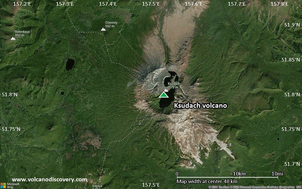
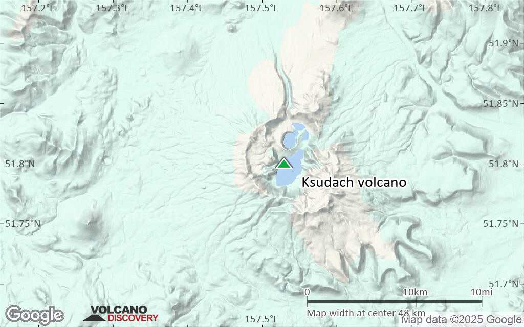
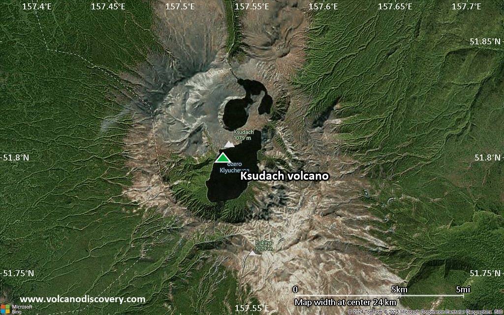
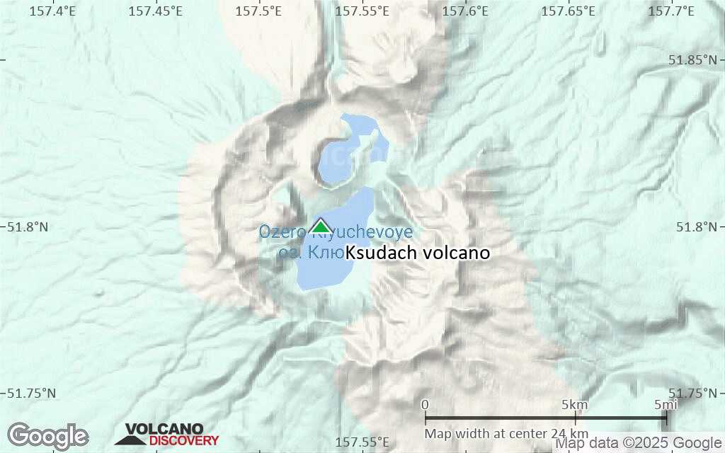
Ksudach is unique among Kamchatka volcanoes in its morphology and geologic history. It is a large, low-angle stratovolcano, constructed of alternating basaltic-andesitic lavas and dacitic pyroclastics, and is truncated by an intricate complex of five calderas. An array of post-caldera structures at Ksudach is truncated by later calderas, the last three of which formed during the Holocene, about 7900 and 5000 BC and about 240 AD. The latter eruption was the second largest in Kamchatka during the Holocene, and produced about 20 cu km of rhyodacitic airfall tephra and 3-4 cu km of pyroclastic flows. The eastern part of the caldera complex contains two lakes, the northern of which forms an embayment in Stubel Crater, a low-angle cone that began forming about 1600 years ago in the youngest caldera. The only historical eruption of Ksudach, in 1907, originated from Stubel Crater and was one of Kamchatka's largest in historical time.---
Smithsonian / GVP volcano information
Éruptions volcaniques importantes: volcano Ksudach
In the past 10,000 years, Ksudach has had only one confirmed historic eruption in 1907, but at least 14 eruptions can be inferred from geological evidence.
The table below lists all known eruptions (date in bold face) of Ksudach volcano in historic times and during the past 10,000 years. Updates on the most recent volcanic activity of Ksudach can be found on the news page of Ksudach volcano.
| Date | Note | VEI | Morts | Dommages | |
|---|---|---|---|---|---|
| Stubel Obs./docs historiques | 5 | inconnu | |||
| Stubel | 4 | inconnu | |||
| Stubel | 4+ | inconnu | |||
| ? | inconnu | ||||
| Stubel | 2 | inconnu | |||
| 240 AD (éruption | Obs./docs historiques | 6 | inconnu | Infos | |
| Ksudach V caldera | 6 | inconnu | |||
| 3 | inconnu | ||||
| 4 | inconnu | ||||
| 3 | inconnu | ||||
| 3 | inconnu | ||||
| SW part of caldera IV (Paryashchiy Utes) | ? | inconnu | |||
| Ksudach IV caldera | 5+ | inconnu | |||
| Ksudach IV caldera | 5? | inconnu | |||
| ? | inconnu | ||||
| Ksudach III caldera | 5 | inconnu | |||
Remark:
Our list of volcanic eruptions closely follows the database of eruptions of the Smithsonian's Global Volcanism Project (GVP), the internationally most recognized data source for volcanic eruptions, but also includes significant eruptive episodes or related volcano events. "Volcanic eruptions" are usually to be understood as sequences of individual eruptive episodes that can follow each other, or even overlap (if several vents are involved), and can last many years, decades or even longer. For example, the current activity of Stromboli volcano is understood as a single eruption that has been ongoing since 1934.
Sources: NOAA National Centers for Environmental Information (NCEI), Global Significant Volcanic Eruptions Database. doi:10.7289/V5TD9V7K | Global Volcanism Project / Smithsonian Institution
Ksudach Volcano FAQ
+When was the last eruption of Ksudach volcano?
The last confirmed eruption of Ksudach occurred in 1907.
+How often does Ksudach volcano erupt?
Since 1907, Ksudach volcano has had at least 1 historically documented eruptions. This means that it erupts on average every 118 years.
+How active is Ksudach volcano at present?
Ksudach volcano is occasionally active: Since 1900, it has had one eruption, which occurred in 1907.
+When was the largest eruption of Ksudach volcano?
The largest eruption known from the younger geological history of Ksudach volcano occurred around 240 AD. It ranks as a plinian eruption with a magnitude 5 on the VEI (Volcanic Explosivity Index) scale. Eruption of this size are often catastrophic on a regional scale.
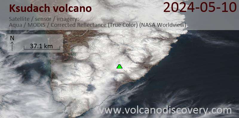
Dernières images satellite
Ksudach Volcan Cartes
Below is a selection of maps showing the location and surroundings of the volcano at various resolutions based on aerial-imagery / terrain maps. Feel free to use them for non-commercial purposes on your blog or website as long as you credit them with a link back to this page (click to copy it).
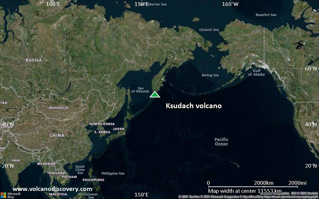
Satellite/aerial-type map of Ksudach volcano (world scale)
Terrain-type map of Ksudach volcano (world scale)
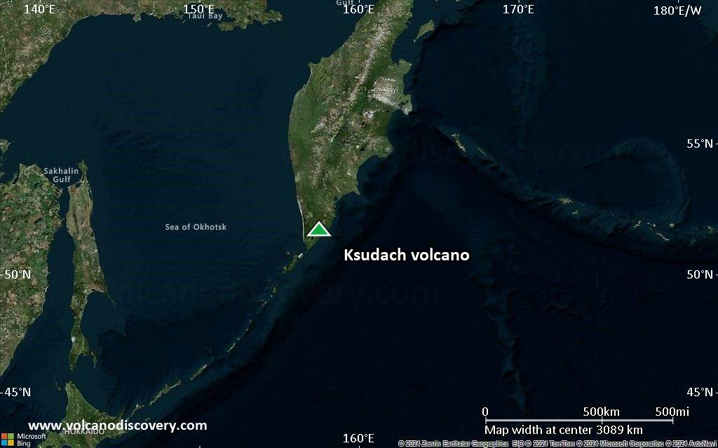
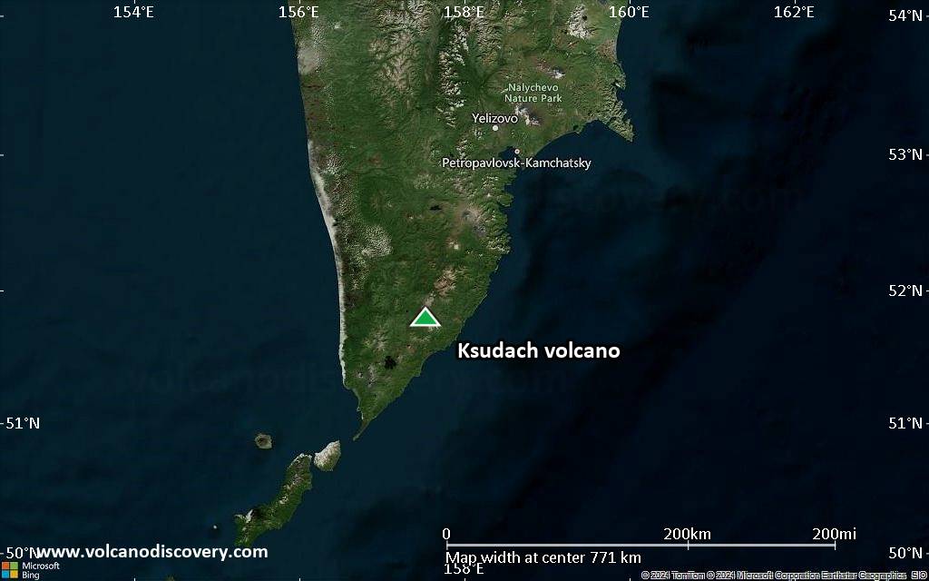
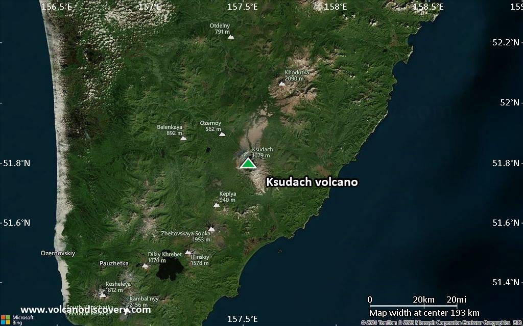
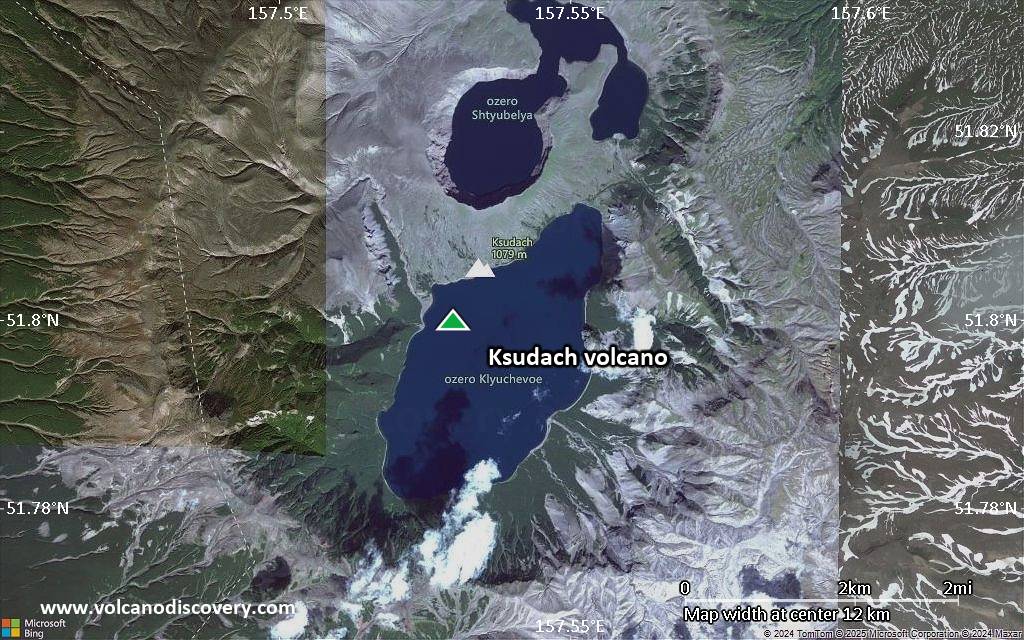
Satellite/aerial-type map of Ksudach volcano (region scale large)
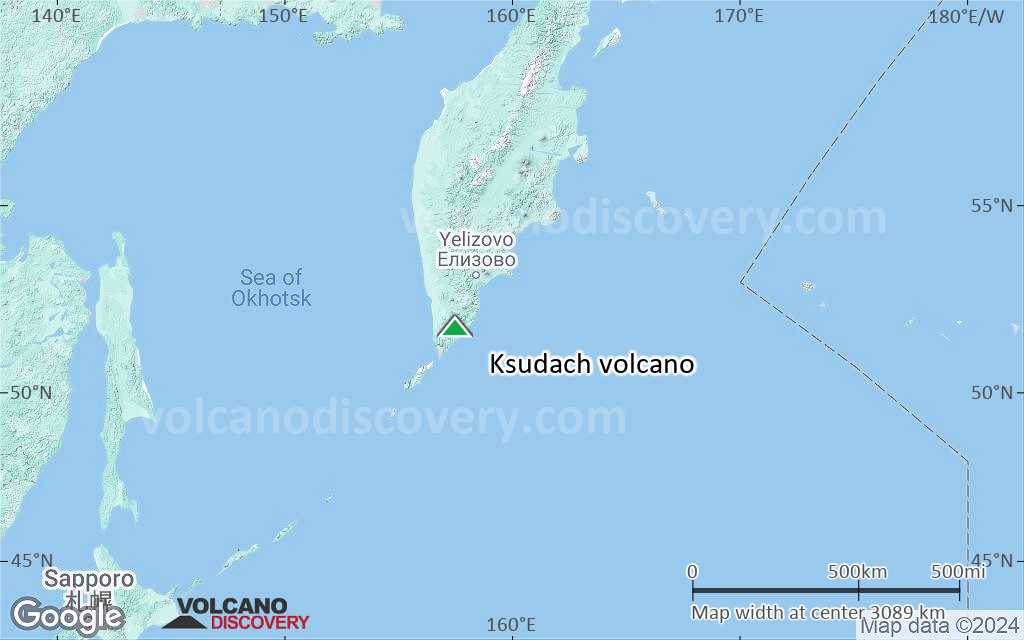
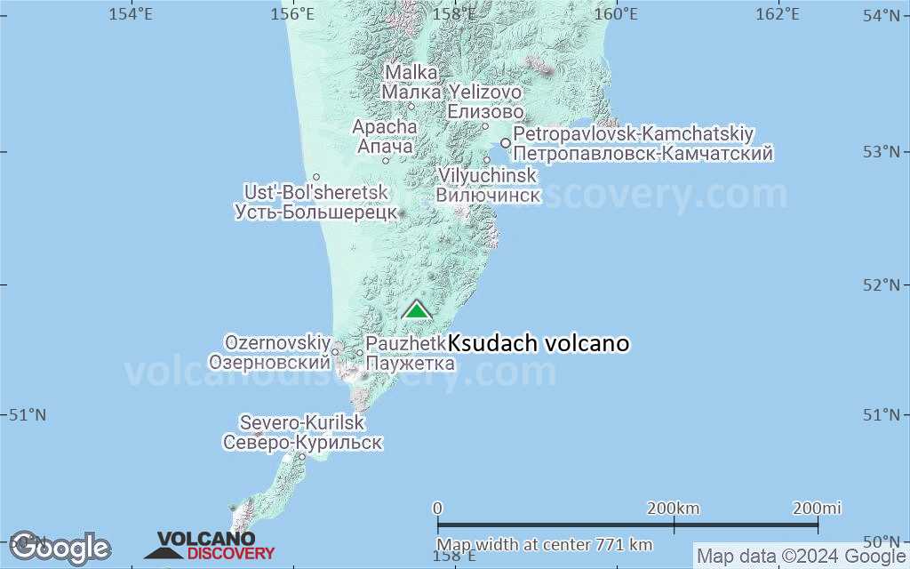
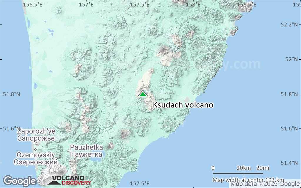
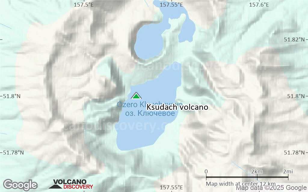
Terrain-type map of Ksudach volcano (region scale large)
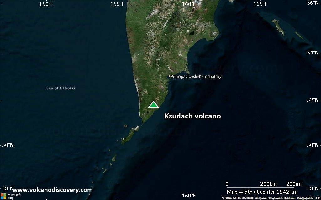
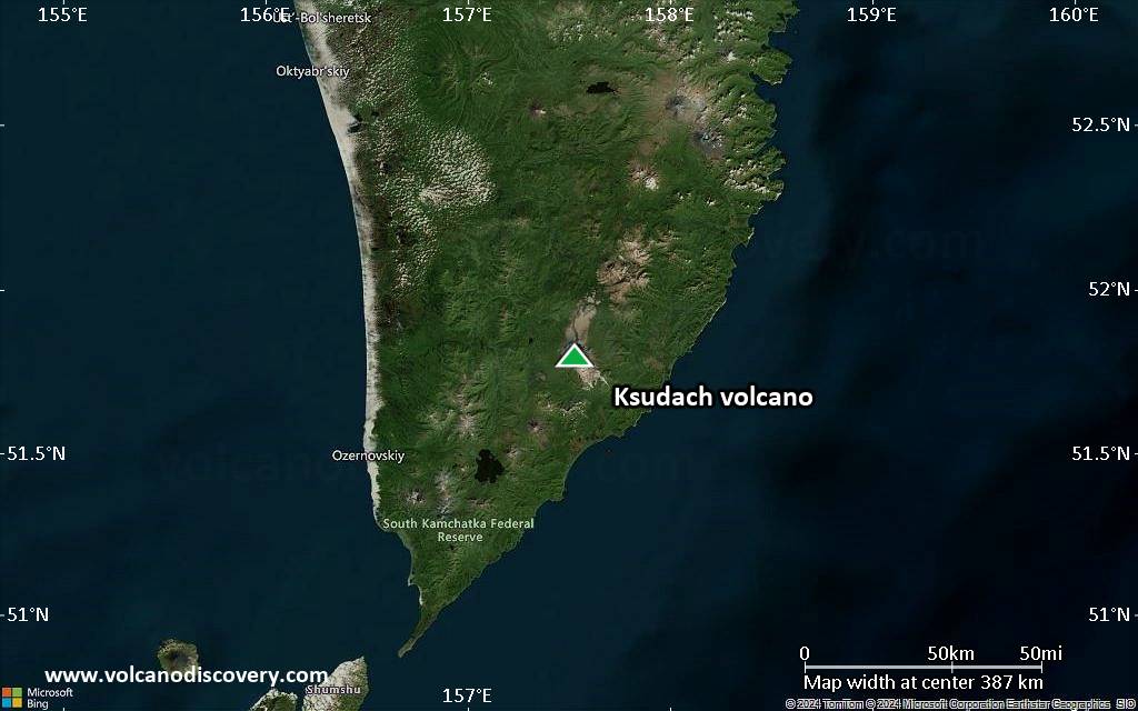
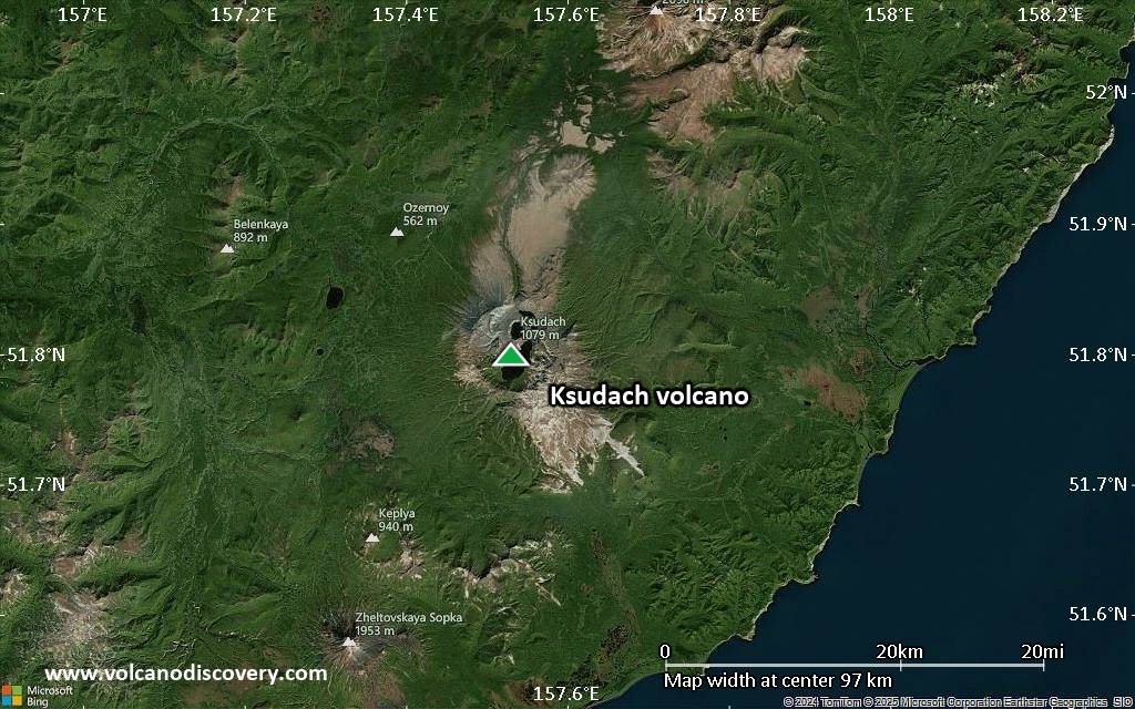
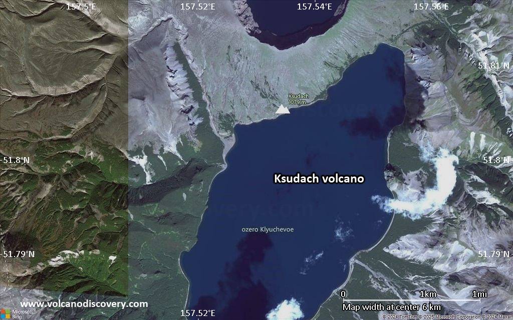
Satellite/aerial-type map of Ksudach volcano (region scale medium)
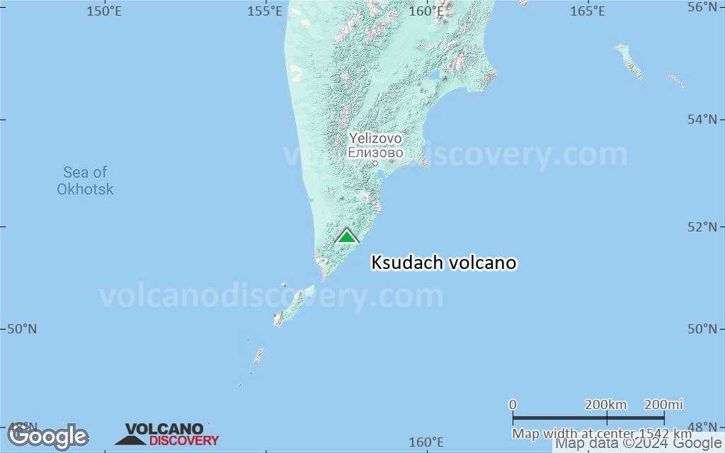
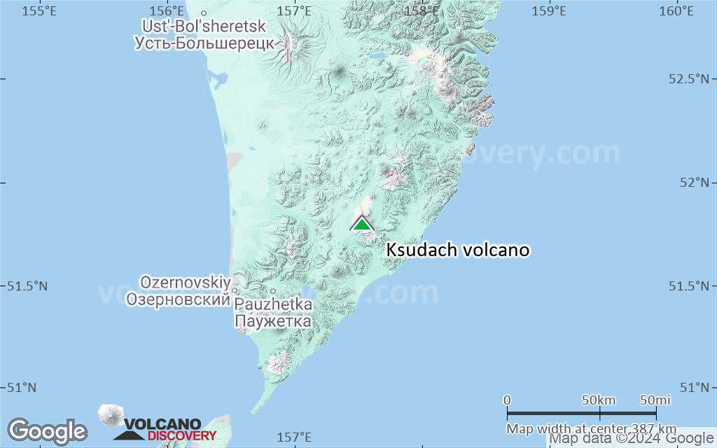
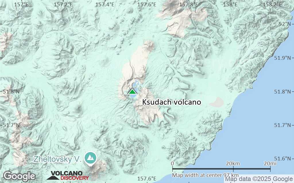
Terrain-type map of Ksudach volcano (region scale medium)
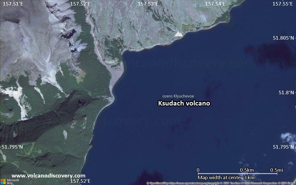
Satellite/aerial-type map of Ksudach volcano (region scale small)
Terrain-type map of Ksudach volcano (region scale small)
Satellite/aerial-type map of Ksudach volcano (local scale large)
Terrain-type map of Ksudach volcano (local scale large)
Satellite/aerial-type map of Ksudach volcano (local scale medium)
Terrain-type map of Ksudach volcano (local scale medium)
Satellite/aerial-type map of Ksudach volcano (local scale small)
Terrain-type map of Ksudach volcano (local scale small)
Satellite/aerial-type map of Ksudach volcano (scale of 10s of km)
Terrain-type map of Ksudach volcano (scale of 10s of km)
Satellite/aerial-type map of Ksudach volcano (scale of 20-40 km)
Terrain-type map of Ksudach volcano (scale of 20-40 km)
Satellite/aerial-type map of Ksudach volcano (scale of approx. 10-20 km)
Terrain-type map of Ksudach volcano (scale of approx. 10-20 km)
Satellite/aerial-type map of Ksudach volcano (scale of 5-10 km)
Satellite/aerial-type map of Ksudach volcano (scale of few kilometers)


