


Kronotsky Volcan
Updated: 26 avril. 2025 10:20 GMT -
Stratovolcano
Kamchatka, Russia, 54.75°N / 160.53°E 
+Heure locale:
Lever du soleil:
Coucher du soleil:
Lever de lune:
Coucher de lune:
Summit height: 3528 m / 11,575 ft
Condition actuelle: normal / en sommeil (1 sur 5)
[smaller] [larger]
Eruptions du volcan Kronotsky: 1923
Derniers séismes proches
| Date et l'heure | Mag / Prof. | Distance / Lieux | |||
|---|---|---|---|---|---|
| 26 avril 10:13 (Kamchatka) | 2.3 116 km | 3.5 km à l'ouest | Info | ||
Introduction
This symmetrical stratovolcano, one of the most scenic in Kamchatka, lies between the Pacific Ocean and Lake Kronotsky, Kamchatka's largest lake. The lake formed at the end of the Pleistocene and the beginning of the Holocene when extensive lava flows on the south side of Kronotsky volcano dammed the Listvenichnaya River. The flanks of the massive 3528-m-high volcano, one of the largest in Kamchatka, are dissected by radial valleys up to 200 m deep. A volcanic neck plugs the summit crater. Cinder cones are found on the north and primarily on the SE and SW flanks. Kronotsky lavas have been dominantly basaltic, with the exception of the small basaltic-andesite summit lava extrusion and a flank lava flow. Weak phreatic eruptions took place in the 20th century.---
Smithsonian / GVP volcano information
Éruptions volcaniques importantes: volcano Kronotsky
In the past 10,000 years, Kronotsky has had at least 3 confirmed volcanic eruptions, out of which 2 are documented by historical records, while the others can be inferred from geological evidence.
The table below lists all known eruptions (date in bold face) of Kronotsky volcano in historic times and during the past 10,000 years. Updates on the most recent volcanic activity of Kronotsky can be found on the news page of Kronotsky volcano.
| Date | Note | VEI | Morts | Dommages | |
|---|---|---|---|---|---|
| Summit and/or south flank (3150 m) Obs./docs historiques | 2 | inconnu | |||
| South flank (3150 m) Obs./docs historiques | 2 | inconnu | |||
| ? | inconnu | ||||
Remark:
Our list of volcanic eruptions closely follows the database of eruptions of the Smithsonian's Global Volcanism Project (GVP), the internationally most recognized data source for volcanic eruptions, but also includes significant eruptive episodes or related volcano events. "Volcanic eruptions" are usually to be understood as sequences of individual eruptive episodes that can follow each other, or even overlap (if several vents are involved), and can last many years, decades or even longer. For example, the current activity of Stromboli volcano is understood as a single eruption that has been ongoing since 1934.
Sources: NOAA National Centers for Environmental Information (NCEI), Global Significant Volcanic Eruptions Database. doi:10.7289/V5TD9V7K | Global Volcanism Project / Smithsonian Institution
Kronotsky Volcano FAQ
+When was the last eruption of Kronotsky volcano?
The last confirmed eruption of Kronotsky occurred in 1923.
+How often does Kronotsky volcano erupt?
Since 1922, Kronotsky volcano has had at least 2 historically documented eruptions. This means that it erupts on average every 52 years.
+How active is Kronotsky volcano at present?
Kronotsky volcano is occasionally active: Since 1900, it has had 2 eruptions, and been active during 2 years out of 126 as of now. This means, Kronotsky has been in eruption one in 63 years on average. The last eruption was in 1923 and ended 102 years ago.
+When was the largest eruption of Kronotsky volcano?
The largest eruption of Kronotsky volcano in historic times occurred in 1923. It ranks as a strombolian to vulcanian eruption with a magnitude 2 on the VEI (Volcanic Explosivity Index) scale.
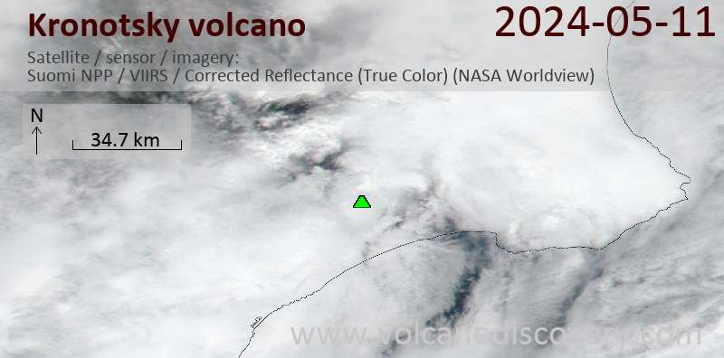
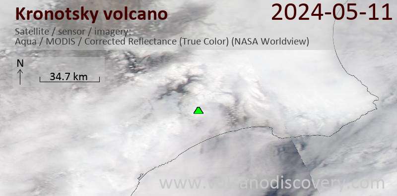
Dernières images satellite
Kronotsky Volcan Cartes
Below is a selection of maps showing the location and surroundings of the volcano at various resolutions based on aerial-imagery / terrain maps. Feel free to use them for non-commercial purposes on your blog or website as long as you credit them with a link back to this page (click to copy it).
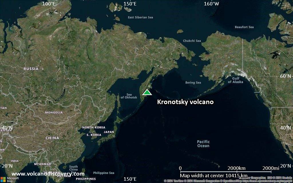
Satellite/aerial-type map of Kronotsky volcano (world scale)

Terrain-type map of Kronotsky volcano (world scale)
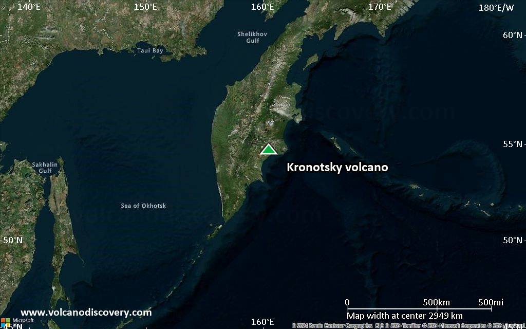
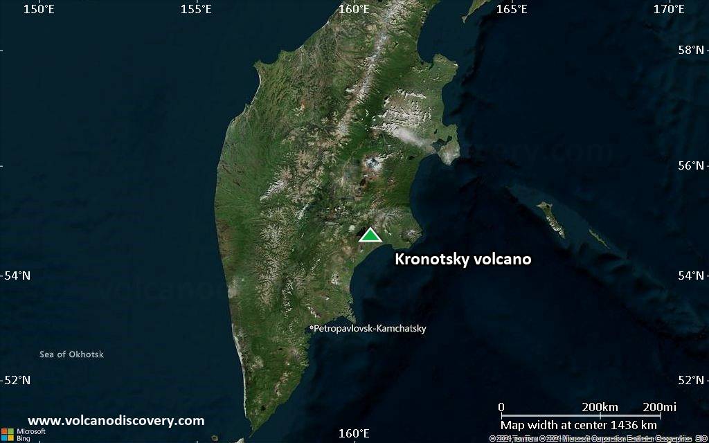
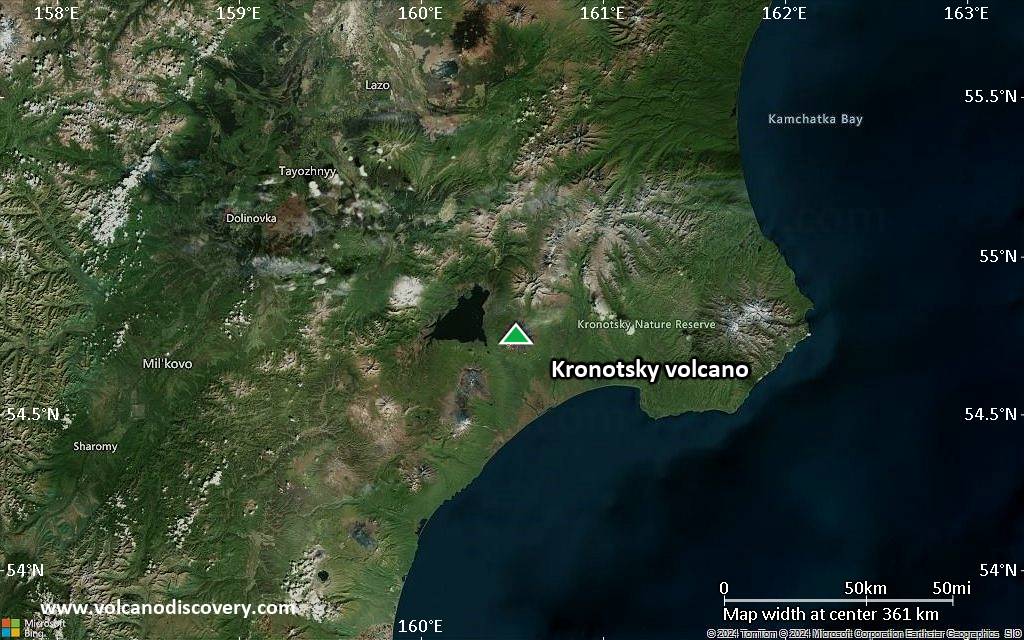
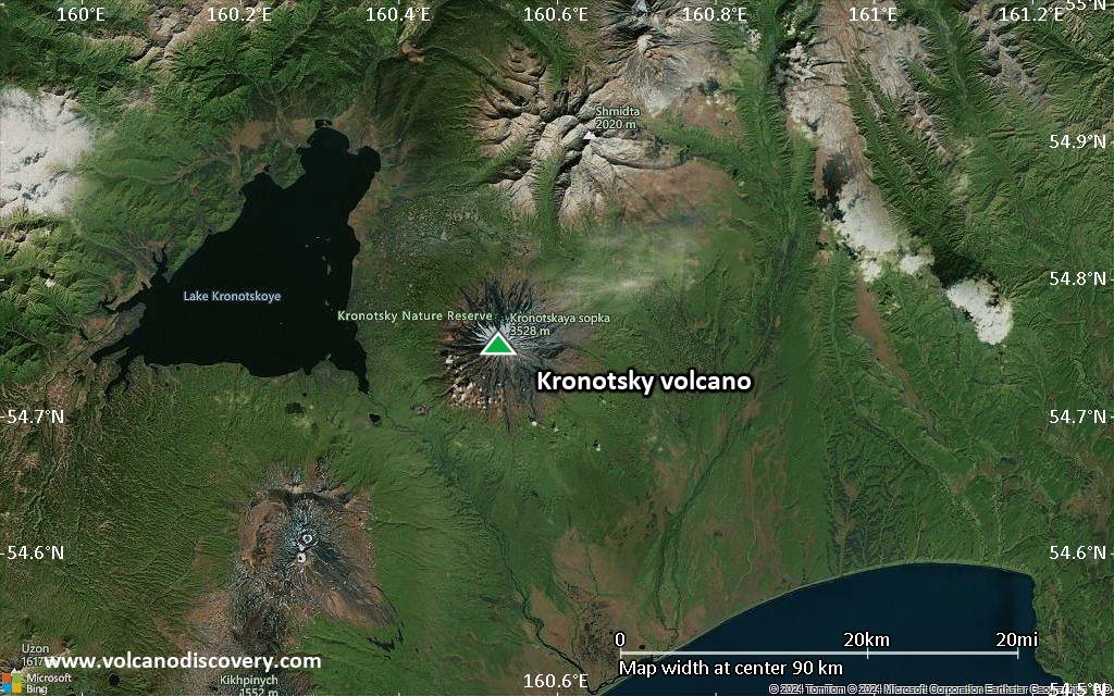
Satellite/aerial-type map of Kronotsky volcano (region scale large)
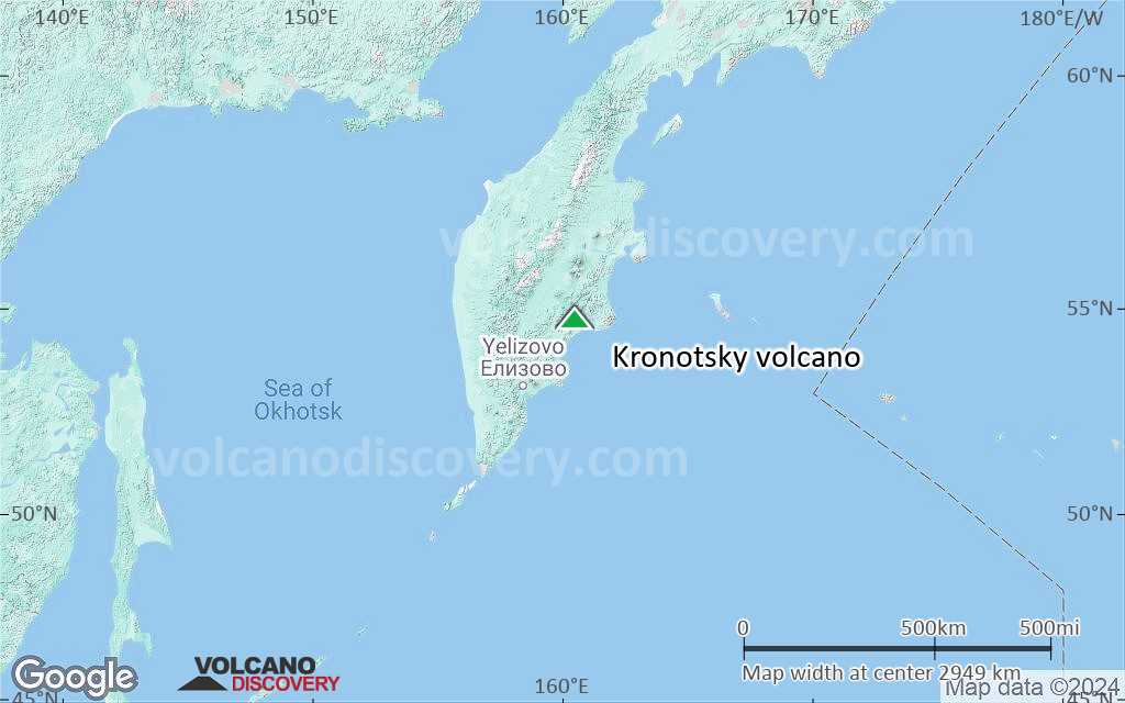
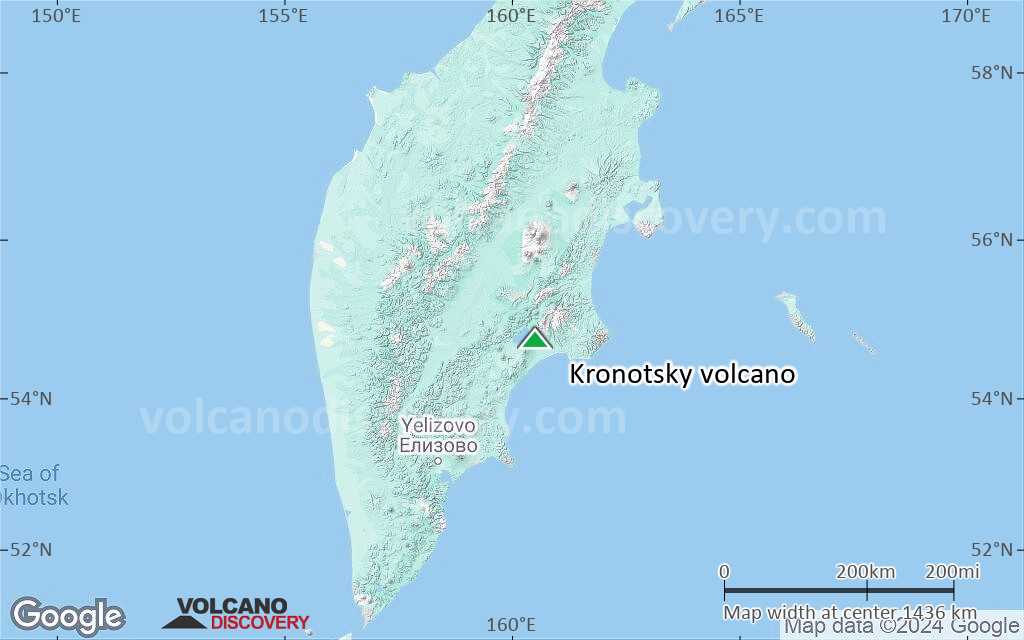
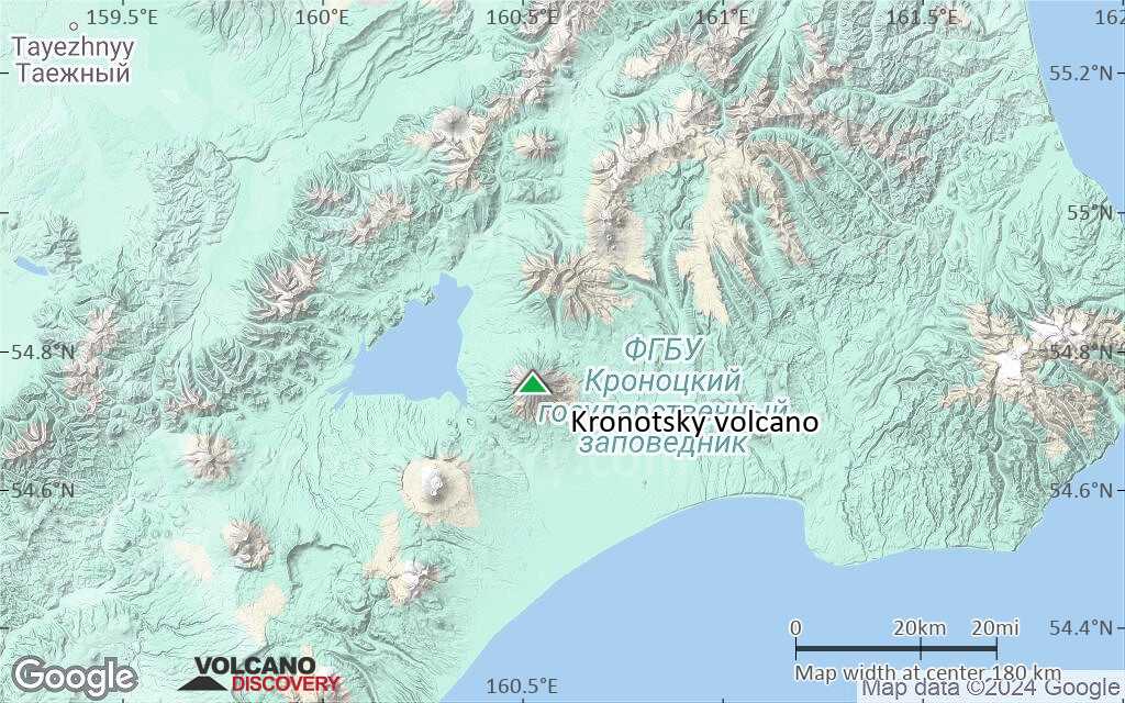
Terrain-type map of Kronotsky volcano (region scale large)
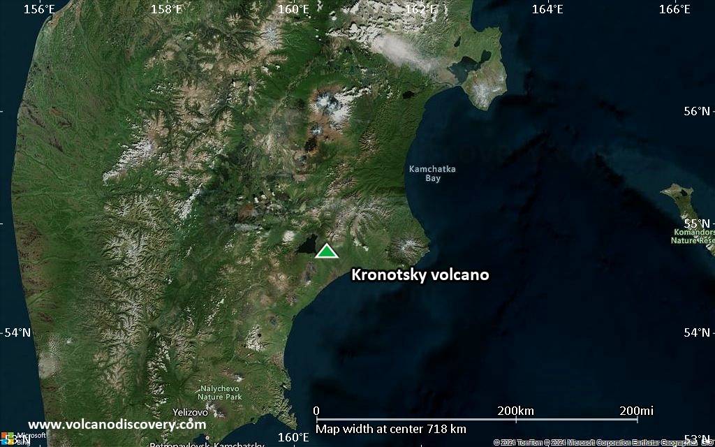
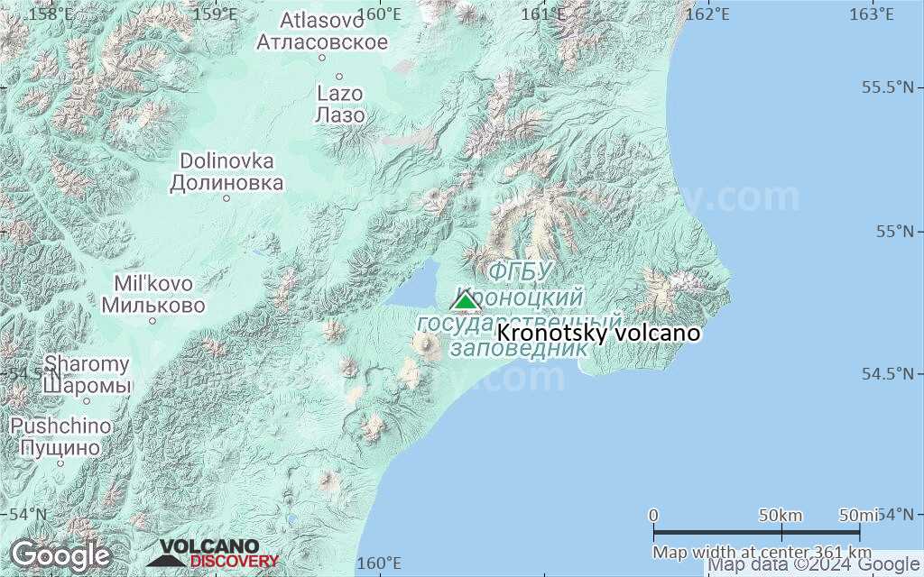
Satellite/aerial-type map of Kronotsky volcano (region scale medium)
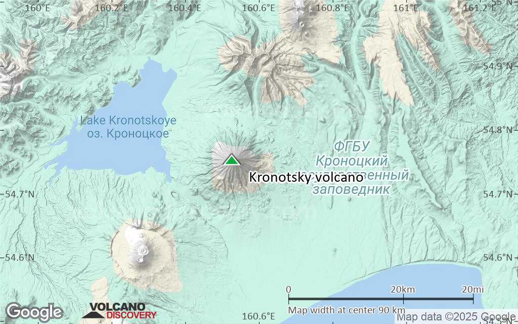
Terrain-type map of Kronotsky volcano (region scale medium)
Satellite/aerial-type map of Kronotsky volcano (region scale small)
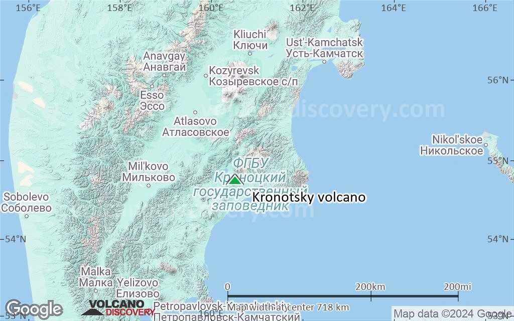
Terrain-type map of Kronotsky volcano (region scale small)
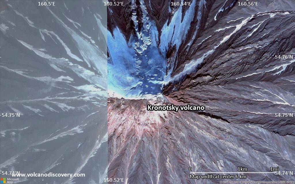
Satellite/aerial-type map of Kronotsky volcano (local scale large)
Terrain-type map of Kronotsky volcano (local scale large)
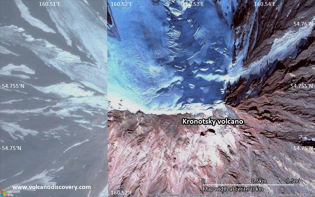
Satellite/aerial-type map of Kronotsky volcano (local scale medium)
Terrain-type map of Kronotsky volcano (local scale medium)
Satellite/aerial-type map of Kronotsky volcano (local scale small)
Terrain-type map of Kronotsky volcano (local scale small)
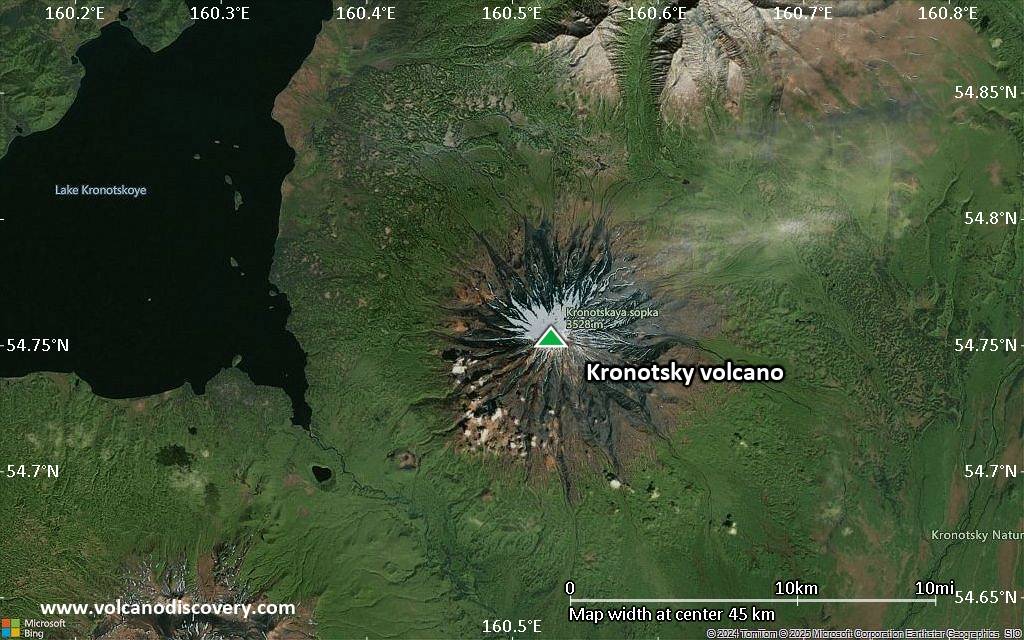
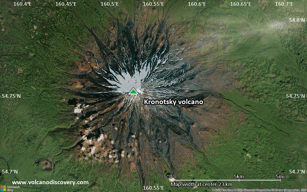
Satellite/aerial-type map of Kronotsky volcano (scale of 10s of km)

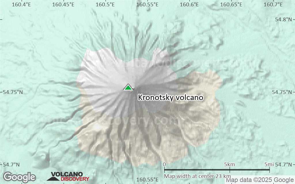
Terrain-type map of Kronotsky volcano (scale of 10s of km)
Satellite/aerial-type map of Kronotsky volcano (scale of 20-40 km)
Terrain-type map of Kronotsky volcano (scale of 20-40 km)
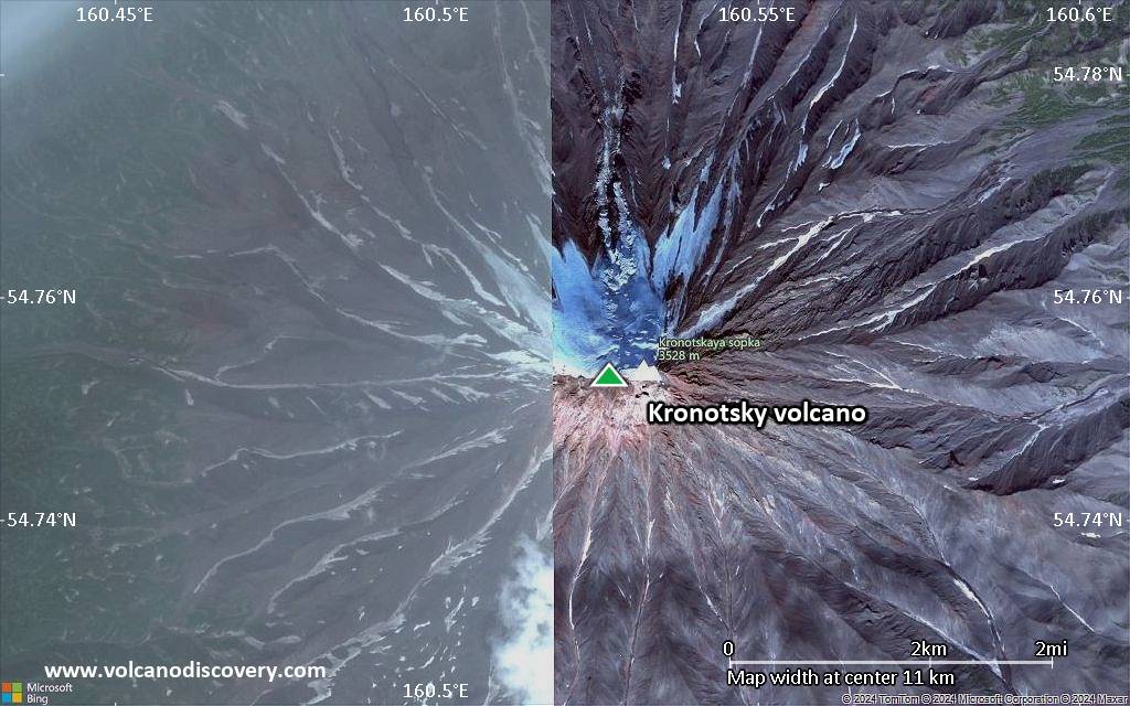
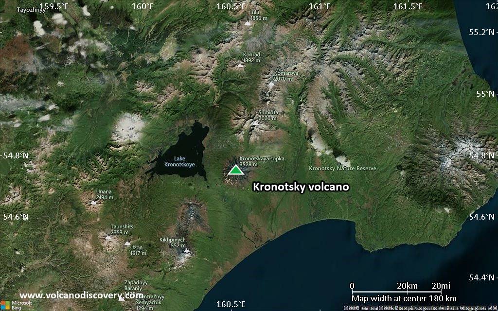
Satellite/aerial-type map of Kronotsky volcano (scale of approx. 10-20 km)
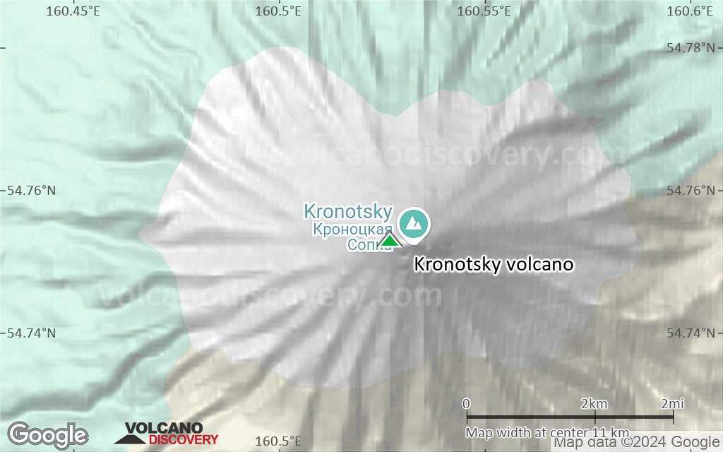
Terrain-type map of Kronotsky volcano (scale of approx. 10-20 km)
Satellite/aerial-type map of Kronotsky volcano (scale of 5-10 km)
Satellite/aerial-type map of Kronotsky volcano (scale of few kilometers)


