Kostakan Volcan
Updated: 26 avril. 2025 10:27 GMT -
Cinder cones
Kamchatka, Russia, 53.83°N / 158.05°E 
+Heure locale:
Lever du soleil:
Coucher du soleil:
Lever de lune:
Coucher de lune:
Summit height: 1150 m / 3,773 ft
Condition actuelle: normal / en sommeil (1 sur 5)
[smaller] [larger]
Eruptions du volcan Kostakan: 1350 (?)
Derniers séismes proches
| Date et l'heure | Mag / Prof. | Distance / Lieux | |||
|---|---|---|---|---|---|
Introduction
A N-S-trending chain of basaltic cinder cones lies south of Bakening volcano, west of the Srednaya Avacha (Middle Avacha) river valley. The Kostakan cone group is part of a broad zone of regional basaltic volcanism affecting areas west of the Eastern volcanic zone of Kamchatka. It extends from the Kostakan Lake area to the south and has been active from the late Pleistocene to Holocene. Several of the cinder cones are breached by lava flows, some of which extend into the Srednaya Avacha valley. The highest-elevation vent, 1150-m-high Zmeya crater, was constructed within a landslide scarp. An unnamed maar is located about 2 km south of Kostakan Lake. Eruptions have occurred during two time periods, between about 11,000 to 7000 years ago and between about 1200 and 600 years ago.---
Smithsonian / GVP volcano information
Éruptions volcaniques importantes: volcano Kostakan
No historic eruptions are known from Kostakan volcano, but evidence from at least 6 eruptions during the past 10,000 years can be found in the geological record.
The table below lists all known eruptions (date in bold face) of Kostakan volcano in historic times and during the past 10,000 years. Updates on the most recent volcanic activity of Kostakan can be found on the news page of Kostakan volcano.
| Date | Note | VEI | Morts | Dommages | |
|---|---|---|---|---|---|
| Glavny | 1? | inconnu | |||
| Glavny | 2 | inconnu | |||
| Serpovidny | 3 | inconnu | |||
| Maar S of Lake Kostakan, Krasny cone | 3 | inconnu | |||
| Ochkovy | 3 | inconnu | |||
| Domashnii | 3 | inconnu | |||
Remark:
Our list of volcanic eruptions closely follows the database of eruptions of the Smithsonian's Global Volcanism Project (GVP), the internationally most recognized data source for volcanic eruptions, but also includes significant eruptive episodes or related volcano events. "Volcanic eruptions" are usually to be understood as sequences of individual eruptive episodes that can follow each other, or even overlap (if several vents are involved), and can last many years, decades or even longer. For example, the current activity of Stromboli volcano is understood as a single eruption that has been ongoing since 1934.
Sources: NOAA National Centers for Environmental Information (NCEI), Global Significant Volcanic Eruptions Database. doi:10.7289/V5TD9V7K | Global Volcanism Project / Smithsonian Institution
Kostakan Volcano FAQ
+When was the last eruption of Kostakan volcano?
The last confirmed eruption of Kostakan occurred in 1350 AD.
+When was the largest eruption of Kostakan volcano?
The largest eruption known from the younger geological history of Kostakan volcano occurred around 1000 AD. It only has a VEI (Volcanic Explosivity Index) of , likely because it was a mainly effusive eruption generating lava flows but very little ash.
Dernières images satellite

Kostakan Volcan Cartes
Below is a selection of maps showing the location and surroundings of the volcano at various resolutions based on aerial-imagery / terrain maps. Feel free to use them for non-commercial purposes on your blog or website as long as you credit them with a link back to this page (click to copy it).
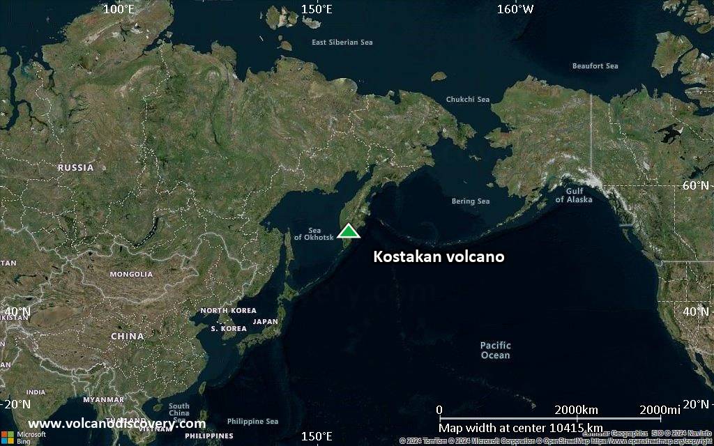
Satellite/aerial-type map of Kostakan volcano (world scale)

Terrain-type map of Kostakan volcano (world scale)

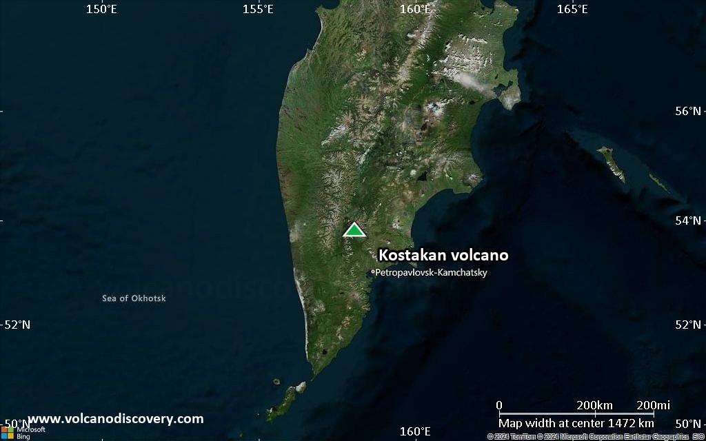
Satellite/aerial-type map of Kostakan volcano (region scale large)

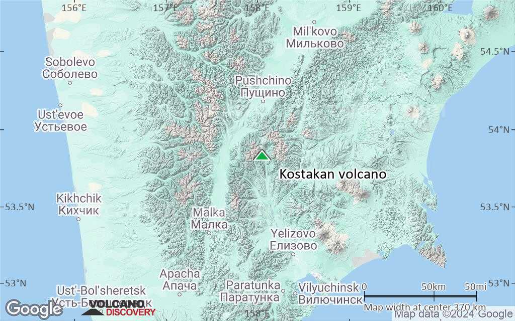
Terrain-type map of Kostakan volcano (region scale large)
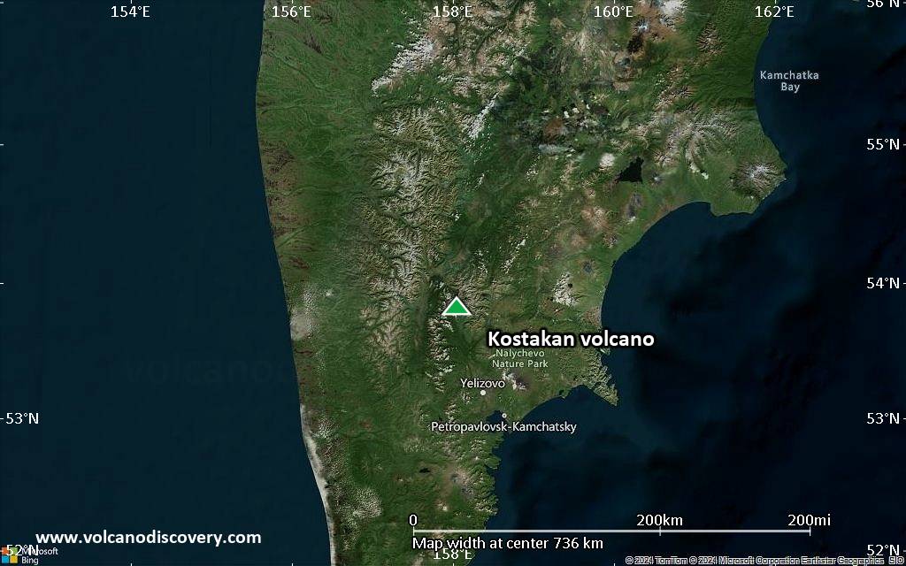
Satellite/aerial-type map of Kostakan volcano (region scale medium)

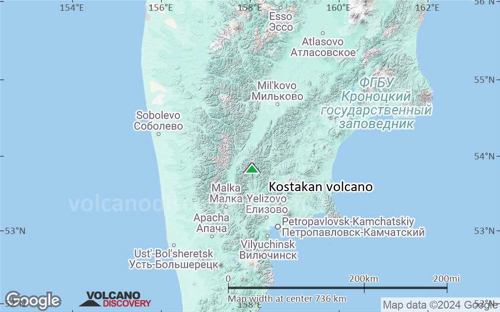
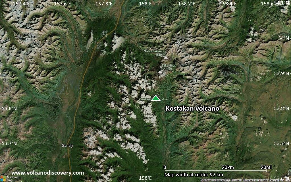
Terrain-type map of Kostakan volcano (region scale medium)
Satellite/aerial-type map of Kostakan volcano (region scale small)
Terrain-type map of Kostakan volcano (region scale small)

Satellite/aerial-type map of Kostakan volcano (local scale large)
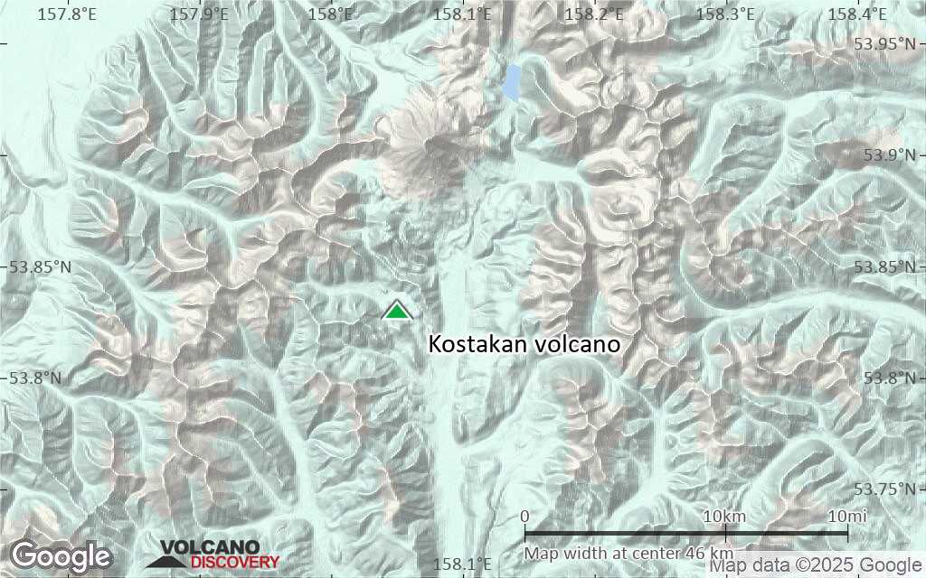
Terrain-type map of Kostakan volcano (local scale large)

Satellite/aerial-type map of Kostakan volcano (local scale medium)

Terrain-type map of Kostakan volcano (local scale medium)
Satellite/aerial-type map of Kostakan volcano (local scale small)

Terrain-type map of Kostakan volcano (local scale small)

Satellite/aerial-type map of Kostakan volcano (scale of 10s of km)
Terrain-type map of Kostakan volcano (scale of 10s of km)

Satellite/aerial-type map of Kostakan volcano (scale of 20-40 km)

Terrain-type map of Kostakan volcano (scale of 20-40 km)

Satellite/aerial-type map of Kostakan volcano (scale of approx. 10-20 km)

Terrain-type map of Kostakan volcano (scale of approx. 10-20 km)

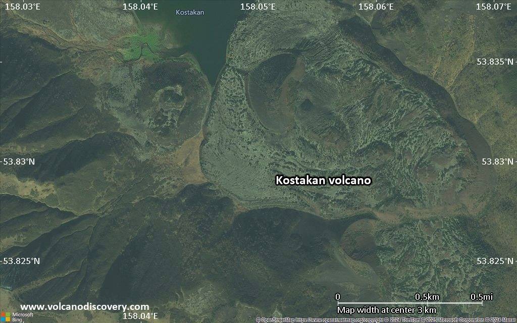
Satellite/aerial-type map of Kostakan volcano (scale of 5-10 km)
Satellite/aerial-type map of Kostakan volcano (scale of few kilometers)