


Kekurny Volcan
Updated: 26 avril. 2025 10:12 GMT -
Shield volcanoes
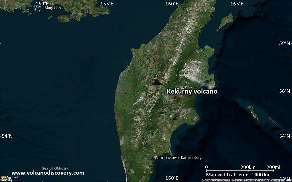
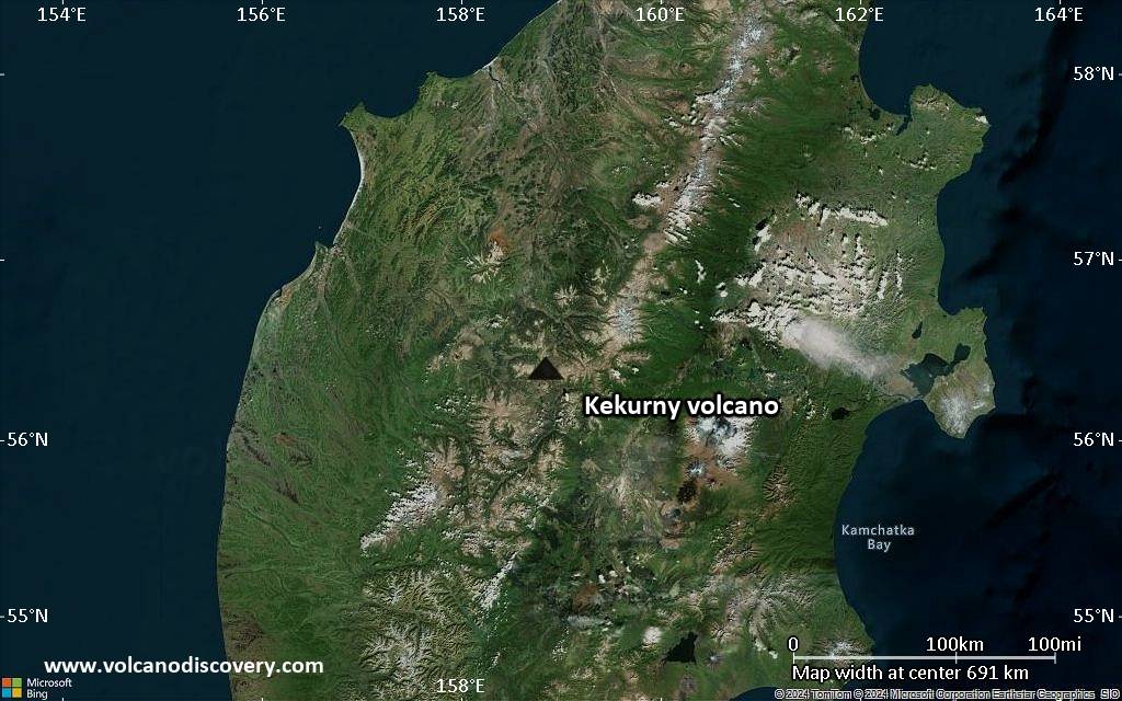
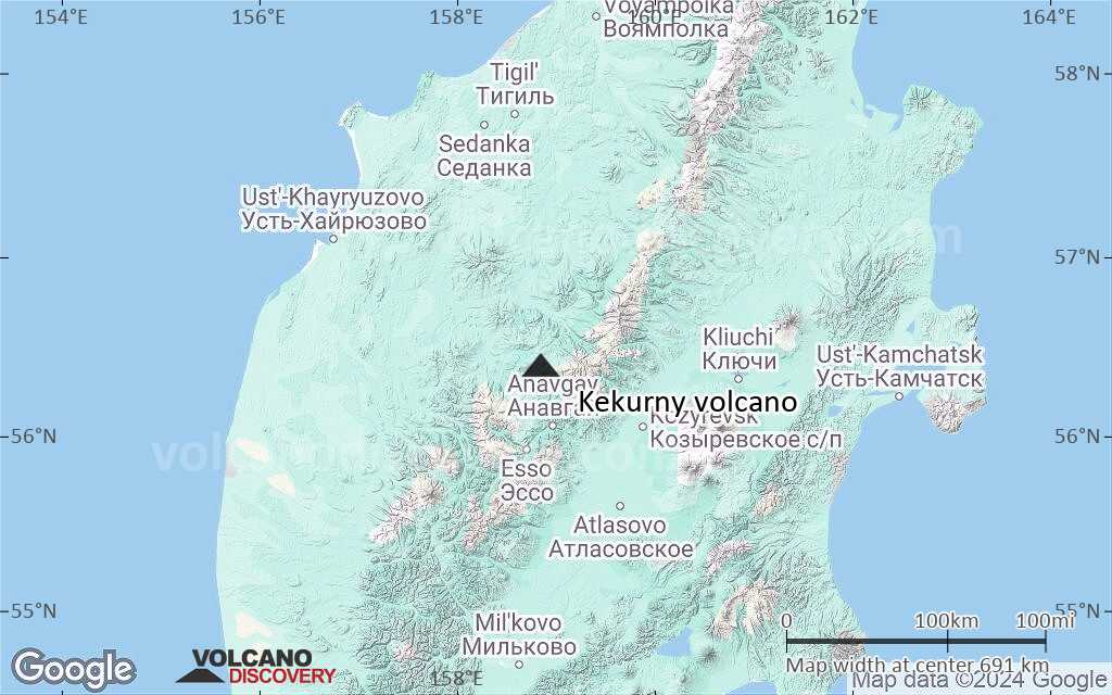
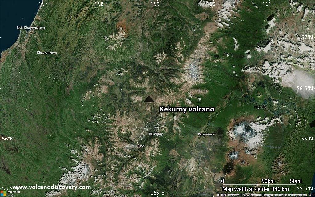
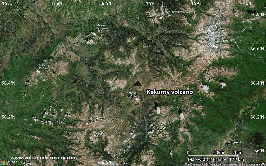
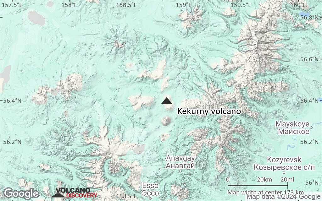
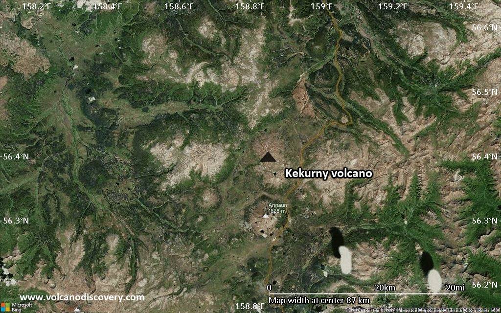
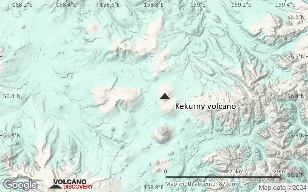
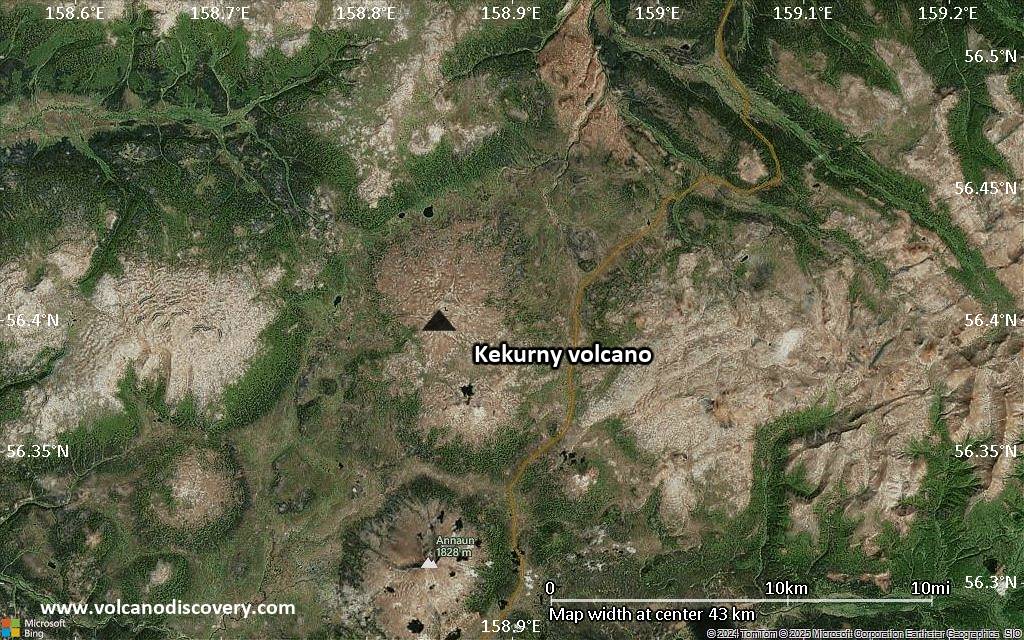
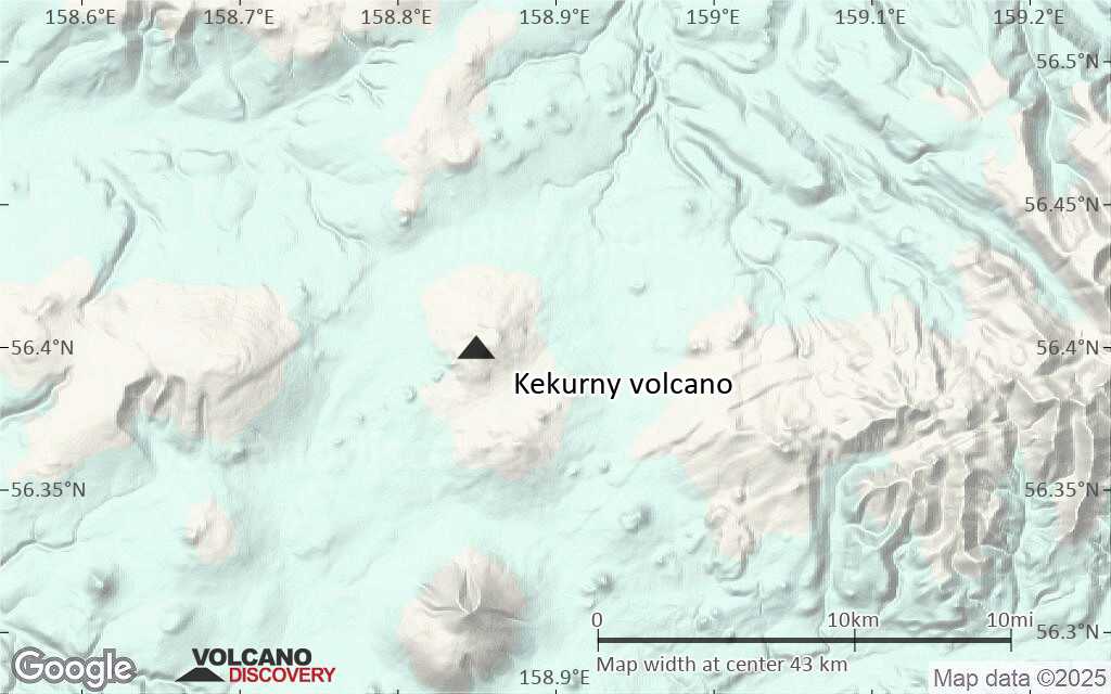
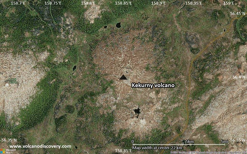
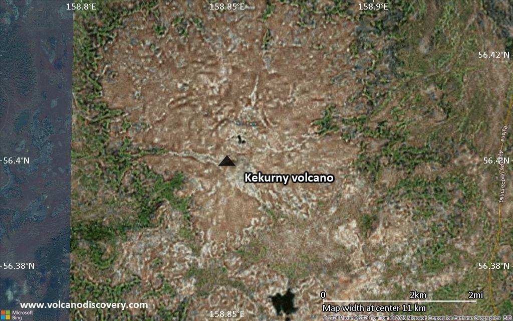
Kamchatka, Russia, 56.4°N / 158.85°E 
+Heure locale:
Lever du soleil:
Coucher du soleil:
Lever de lune:
Coucher de lune:
Summit height: 1377 m / 4,518 ft
Condition actuelle: (probablement) éteint (0 sur 5)
[smaller] [larger]
Eruptions du volcan Kekurny: unknown, no recent eruptions
Derniers séismes proches
| Date et l'heure | Mag / Prof. | Distance / Lieux | |||
|---|---|---|---|---|---|
Introduction
Kekurny is the northernmost of two overlapping small late-Quaternary Icelandic-type basaltic to basaltic-andesite shield volcanoes located north of Anaun volcano and west of Krainy volcano in the southern Sredinny Range. A chain of small cinder cones was constructed along a NE-SW-trending rift cutting across the 1377-m-high volcano. The 1336-m-high Bunanya shield volcano is located immediately to the south of Kekurny and has cinder cones on its NE flank. Early geologic studies in the Sredinny Range (Ogorodov et al., 1972) identified numerous Holocene eruptive centers based primarily on morphological criteria. However, later work has suggested that Sredinny Range volcanoes are less mantled by Holocene tephras than eastern Kamchatka volcanoes and therefore appear more youthful, so that Holocene eruptions are uncertain for many of these Sredinny Range eruptive vents.---
Smithsonian / GVP volcano information
Dernières images satellite
Kekurny Volcan Cartes
Below is a selection of maps showing the location and surroundings of the volcano at various resolutions based on aerial-imagery / terrain maps. Feel free to use them for non-commercial purposes on your blog or website as long as you credit them with a link back to this page (click to copy it).
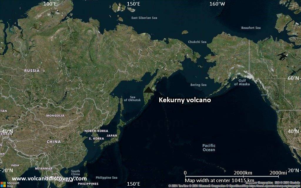
Satellite/aerial-type map of Kekurny volcano (world scale)
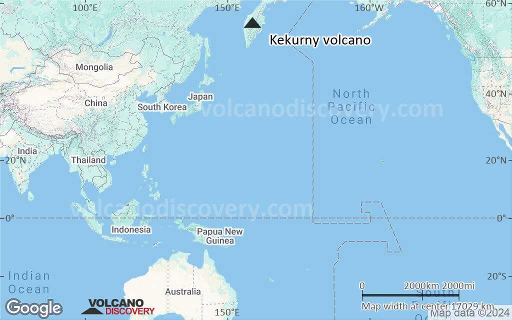
Terrain-type map of Kekurny volcano (world scale)

Satellite/aerial-type map of Kekurny volcano (region scale large)

Terrain-type map of Kekurny volcano (region scale large)
Satellite/aerial-type map of Kekurny volcano (region scale medium)

Terrain-type map of Kekurny volcano (region scale medium)
Satellite/aerial-type map of Kekurny volcano (region scale small)
Terrain-type map of Kekurny volcano (region scale small)
Satellite/aerial-type map of Kekurny volcano (local scale large)

Terrain-type map of Kekurny volcano (local scale large)
Satellite/aerial-type map of Kekurny volcano (local scale medium)
Terrain-type map of Kekurny volcano (local scale medium)
Satellite/aerial-type map of Kekurny volcano (local scale small)
Terrain-type map of Kekurny volcano (local scale small)
Satellite/aerial-type map of Kekurny volcano (scale of 10s of km)
Terrain-type map of Kekurny volcano (scale of 10s of km)
Satellite/aerial-type map of Kekurny volcano (scale of 20-40 km)

Terrain-type map of Kekurny volcano (scale of 20-40 km)
Satellite/aerial-type map of Kekurny volcano (scale of approx. 10-20 km)

Terrain-type map of Kekurny volcano (scale of approx. 10-20 km)
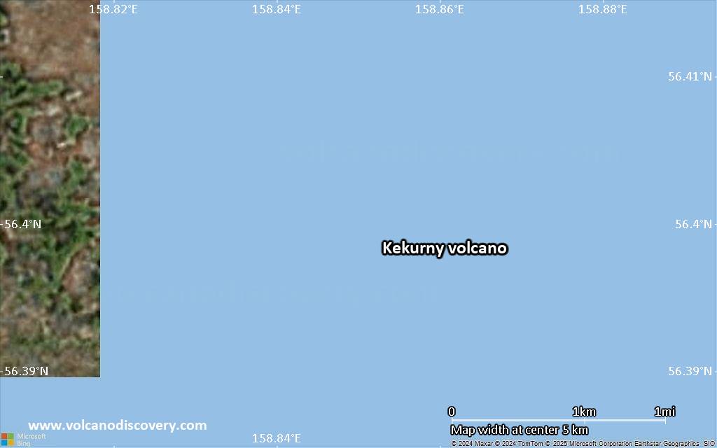
Satellite/aerial-type map of Kekurny volcano (scale of 5-10 km)

Satellite/aerial-type map of Kekurny volcano (scale of few kilometers)


