| RSS | EN | DE | EL | ES | FR | IT | RU

Erkeshan Volcan

Updated: 26 avril. 2025 10:37 GMT -
Pyroclastic cone(s)
China, 48.06°N / 126.26°E
Summit height: 416 m / 1365 ft
Condition actuelle: (probablement) éteint (0 sur 5)

[smaller] [larger]
Style éruptif tipique: unspecified
Eruptions du volcan Erkeshan: None during the past 10,000 years
Less than few million years ago (Pleistocene)

Derniers séismes proches

Date et l'heureMag / Prof.Distance / Lieux

Introduction

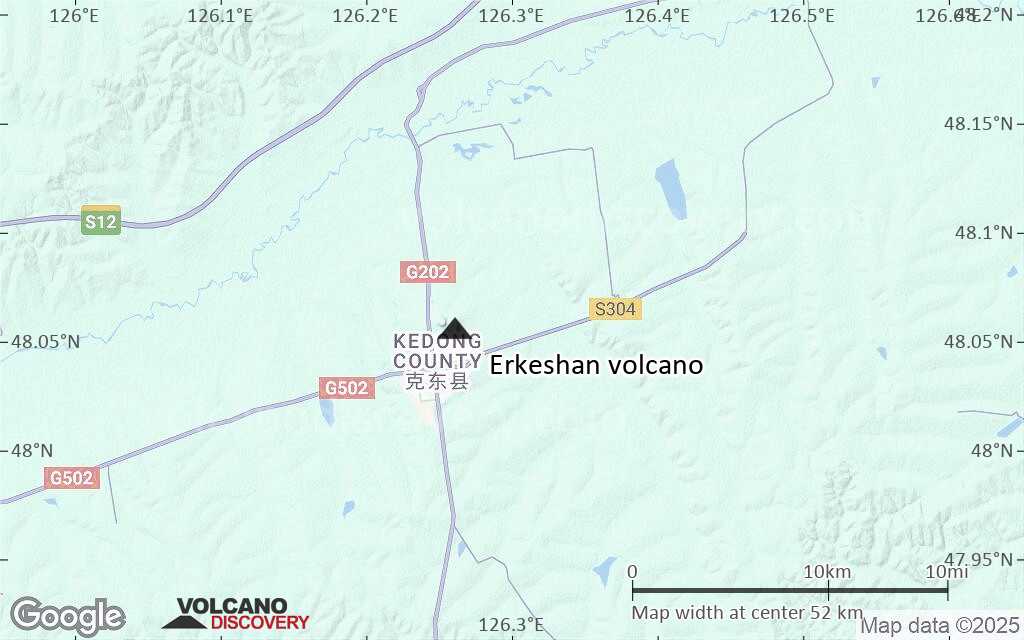
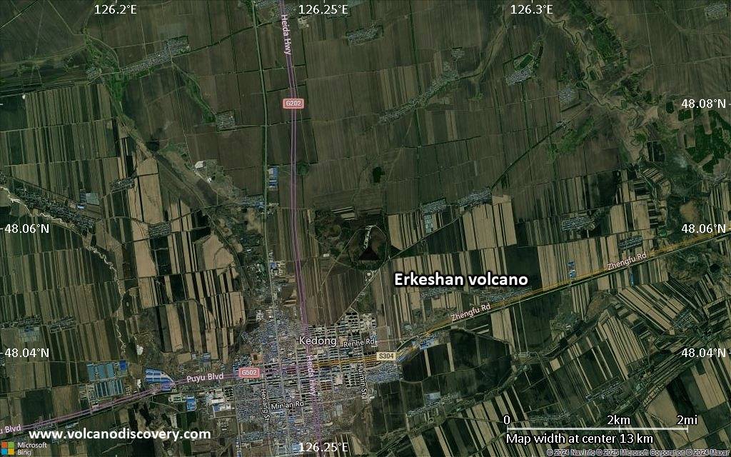
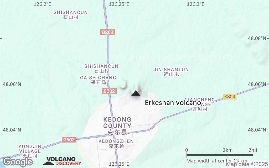
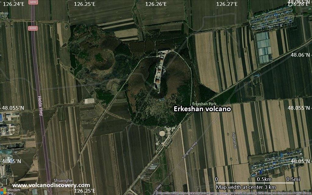
Two adjacent volcanic cones are located just NE of the city of Kedong in the Heilongjiang Province of far northeastern of China. The larger eastern cone is about 700 m in diameter, and the smaller western one is 600 m. A third circular feature about 200 m in diameter forms a very low (12 m high) hill about 1 km NW of the western cone. Zhao and others (2014) reported a date of 0.43 +/- 0.01 Ma for the north cone, and noted that Liu and others (2001) had dated the east cone at 0.563 +/- 0.133 Ma.
---
Source: Smithsonian / GVP volcano information

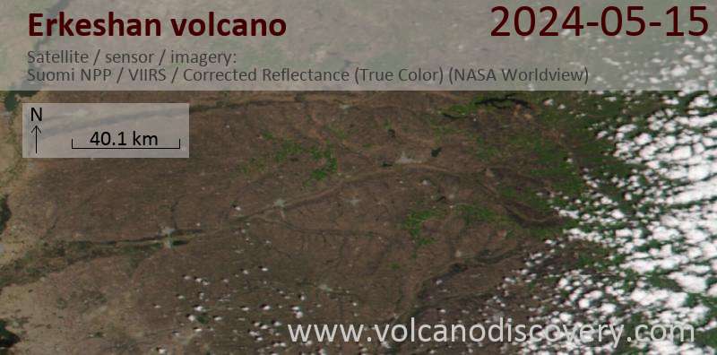
Dernières images satellite

erkeshan image satellite sat1erkeshan image satellite sat2

Erkeshan Volcan Cartes

Below is a selection of maps showing the location and surroundings of the volcano at various resolutions based on aerial-imagery / terrain maps. Feel free to use them for non-commercial purposes on your blog or website as long as you credit them with a link back to this page (click to copy it).
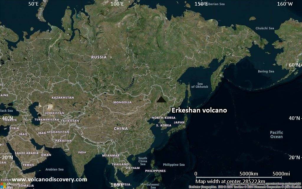
Satellite/aerial-type map of Erkeshan volcano (world scale)
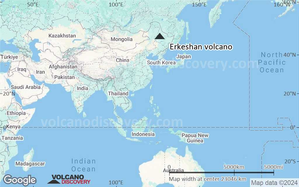
Terrain-type map of Erkeshan volcano (world scale)
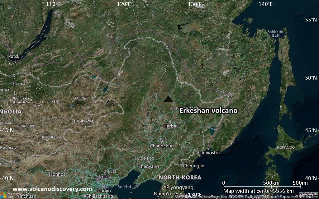
Satellite/aerial-type map of Erkeshan volcano (region scale large)
Terrain-type map of Erkeshan volcano (region scale large)
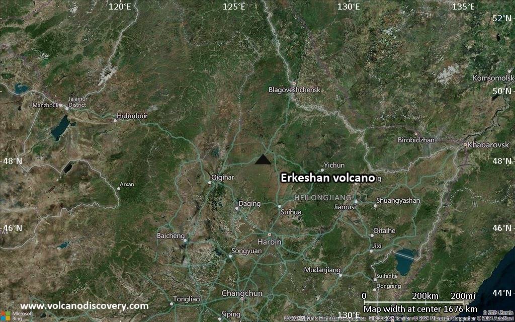
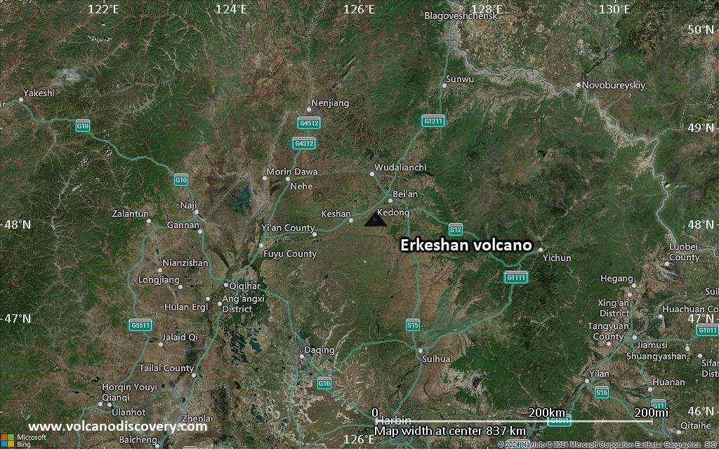
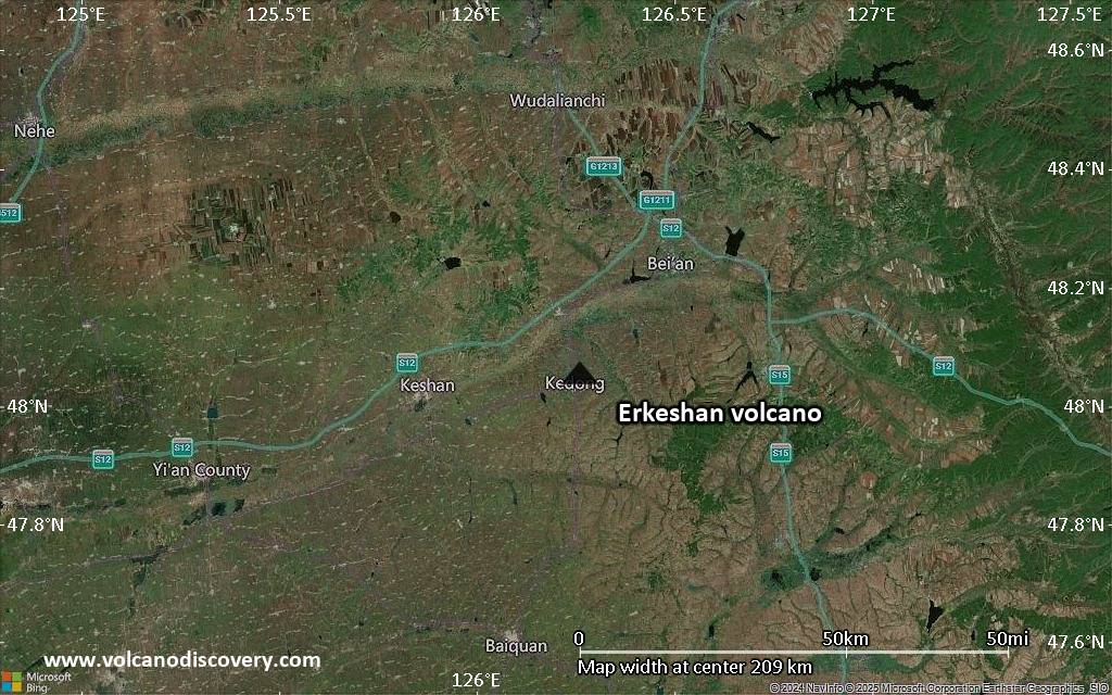
Satellite/aerial-type map of Erkeshan volcano (region scale medium)
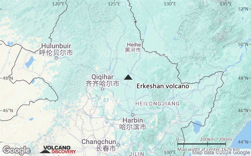
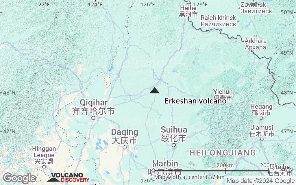
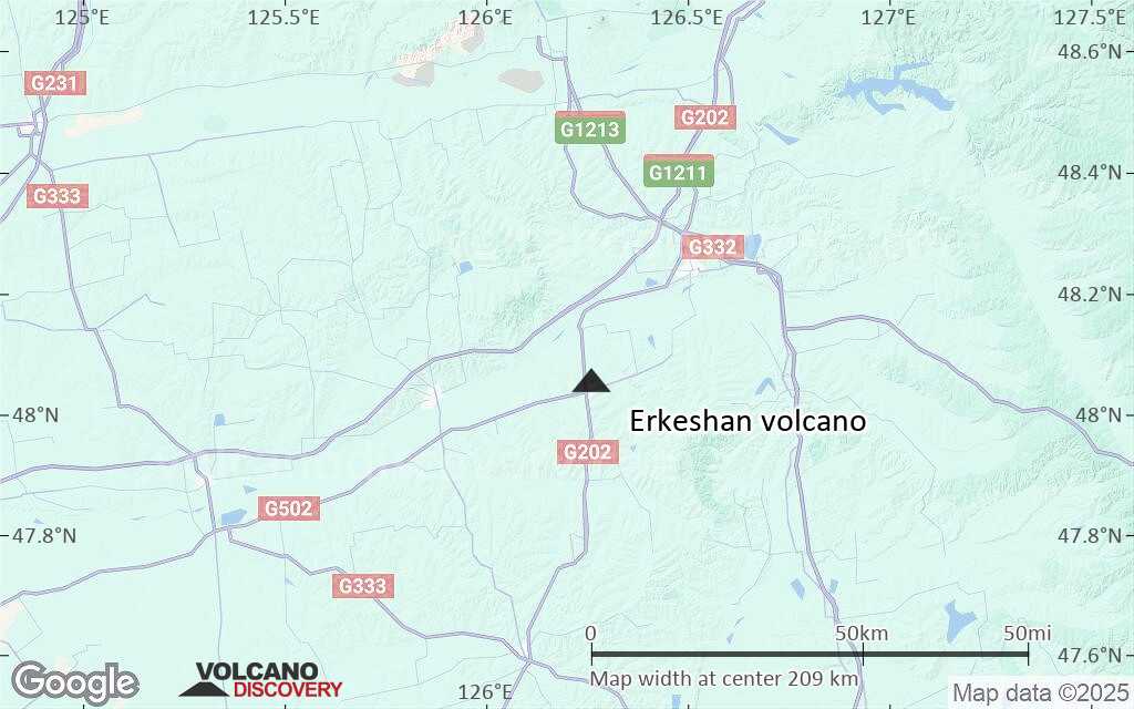
Terrain-type map of Erkeshan volcano (region scale medium)
Satellite/aerial-type map of Erkeshan volcano (region scale small)
Terrain-type map of Erkeshan volcano (region scale small)
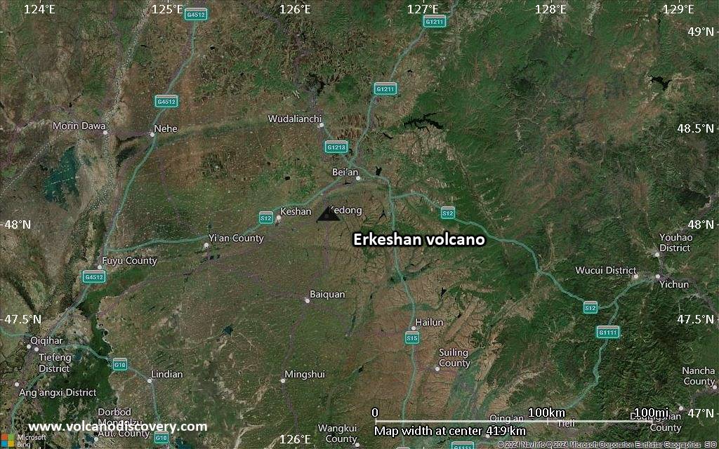
Satellite/aerial-type map of Erkeshan volcano (local scale large)
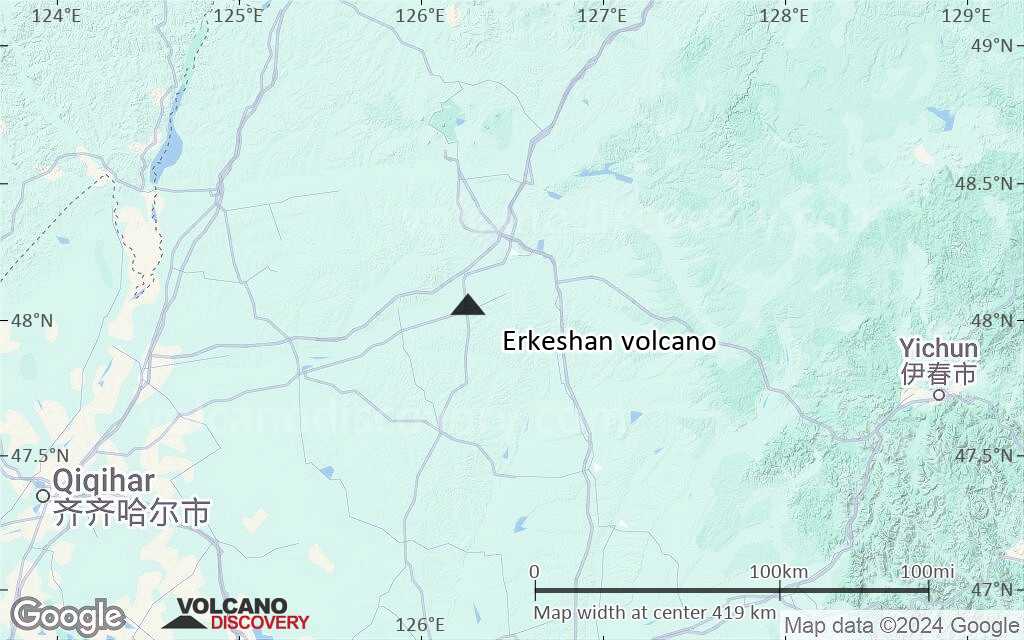
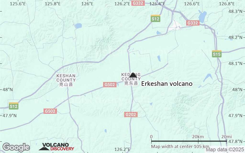
Terrain-type map of Erkeshan volcano (local scale large)
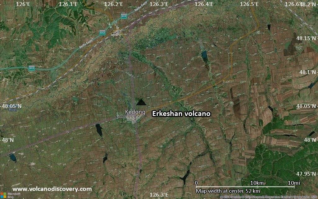
Satellite/aerial-type map of Erkeshan volcano (local scale medium)
Terrain-type map of Erkeshan volcano (local scale medium)
Satellite/aerial-type map of Erkeshan volcano (local scale small)
Terrain-type map of Erkeshan volcano (local scale small)
Satellite/aerial-type map of Erkeshan volcano (scale of 10s of km)
Terrain-type map of Erkeshan volcano (scale of 10s of km)
Satellite/aerial-type map of Erkeshan volcano (scale of 20-40 km)
Terrain-type map of Erkeshan volcano (scale of 20-40 km)
Satellite/aerial-type map of Erkeshan volcano (scale of approx. 10-20 km)
Terrain-type map of Erkeshan volcano (scale of approx. 10-20 km)
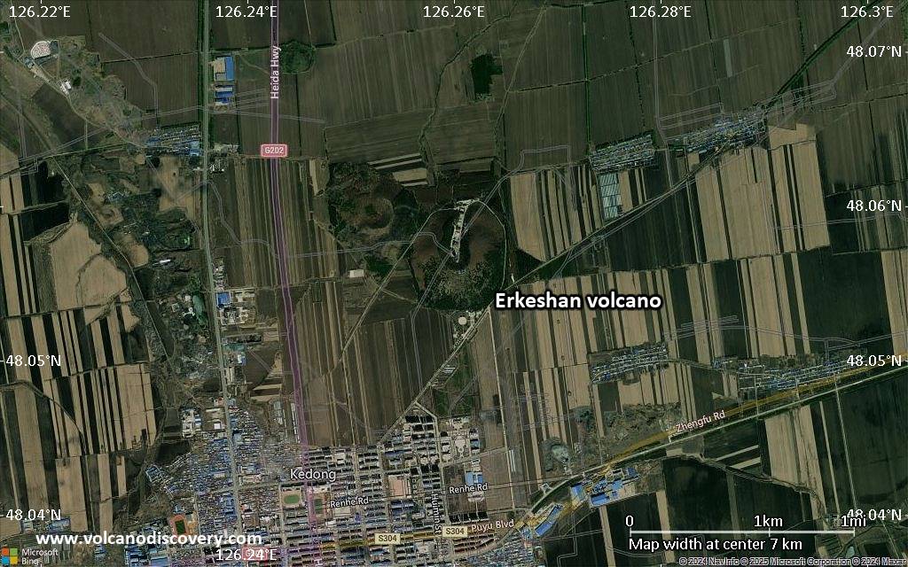
Satellite/aerial-type map of Erkeshan volcano (scale of 5-10 km)
Satellite/aerial-type map of Erkeshan volcano (scale of few kilometers)
Volcanoes & Earthquakes - new app for Android
News

No news in this list.

Sur cette page:

Try our free app!
Volcanoes & Earthquakes - new app for Android
Android | iOS version

More on VolcanoDiscovery

Why is there advertising on this site?

Support us - Help us upgrade our services!

We truly love working to bring you the latest volcano and earthquake data from around the world. Maintaining our website and our free apps does require, however, considerable time and resources.
We need financing to increase hard- and software capacity as well as support our editor team. We're aiming to achieve uninterrupted service wherever an earthquake or volcano eruption unfolds, and your donations can make it happen! Every donation will be highly appreciated. If you find the information useful and would like to support our team in integrating further features, write great content, and in upgrading our soft- and hardware, please make a donation (PayPal).

Planned features:Thanks to your past donations, these features have been added recently:
Download and Upgrade the Volcanoes & Earthquakes app to get one of the fastest seismic and volcano alerts online:
Android | IOS
Thank you!
Copyright: VolcanoDiscovery ou autres sources indiquées.
Utilisation des documents: Les textes, les images et les vidéos de ce site internet sont protégées par copyright. Toute reproduction et tout usage sans accord préalable ne sont pas autorisés. Si vous désirez acquérir pour certains documents (photos, vidéos, textes ou autres) le droit de reproduction, d'édition et, plus généralement, de toute utilisation destinée à un usage public, qu'elle soit commerciale ou pas, vous êtes priés de nous contacter.
Volcanoes & Earthquakes
VolcanoDiscovery Home
Volcans | Séismes | Photos | Actualités | | Shop | App
Adventure & Study Travel
Tours to Volcanoes and Volcanic Areas: walking tours, photo tours, study tours
Voyages |
Get our newsletter!
Company info
Contact | Mentions légales | Terms & conditions
Follow us
Follow us on facebook Follow us on Instagram Follow us on Bluesky Follow us on Twitter Visit our Youtube channel
EN | DE | EL | ES | FR | IT | RU
VolcanoDiscovery GmbH, Germany, Reg. nr.: HRB 103744, EU Tax Id: DE 297 465 123 owned and created by
Dr. Tom Pfeiffer, volcanologist, volcano photographer, tour organizer member of
IAVCEI
IAVCEI
Vulkanologische Gesellschaft
Volcanological Society
Ecotourism Greece
Ecotourism Greece
RUV insurance
Insured by R+V
VolcanoDiscovery © 2004- All Rights Reserved | Privacy - Changer Préférences