


Erciyes Dagi Volcano
Updated: Apr 17, 2025 23:58 GMT -
stratovolcano
Turkey, 38.53°N / 35.45°E 
Summit height: 3916 m
Current status: normal or dormant (1 out of 5)
Erciyes Dağ or Erciyes Dagi volcano is a massive, eroded stratovolcano that dominates the northern end of the Sultansazligi Basin in central Anatolia. It covers an area of about 1300 sq km.
[smaller] [larger]
Erciyes Dagi volcano eruptions: probably in historic times
Latest nearby earthquakes
| Date and Time | Mag / Depth | Distance / Location | |||
|---|---|---|---|---|---|
Background
The growth of the modern volcano began about 0.9 million years ago, following Pliocene caldera collapse of the Kocdag complex. Numerous parasitic cones and lava domes are found mostly on the north flank of the modern edifice, many along radial fissures. The youngest dated rock was from an 83,000-year-old dacitic lava flow, but rhyodacitic eruptions and lava dome growth occurred later at the Perikartin dome. The latest documented event is an edifice-collapse that produced a large debris avalanche that extended to the east. Uncertainty remains regarding reported historical eruptions of Erciyes Dagi and their possible depiction on Roman Cappadocian coins. Historical counts possibly referring to eruptions could also be attributed to methane releases from a swamp in the Sultansazligi Basin.Erciyes Dagi Volcano Photos
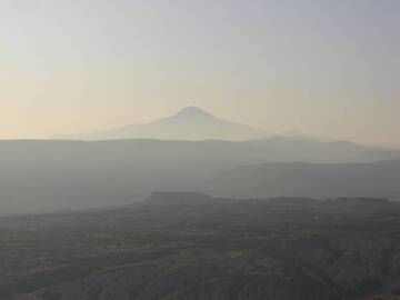
Volcano Erciyes Dagi at dawn, Cappadocia, Central Anatolia, Turkey (Photo: WNomad)
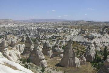
view from Göreme/Cappadocia to Volcano Erciyes Dagi, Kayseri Province, Central Anatolia, turkey (Photo: WNomad)
Significant volcanic eruptions: Erciyes Dagi volcano
No historic eruptions are known from Erciyes Dagi volcano, but at least one eruption around 6880 BC can be inferred from geological evidence.
There is one uncertain or discredited eruption in 253 AD from Erciyes Dagi volcano.
There is one uncertain or discredited eruption in 253 AD from Erciyes Dagi volcano.
The table below lists all known eruptions (date in bold face) of Erciyes Dagi volcano in historic times and during the past 10,000 years. Updates on the most recent volcanic activity of Erciyes Dagi can be found on the news page of Erciyes Dagi volcano.
| Date | Note | VEI | Deaths | Damage | |
|---|---|---|---|---|---|
?? | Uncertain Eruption | ? | |||
| ? | |||||
Remark:
Our list of volcanic eruptions closely follows the database of eruptions of the Smithsonian's Global Volcanism Project (GVP), the internationally most recognized data source for volcanic eruptions, but also includes significant eruptive episodes or related volcano events. "Volcanic eruptions" are usually to be understood as sequences of individual eruptive episodes that can follow each other, or even overlap (if several vents are involved), and can last many years, decades or even longer. For example, the current activity of Stromboli volcano is understood as a single eruption that has been ongoing since 1934.
Sources: NOAA National Centers for Environmental Information (NCEI), Global Significant Volcanic Eruptions Database. doi:10.7289/V5TD9V7K | Global Volcanism Project / Smithsonian Institution
Erciyes Dagi Volcano FAQ
+When was the last eruption of Erciyes Dagi volcano?
The last confirmed eruption of Erciyes Dagi occurred around 6880 BC.
Latest satellite images
Erciyes Dagi Volcano Maps
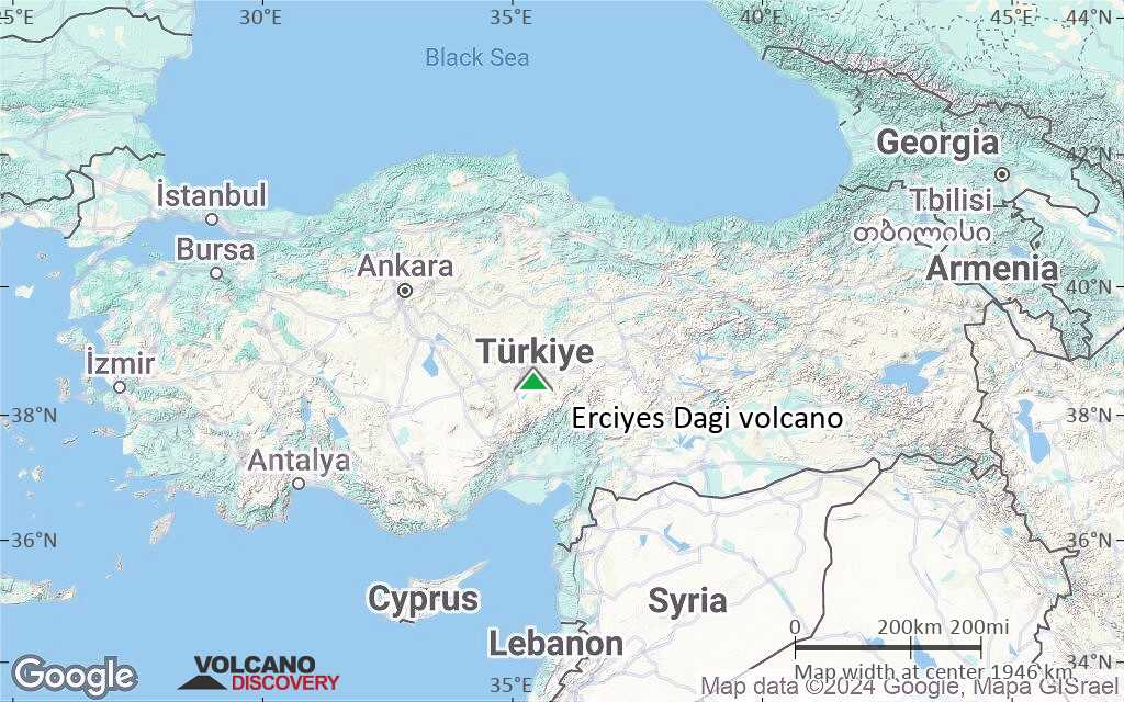
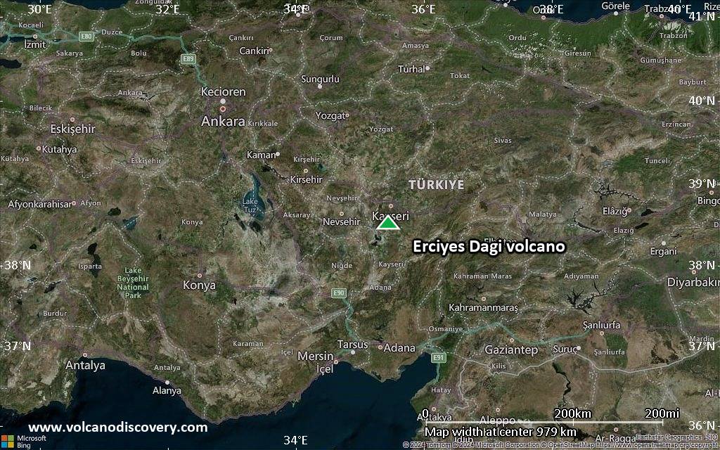
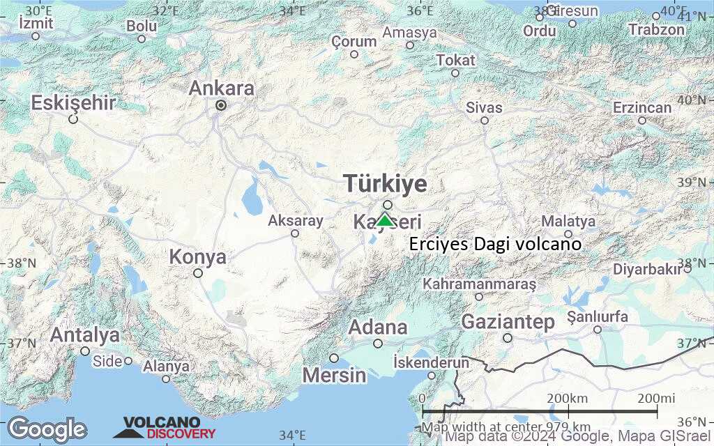
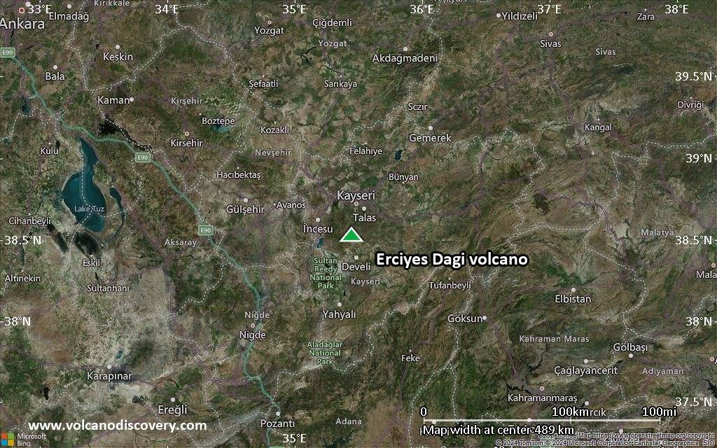
Below is a selection of maps showing the location and surroundings of the volcano at various resolutions based on aerial-imagery / terrain maps. Feel free to use them for non-commercial purposes on your blog or website as long as you credit them with a link back to this page (click to copy it).

Satellite/aerial-type map of Erciyes Dagi volcano (world scale)
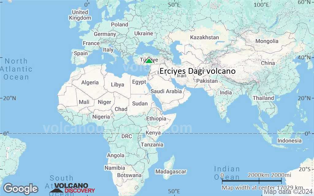
Terrain-type map of Erciyes Dagi volcano (world scale)
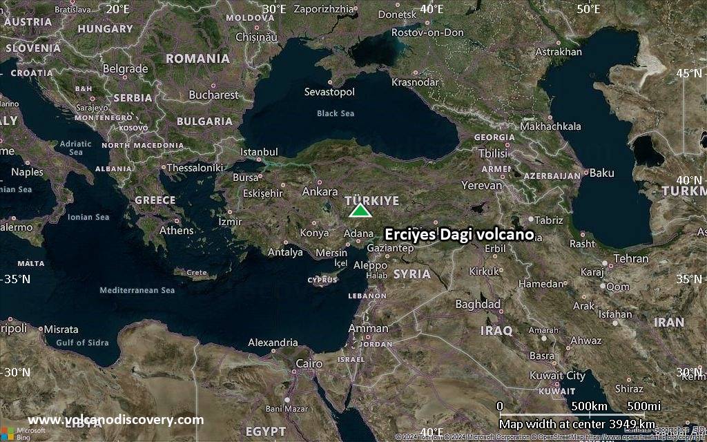
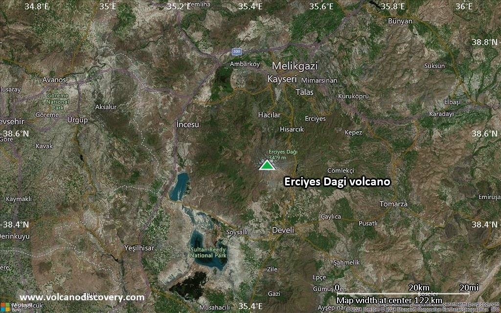
Satellite/aerial-type map of Erciyes Dagi volcano (region scale large)
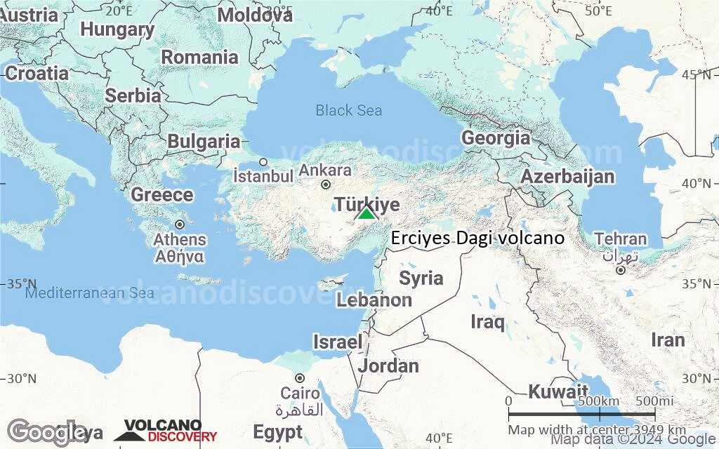
Terrain-type map of Erciyes Dagi volcano (region scale large)
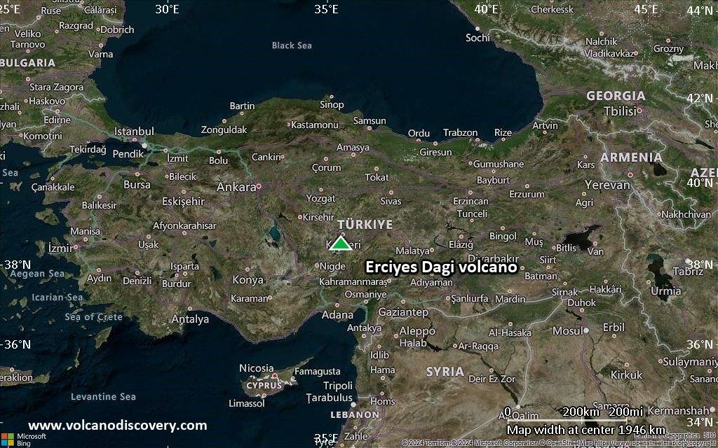
Satellite/aerial-type map of Erciyes Dagi volcano (region scale medium)
Terrain-type map of Erciyes Dagi volcano (region scale medium)
Satellite/aerial-type map of Erciyes Dagi volcano (region scale small)
Terrain-type map of Erciyes Dagi volcano (region scale small)
Satellite/aerial-type map of Erciyes Dagi volcano (local scale large)

Terrain-type map of Erciyes Dagi volcano (local scale large)

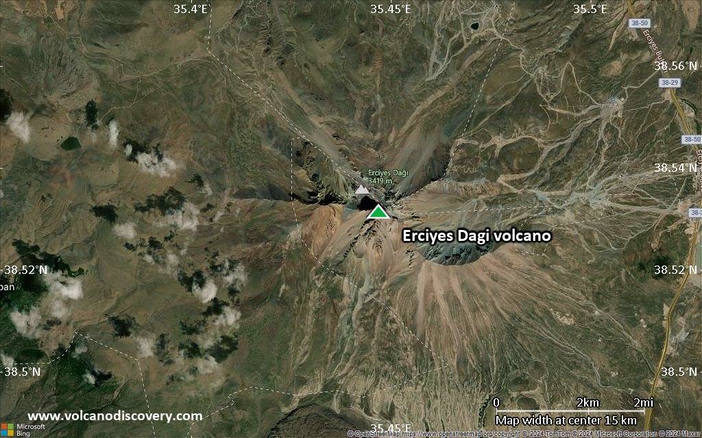
Satellite/aerial-type map of Erciyes Dagi volcano (local scale medium)

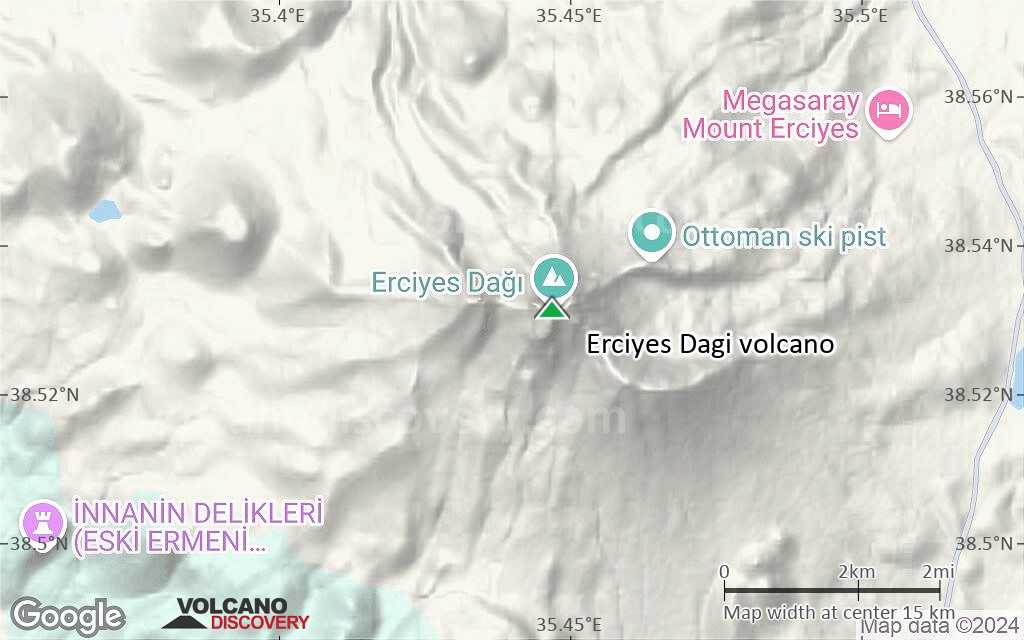
Terrain-type map of Erciyes Dagi volcano (local scale medium)
Satellite/aerial-type map of Erciyes Dagi volcano (local scale small)

Terrain-type map of Erciyes Dagi volcano (local scale small)

Satellite/aerial-type map of Erciyes Dagi volcano (scale of 10s of km)

Terrain-type map of Erciyes Dagi volcano (scale of 10s of km)

Satellite/aerial-type map of Erciyes Dagi volcano (scale of 20-40 km)

Terrain-type map of Erciyes Dagi volcano (scale of 20-40 km)
Satellite/aerial-type map of Erciyes Dagi volcano (scale of approx. 10-20 km)
Terrain-type map of Erciyes Dagi volcano (scale of approx. 10-20 km)

Satellite/aerial-type map of Erciyes Dagi volcano (scale of 5-10 km)
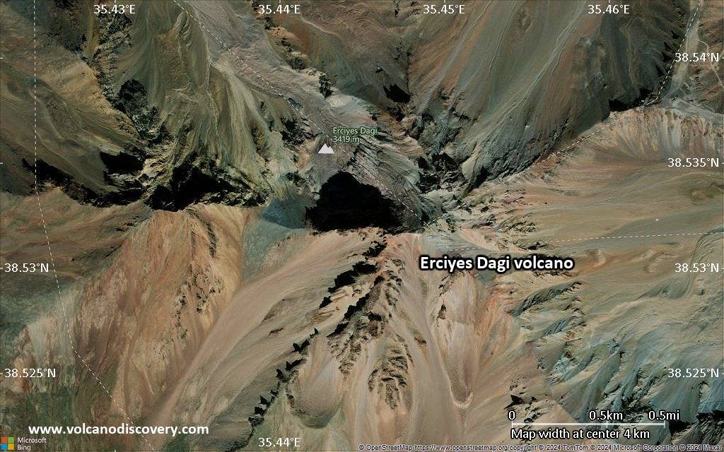
Satellite/aerial-type map of Erciyes Dagi volcano (scale of few kilometers)


