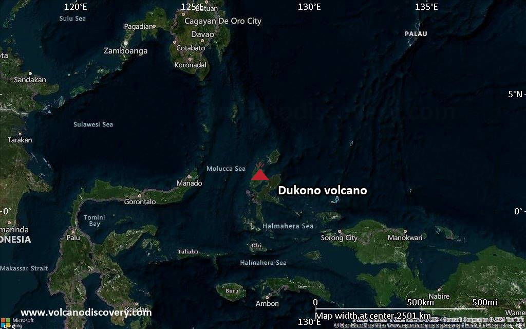
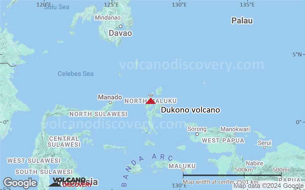
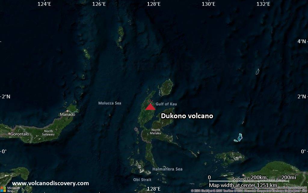
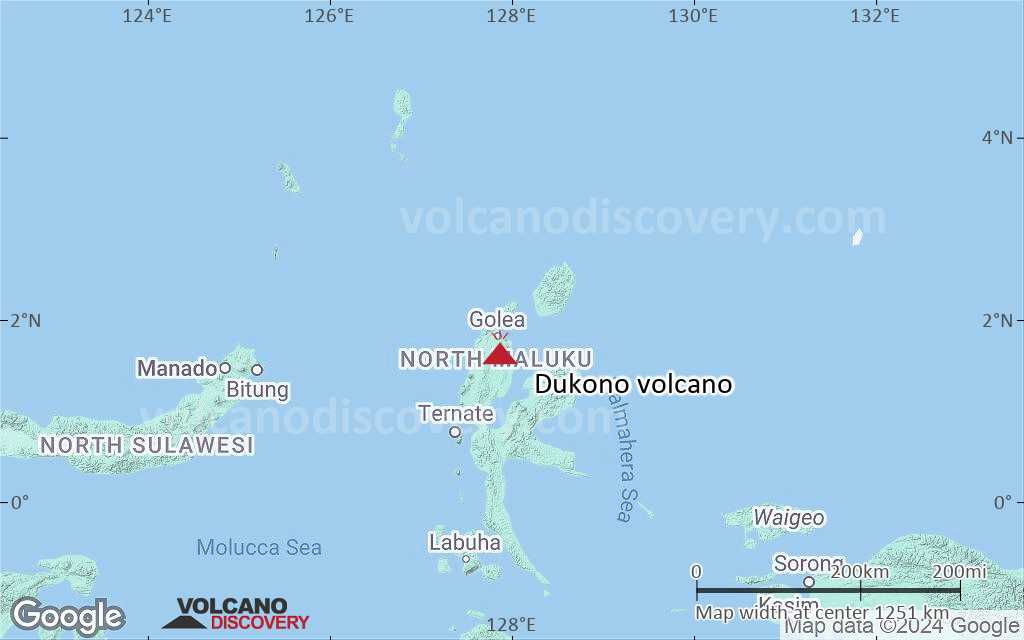
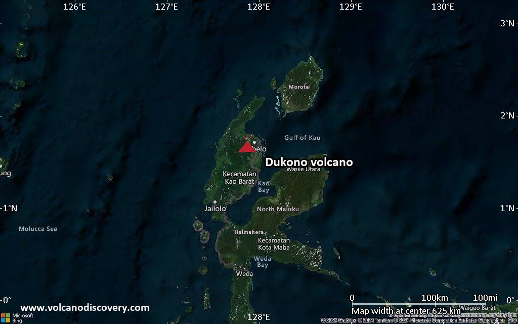
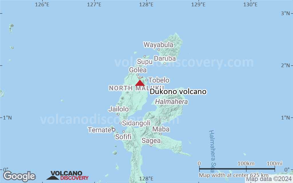
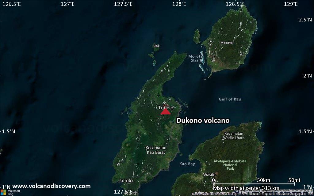
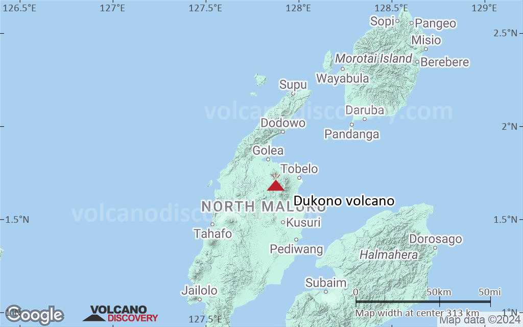
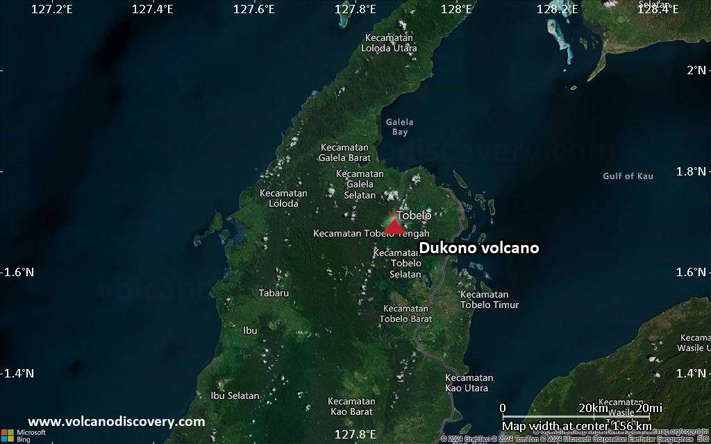
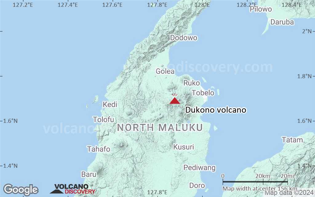
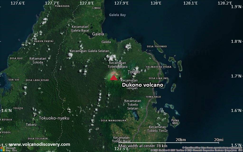
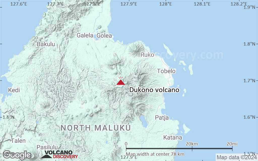
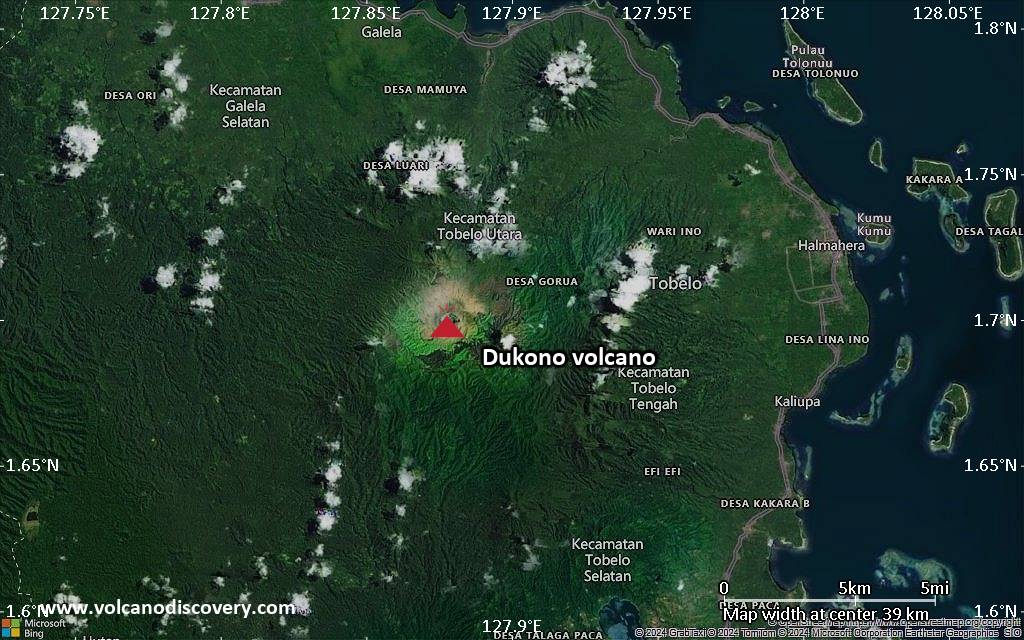
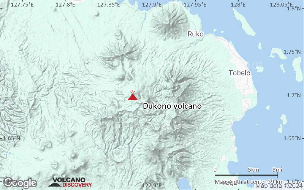
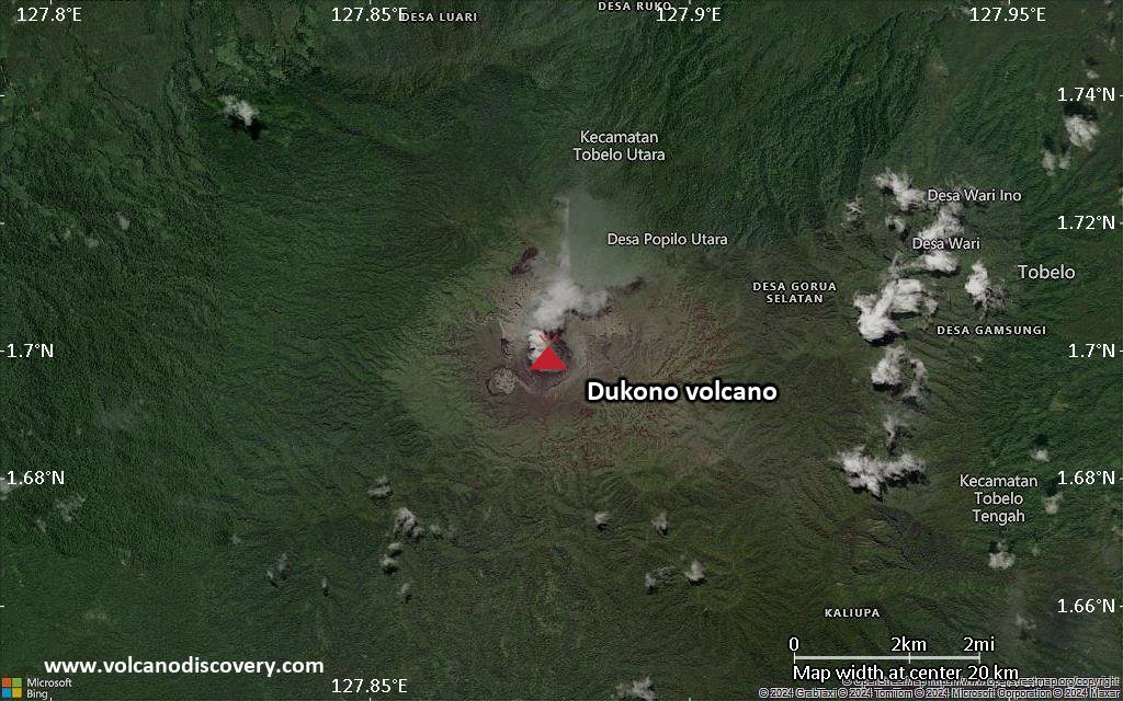
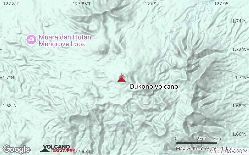
| RSS | EN | DE | EL | ES | FR | IT | RU

Dukono Volcano

Updated: Apr 11, 2025 20:23 GMT -
Complex volcano
Halmahera (Indonesia), 1.7°N / 127.88°E
Summit height: 1185 m (3,888 ft)
Current status: erupting (4 out of 5)
Last update: 11 Apr 2025 (Volcanic Ash Advisory)
Ash emission from Dukono volcano

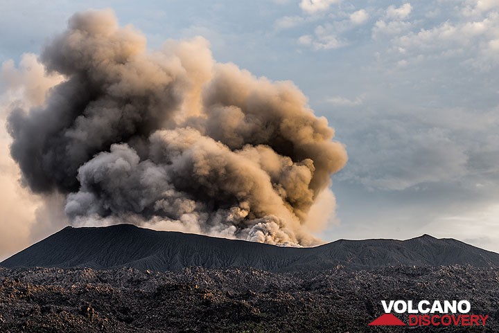
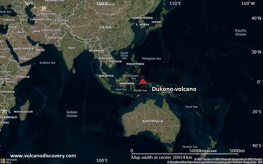
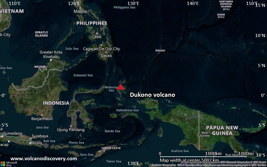
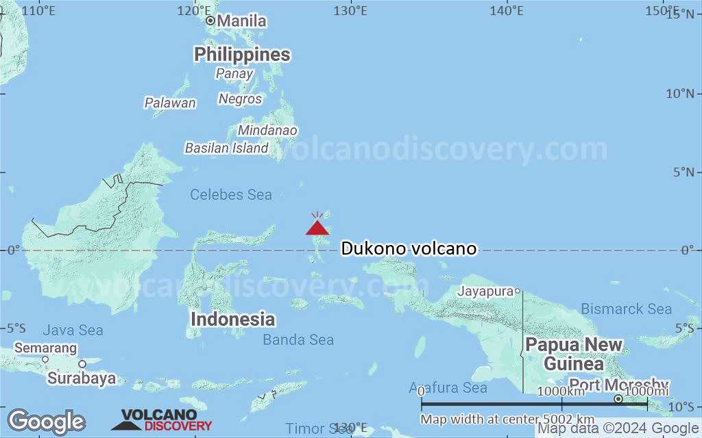
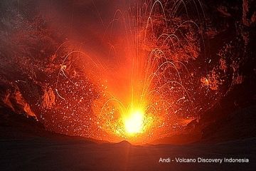
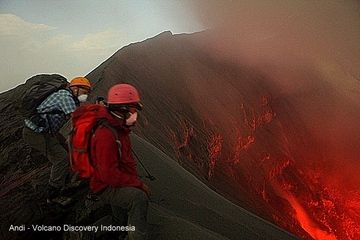
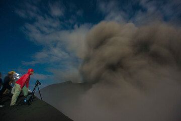
Dukono is a remote volcano on the island of Halmahera (Indonesia). There is not much information available due to its remote position, but Dukono is one of the world's most active volcanoes and has been in persistent activity since 1933.

[smaller] [larger]
Typical eruption style: Explosive and effusive (lava flows)
Dukono volcano eruptions: 1933-ongoing (as of 2014), 1868(?), 1719, 1550

Latest nearby earthquakes

Date and TimeMag / DepthDistance / Location

Background

During a major eruption in 1550, a lava flow filled in the strait between Halmahera and the north-flank cone of Gunung Mamuya. Fatalities occured during that eruption, too.
Dukono is a complex volcano with a broad, low profile, multiple summit peaks and overlapping craters. Malupang Wariang, 1 km SW of Dukono's summit crater complex, contains a 700 x 570 m crater that has also been active during historical time.
---
Source: GVP, Smithsonian Institution

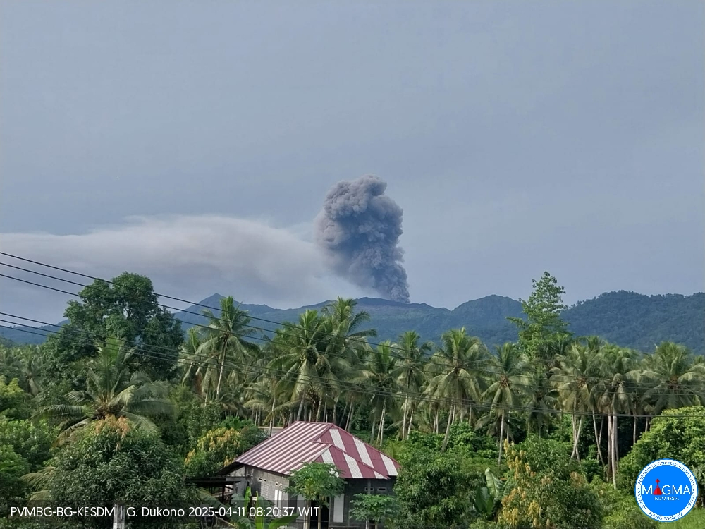
Dukono Volcano Photos

Significant volcanic eruptions: Dukono volcano

In the past 10,000 years, Dukono has had at least 5 confirmed eruptions, all documented by historical records or observations.
The table below lists all known eruptions (date in bold face) of Dukono volcano in historic times and during the past 10,000 years. Updates on the most recent volcanic activity of Dukono can be found on the news page of Dukono volcano.
DateNoteVEIDeathsDamage
1933 Aug 13 - ongoingMalupang Magiwe and Malupang Warirang
Historical obs./docs.
3
1901
Historical obs./docs.
2
1868 ?
Historical obs./docs.
2
1719 ±150 y.East flank of Tolo
Historical obs./docs.
?
1550 AD Nov 20 ±20 d.
Historical obs./docs.
3
1550 AD Nov
(eruption 1550 AD Nov 20 ±20 d.)
Historical obs./docs.
31-50 (*)
Info
(*) Estimated numbers
Remark:
Our list of volcanic eruptions closely follows the database of eruptions of the Smithsonian's Global Volcanism Project (GVP), the internationally most recognized data source for volcanic eruptions, but also includes significant eruptive episodes or related volcano events. "Volcanic eruptions" are usually to be understood as sequences of individual eruptive episodes that can follow each other, or even overlap (if several vents are involved), and can last many years, decades or even longer. For example, the current activity of Stromboli volcano is understood as a single eruption that has been ongoing since 1934.
Sources: NOAA National Centers for Environmental Information (NCEI), Global Significant Volcanic Eruptions Database. doi:10.7289/V5TD9V7K | Global Volcanism Project / Smithsonian Institution

Dukono Volcano FAQ

+When was the last eruption of Dukono volcano?

+How often does Dukono volcano erupt?

+How active is Dukono volcano at present?

+When was the largest eruption of Dukono volcano?

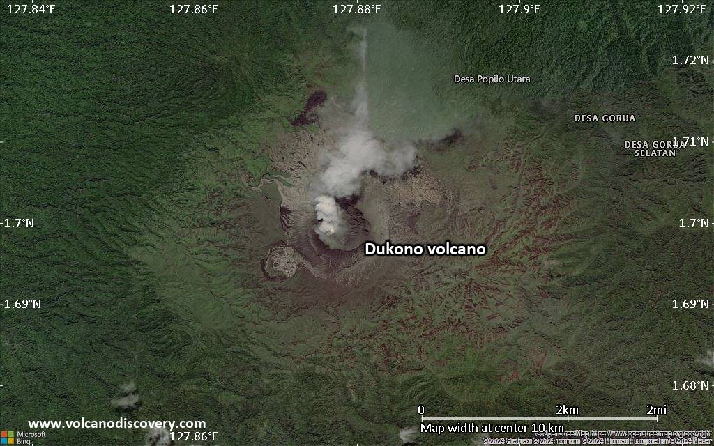
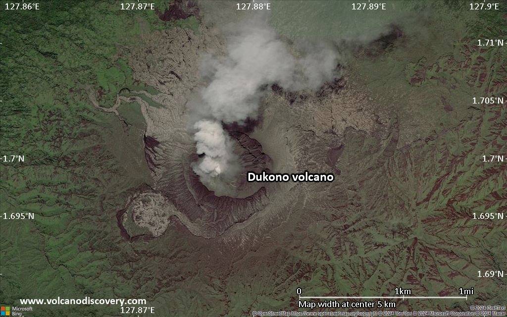
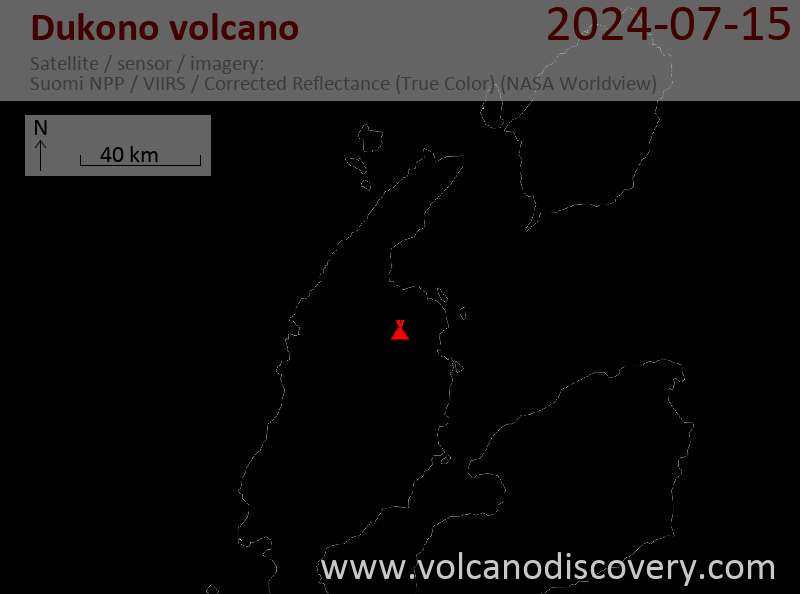
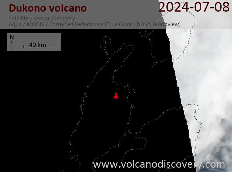
Latest satellite images
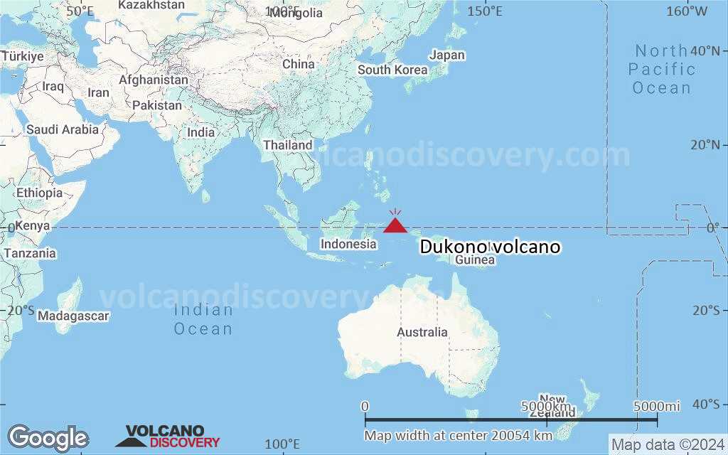
Dukono satellite image sat1Dukono satellite image sat2
Dukono Volcano Tours
Sulawesi/Halmahera (Indonesia)
Volcanoes and Spices
17-day volcano trekking tour to the Molucca Sea: N-Sulawesi, Karangetang and Halmahera
17 days / 16 nights - Moderate
Price 3570 €
12-29 May 2025
9-25 Jun 2025
7-23 Jul 2025

Dukono Volcano Maps

Below is a selection of maps showing the location and surroundings of the volcano at various resolutions based on aerial-imagery / terrain maps. Feel free to use them for non-commercial purposes on your blog or website as long as you credit them with a link back to this page (click to copy it).
Satellite/aerial-type map of Dukono volcano (world scale)
Terrain-type map of Dukono volcano (world scale)
Satellite/aerial-type map of Dukono volcano (region scale large)
Terrain-type map of Dukono volcano (region scale large)
Satellite/aerial-type map of Dukono volcano (region scale medium)
Terrain-type map of Dukono volcano (region scale medium)
Satellite/aerial-type map of Dukono volcano (region scale small)
Terrain-type map of Dukono volcano (region scale small)
Satellite/aerial-type map of Dukono volcano (local scale large)
Terrain-type map of Dukono volcano (local scale large)
Satellite/aerial-type map of Dukono volcano (local scale medium)
Terrain-type map of Dukono volcano (local scale medium)
Satellite/aerial-type map of Dukono volcano (local scale small)
Terrain-type map of Dukono volcano (local scale small)
Satellite/aerial-type map of Dukono volcano (scale of 10s of km)
Terrain-type map of Dukono volcano (scale of 10s of km)
Satellite/aerial-type map of Dukono volcano (scale of 20-40 km)
Terrain-type map of Dukono volcano (scale of 20-40 km)
Satellite/aerial-type map of Dukono volcano (scale of approx. 10-20 km)
Terrain-type map of Dukono volcano (scale of approx. 10-20 km)
Satellite/aerial-type map of Dukono volcano (scale of 5-10 km)
Satellite/aerial-type map of Dukono volcano (scale of few kilometers)
Volcanoes & Earthquakes - new app for Android
Guaranteed tours
12-19 Apr 2025: Europe's Volcanic Outpost - Canary Islands
9-25 Jun 2025: Volcanoes and Spices - Sulawesi/Halmahera (Indonesia)
27 Jun - 6 Jul 2025: Iceland Volcano Special - Iceland
7-23 Jul 2025: Volcanoes and Spices - Sulawesi/Halmahera (Indonesia)
1-17 Aug 2025: Volcanoes and Spices - Sulawesi/Halmahera (Indonesia)
1-14 Oct 2025: Desert, salt and volcanoes - Danakil desert (Ethiopia)
4-12 Oct 2025: From Stromboli to Etna - Sicily and Eolian Islands (Italy)
3-19 Nov 2025: Volcanoes and Spices - Sulawesi/Halmahera (Indonesia)
= spaces available   = guaranteed   = few spaces left   = booked out

On this page:

Why is there advertising on this site?
Sources: VolcanoDiscovery / VolcanoAdventures and other sources as noted.
Use of material: Most text and images on our websites are owned by us. Re-use is generally not permitted without authorization. Contact us for licensing rights.
Volcanoes & Earthquakes
VolcanoDiscovery Home
Volcanoes | Earthquakes | Photos | Volcano News | | Shop | App
Adventure & Study Travel
Tours to Volcanoes and Volcanic Areas: walking tours, photo tours, study tours
Tours & Dates | FAQ | About us
Get our newsletter!
Company info
Contact | Legal info | Terms & conditions
Follow us
Follow us on facebook Follow us on Instagram Follow us on Bluesky Follow us on Twitter Visit our Youtube channel
EN | DE | EL | ES | FR | IT | RU
VolcanoDiscovery GmbH, Germany, Reg. nr.: HRB 103744, EU Tax Id: DE 297 465 123 owned and created by
Dr. Tom Pfeiffer, volcanologist, volcano photographer, tour organizer member of
IAVCEI
IAVCEI
Vulkanologische Gesellschaft
Volcanological Society
Ecotourism Greece
Ecotourism Greece
RUV insurance
Insured by R+V
VolcanoDiscovery © 2004- All Rights Reserved | Privacy - Cookie Settings