Dobu (Dawson Strait Group) Volcano
Updated: Apr 3, 2025 17:56 GMT -
stratovolcano
D'Entrecasteaux Islands (Papua New Guinea), -9.75°S / 150.87°E 
Summit height: 300 m / 984 ft
Current status: normal or dormant (1 out of 5)
Dobu is one of 3 volcanic centres of the Dawson Strait Group. It forms the small Dobu Island SE of Fergusson Island.
Dobu volcano consists of a composite cone with a summit crater and a small satellite cone. It, too, has produced obsidian lava flows.
[smaller] [larger]
Dobu (Dawson Strait Group) volcano eruptions: unknown
Latest nearby earthquakes
| Date and Time | Mag / Depth | Distance / Location | |||
|---|---|---|---|---|---|
Background
Dawson Strait Group volcanofrom Smithsonian / GVP volcano information:
The Dawson Straits, located between eastern Fergusson and western Normanby Islands in the D'Entrecasteaux island group, contains a volcanic field with several volcanic centers that define a possible partly submerged caldera.
There have been no historical eruptions from this center, but morphology suggests an extremely young age for some lava flows, and the area displays vigorous thermal activity. The most prominent volcanic centers are Mounts Lamonai and Oiau, located about 10 km apart on the SW tip of Fergusson Island.
Latest satellite images
Dobu (Dawson Strait Group) Volcano Maps
Below is a selection of maps showing the location and surroundings of the volcano at various resolutions based on aerial-imagery / terrain maps. Feel free to use them for non-commercial purposes on your blog or website as long as you credit them with a link back to this page (click to copy it).

Satellite/aerial-type map of Dobu (Dawson Strait Group) volcano (world scale)

Terrain-type map of Dobu (Dawson Strait Group) volcano (world scale)
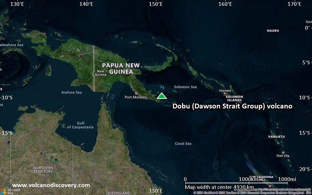
Satellite/aerial-type map of Dobu (Dawson Strait Group) volcano (region scale large)

Terrain-type map of Dobu (Dawson Strait Group) volcano (region scale large)
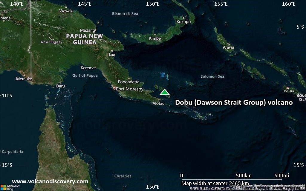
Satellite/aerial-type map of Dobu (Dawson Strait Group) volcano (region scale medium)

Terrain-type map of Dobu (Dawson Strait Group) volcano (region scale medium)

Satellite/aerial-type map of Dobu (Dawson Strait Group) volcano (region scale small)
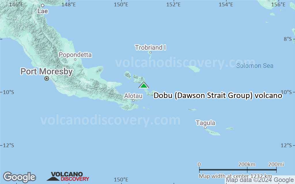
Terrain-type map of Dobu (Dawson Strait Group) volcano (region scale small)

Satellite/aerial-type map of Dobu (Dawson Strait Group) volcano (local scale large)

Terrain-type map of Dobu (Dawson Strait Group) volcano (local scale large)

Satellite/aerial-type map of Dobu (Dawson Strait Group) volcano (local scale medium)
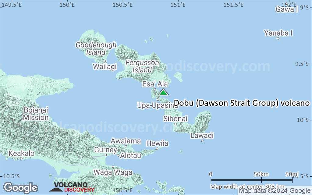
Terrain-type map of Dobu (Dawson Strait Group) volcano (local scale medium)

Satellite/aerial-type map of Dobu (Dawson Strait Group) volcano (local scale small)

Terrain-type map of Dobu (Dawson Strait Group) volcano (local scale small)

Satellite/aerial-type map of Dobu (Dawson Strait Group) volcano (scale of 10s of km)

Terrain-type map of Dobu (Dawson Strait Group) volcano (scale of 10s of km)

Satellite/aerial-type map of Dobu (Dawson Strait Group) volcano (scale of 20-40 km)

Terrain-type map of Dobu (Dawson Strait Group) volcano (scale of 20-40 km)
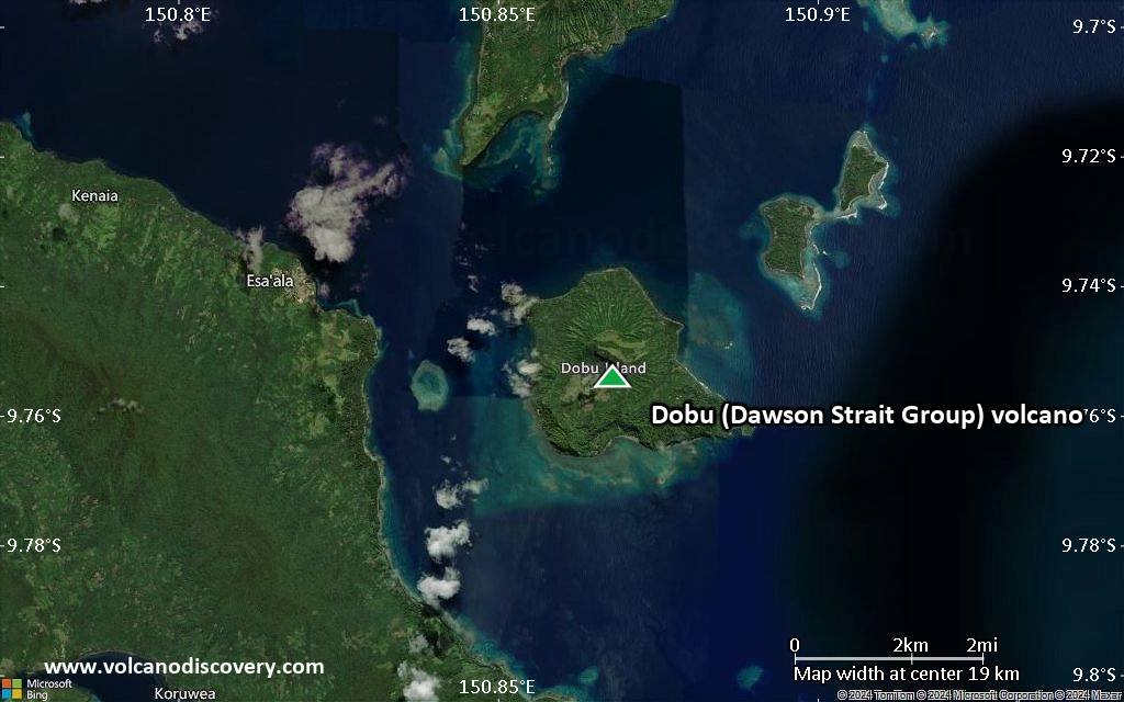
Satellite/aerial-type map of Dobu (Dawson Strait Group) volcano (scale of approx. 10-20 km)

Terrain-type map of Dobu (Dawson Strait Group) volcano (scale of approx. 10-20 km)

Satellite/aerial-type map of Dobu (Dawson Strait Group) volcano (scale of 5-10 km)

Satellite/aerial-type map of Dobu (Dawson Strait Group) volcano (scale of few kilometers)


-sat1-3-latest.jpg)
-sat2-3-latest.jpg)
