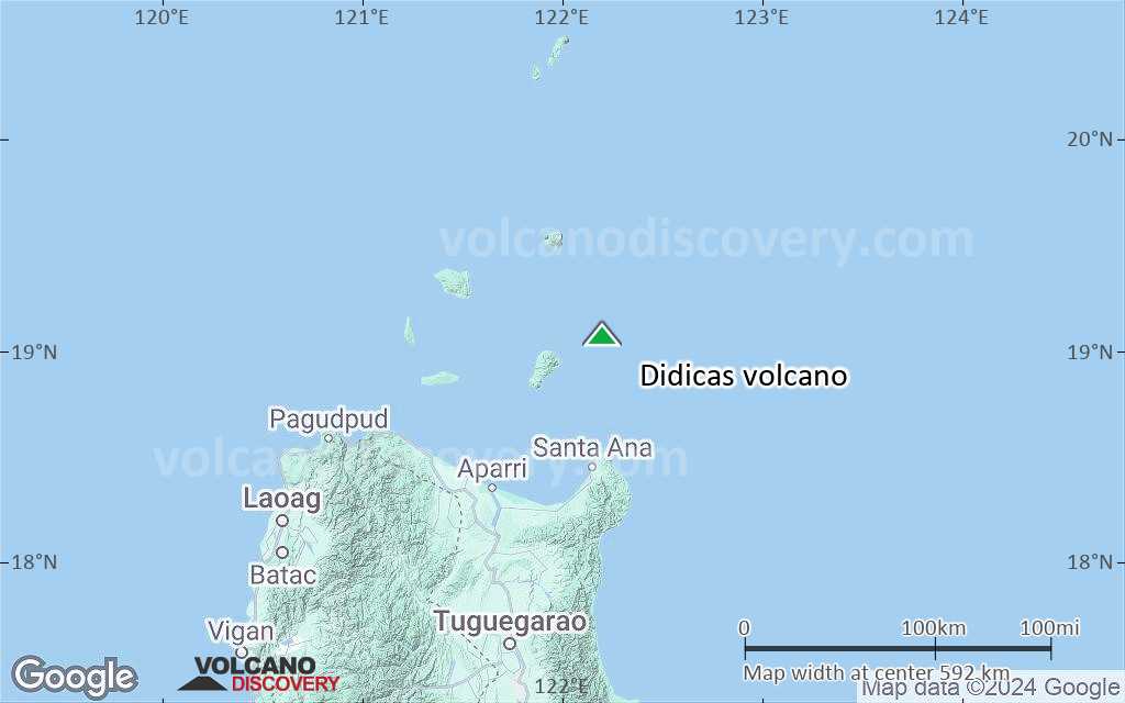
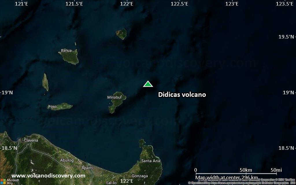
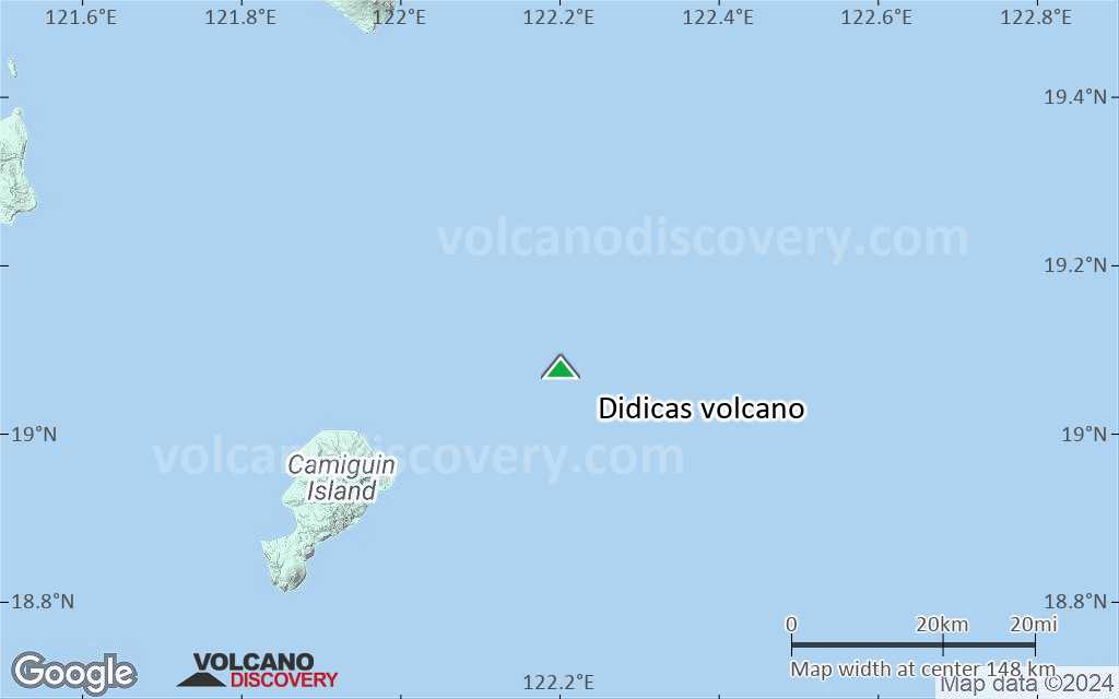
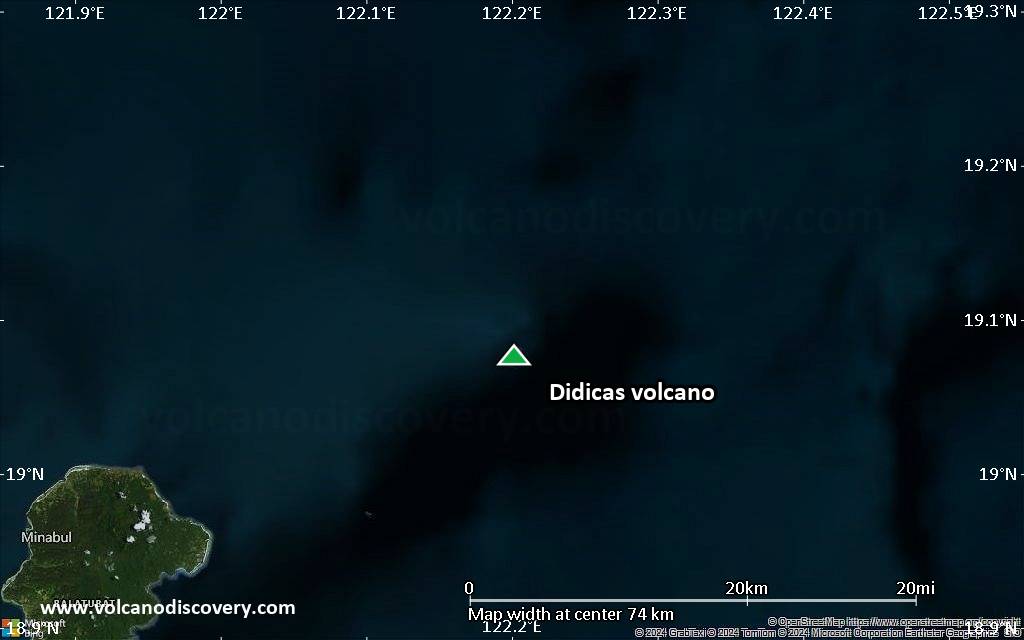
Didicas Volcano
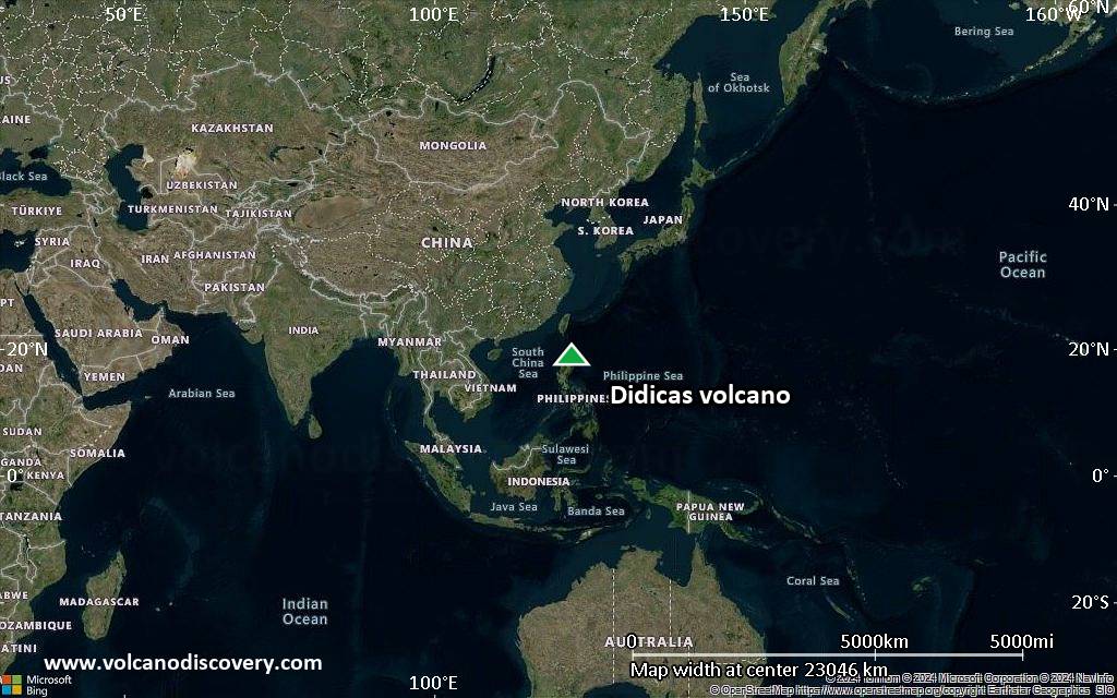
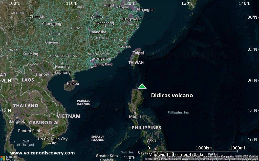
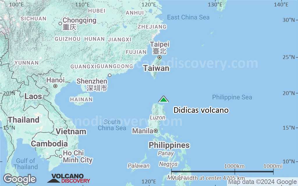
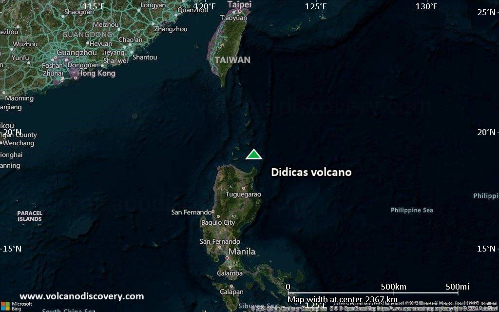
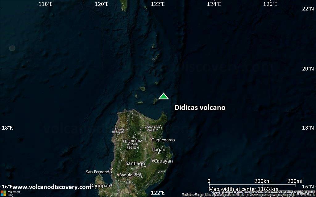
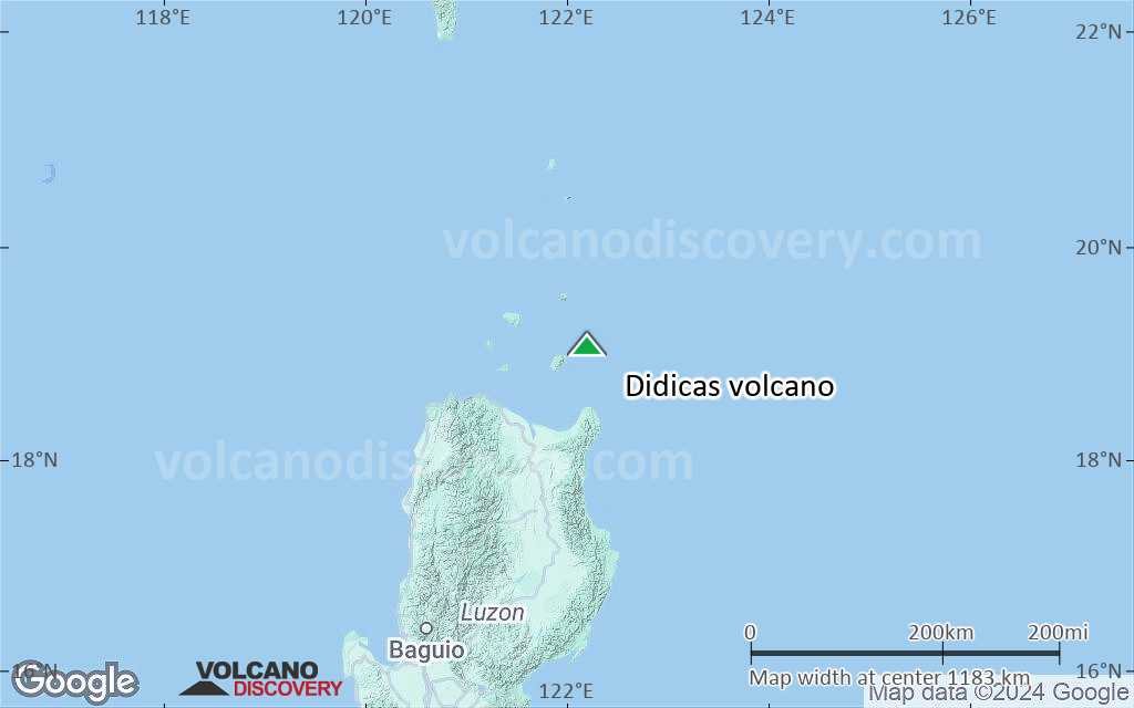
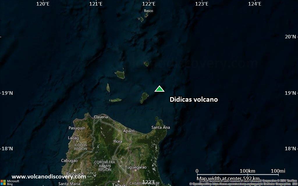
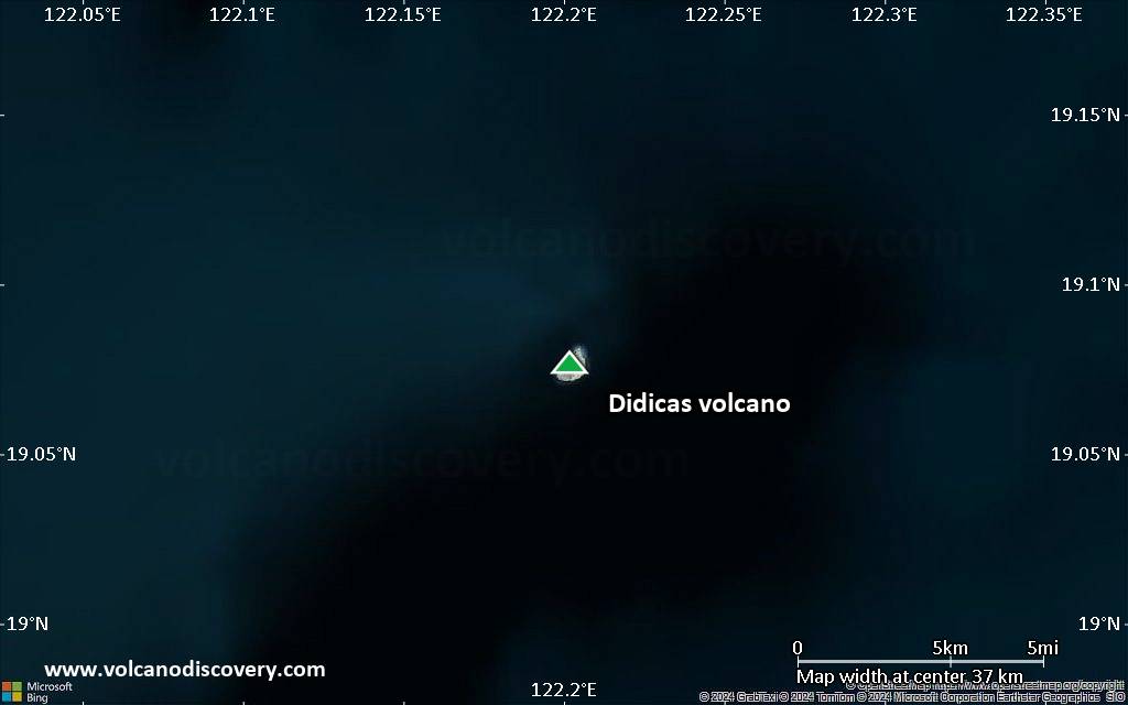
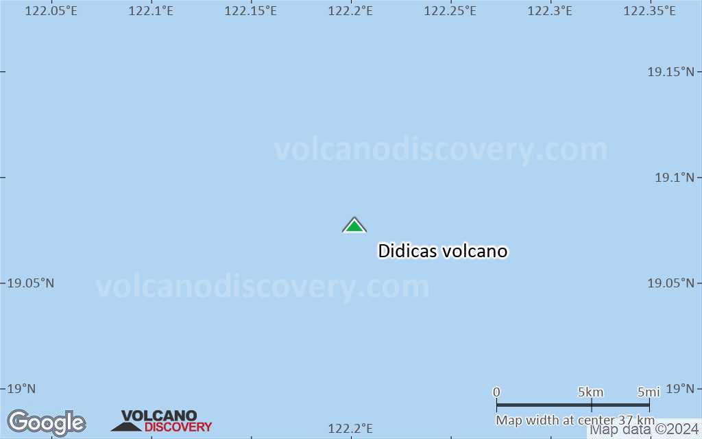
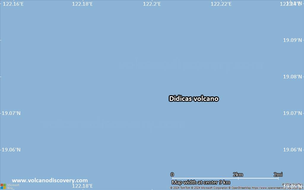
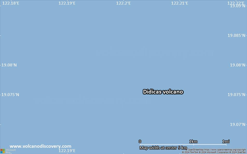
Didicas volcano is a small volcanic island 22 km NE of Camiguin Island, 60 km off the northern coast of Luzon, Philippines.
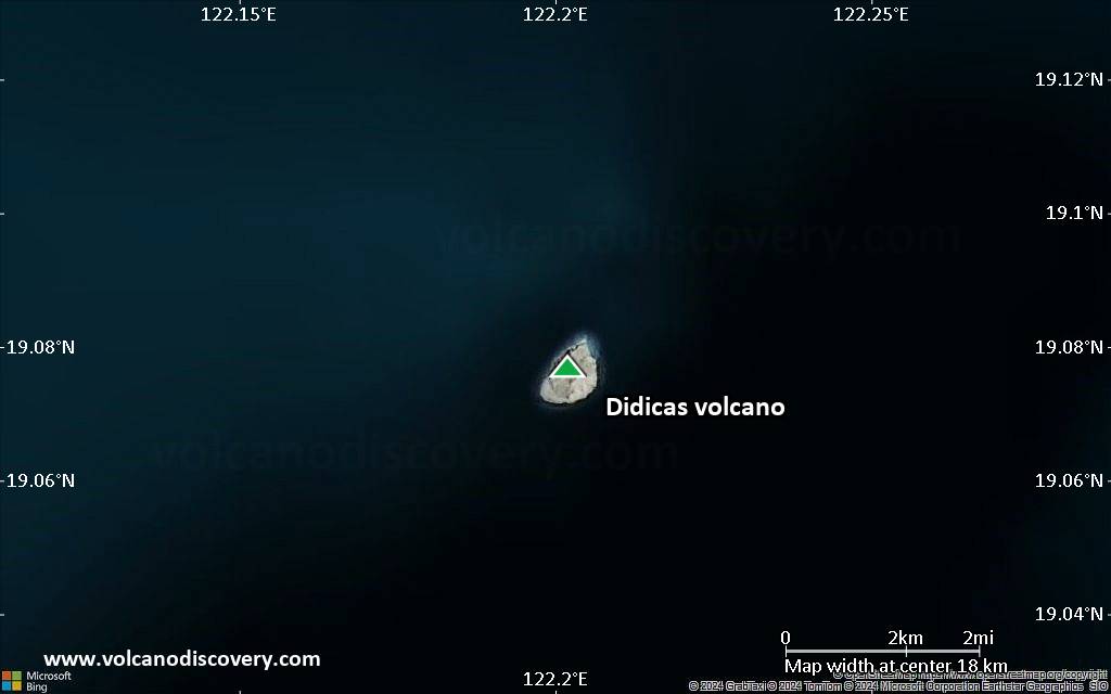
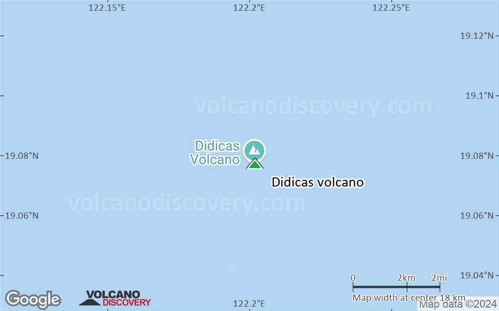
Until 1952, it was a submarine volcano that had previously formed temporary islands during eruptions. In the eruption of 1952 the submarine volcano formed a new lava dome that surfaced above sea level and has become now a permanent new island.
Didicas volcano eruptions: 1978, 1969, 1952, 1900, 1856-1857, 1773
Latest nearby earthquakes
| Date and Time | Mag / Depth | Distance / Location | |||
|---|---|---|---|---|---|
| Mar 11, 07:30 pm (GMT +8) | 3.0 4 km | 23 km (15 mi) to the SW | Info | ||
Background
Didicas volcano now consists of a small, 244-m-high andesitic lava dome about 1.4 km in its longest diameter.A 400-m-wide crater was formed during the 1952 eruption. The first recorded submarine eruption of Didicas occurred in 1773.
In an eruption in 1860, Didicas also built a new island, the first recorded cone of Didicas breaching the sea surface. It reached a height of 213 m in 1860, when the eruption ended, but it was soon eroded beneath the sea, because it mainly consisted of loose tephra. 3 rock masses up to 82 m high were left after an eruption in 1900. 2 more eruptions occurred since 1952 at an explosion crater on the northern side of the island.
(Source: GVP volcano information)
Significant volcanic eruptions: Didicas volcano
There is one uncertain or discredited eruption in 1773 from Didicas volcano.
| Date | Note | VEI | Deaths | Damage | |
|---|---|---|---|---|---|
| NNE side Historical obs./docs. | 2 | ||||
| North side Historical obs./docs. | 2 | ||||
| 1969 Mar 21 (eruption | Tsunami recorded Historical obs./docs. | 2 | 3 | Info | |
Historical obs./docs. | 2 | ||||
Historical obs./docs. | 0? | ||||
Historical obs./docs. | 2 | ||||
?? | Uncertain Eruption Historical obs./docs. | 1? | |||
Eruptions of Didicas volcano
A new 20 m wide crater formed on the N side of the island and was observed for the first time on 27 March 1969 during a reconnaissance flight. The crater measuring was filled with muddy boiling water, the northern half of the island was covered by thick whitish-gray ash and the sea water in front of the crater was discolored.
3 people who were fishing near the coast of Didicas Island drowned when a volcanic tsunami generated by the eruption "swollowed" them.
---
Source: GVP monthly bulletin
Didicas was a submarine volcano until 1952, when an eruption formed a new island, that resisted erosion afterwards. It now measures up to 1.4 km in diameter and rises about 250 m above sea level.
A US pilot on a reconnaissance flight who observed the Didicas'eruption compared it to the similar submarine eruption in 1956 between the islands of Oahu and Kauai in Hawaii he and others had observed.
Didicas Volcano FAQ
+When was the last eruption of Didicas volcano?
The last confirmed eruption of Didicas occurred in 1978.
+How often does Didicas volcano erupt?
Since 1856, Didicas volcano has had at least 5 historically documented eruptions. This means that it erupts on average every 33.8 years.
Many eruptions of Didicas have lasted more than one year. In total, the volcano has been in eruption during 10 out of 169 years until now. In other words, Didicas has been active at least one in 16.9 years on average. Note that this value is likely an underestimate, because the known history of eruptions from Didicas is likely incomplete, especially further back in time.
+How active is Didicas volcano at present?
Didicas volcano is occasionally active: Since 1900, it has had 5 eruptions, and been active during 5 years out of 126 as of now. This means, Didicas has been in eruption one in 25.2 years on average. The last eruption was in 1978 and ended 47 years ago.
+When was the largest eruption of Didicas volcano?
The largest eruption of Didicas volcano in historic times occurred in 1978. It ranks as a strombolian to vulcanian eruption with a magnitude 2 on the VEI (Volcanic Explosivity Index) scale.
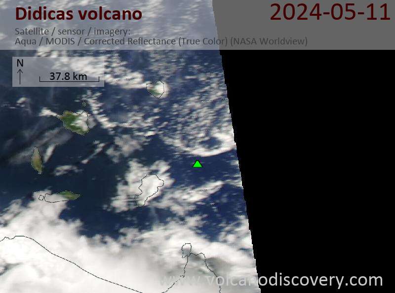
Latest satellite images
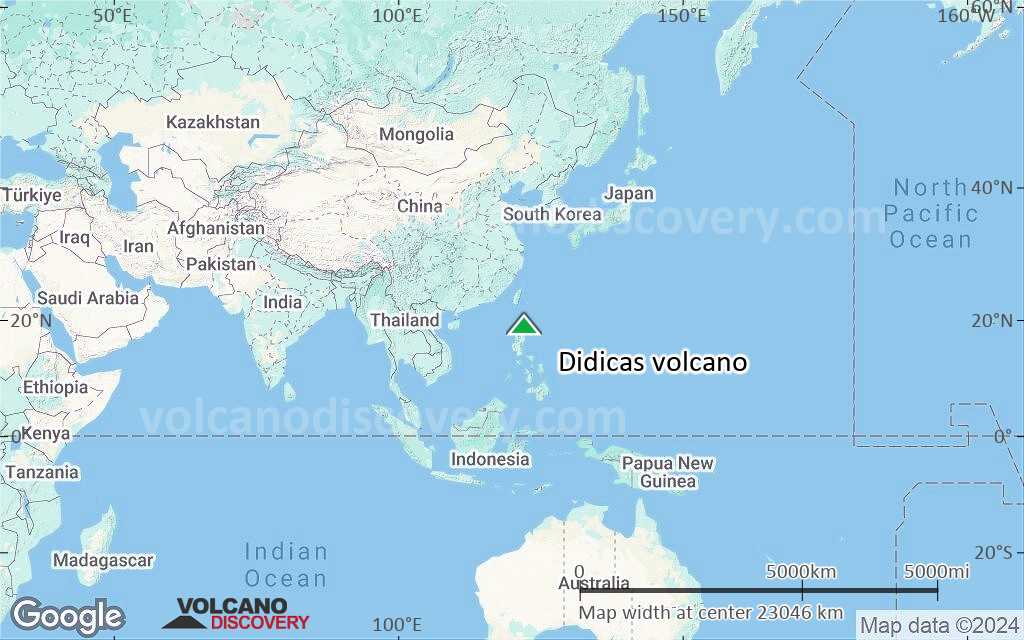
Didicas Volcano Maps