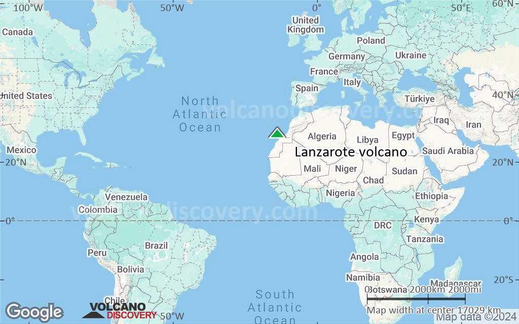
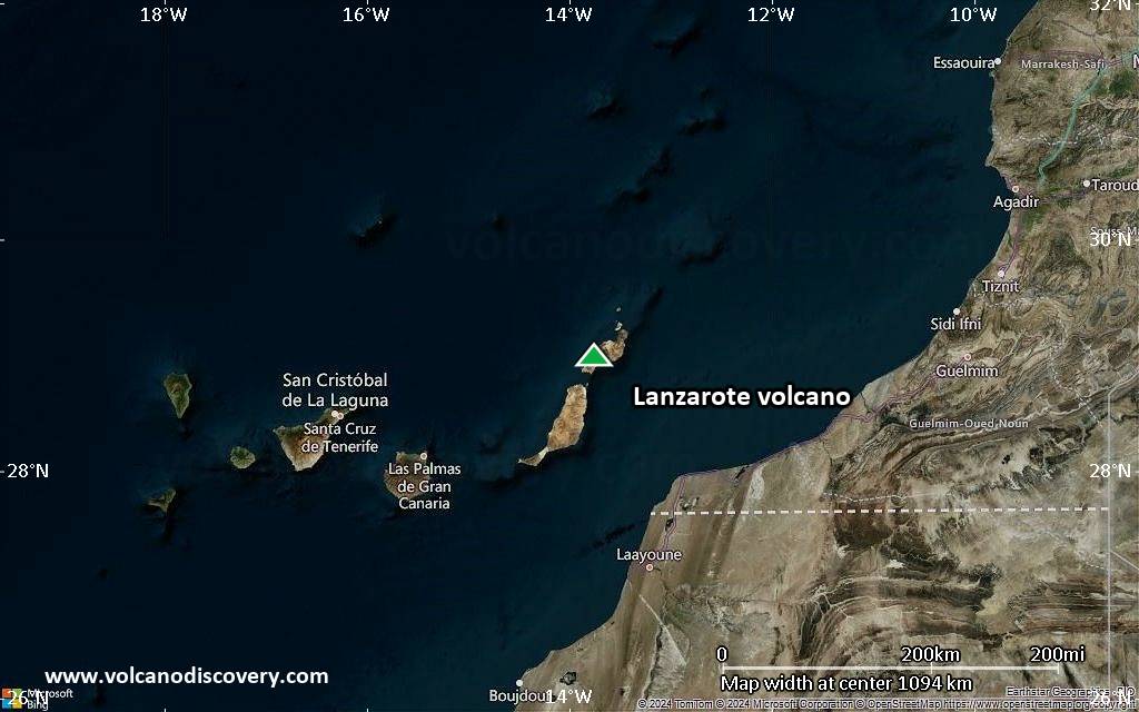
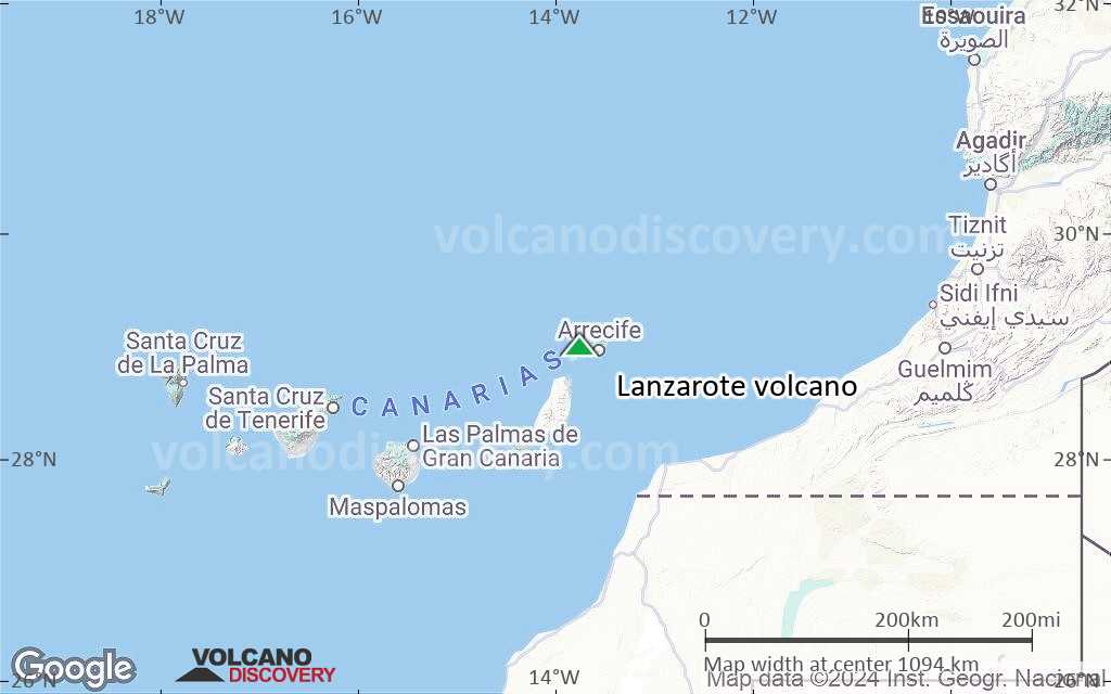
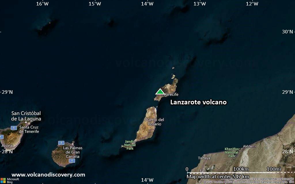
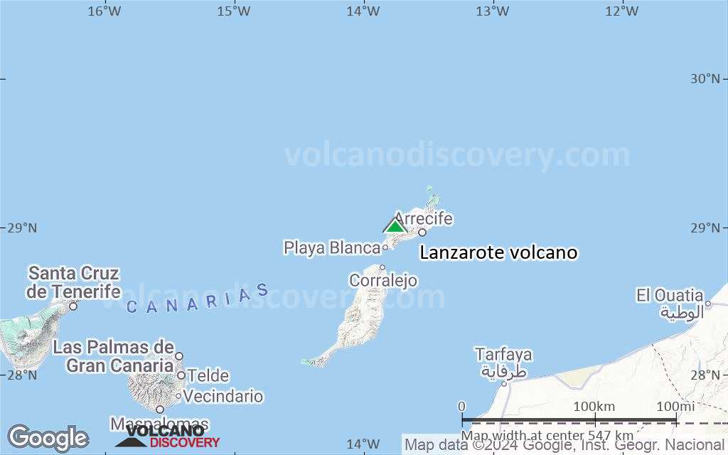
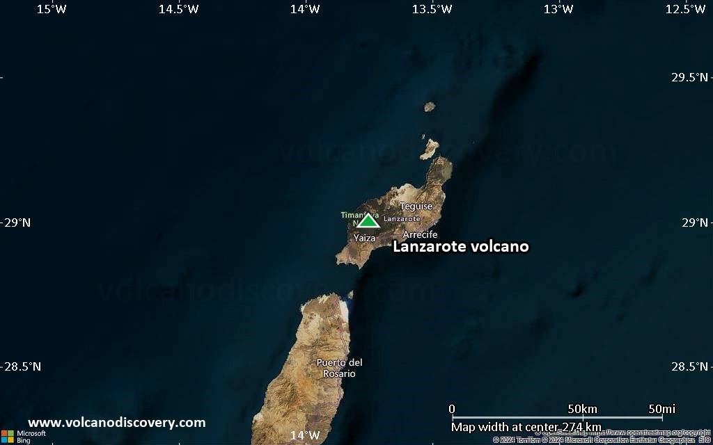
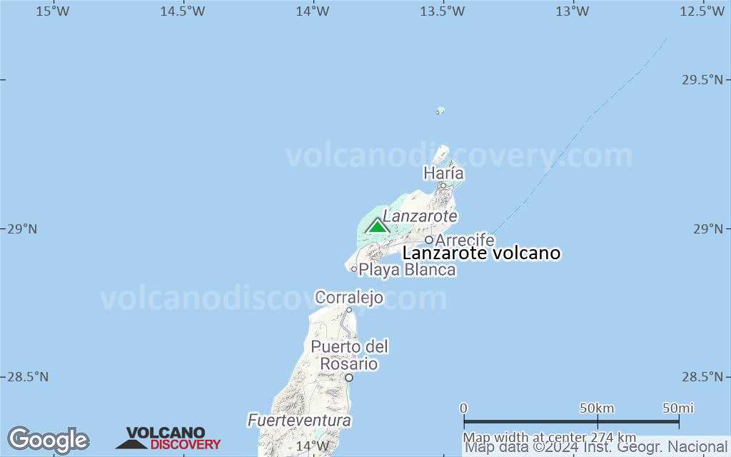
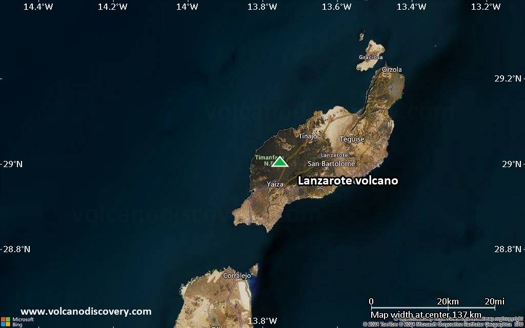
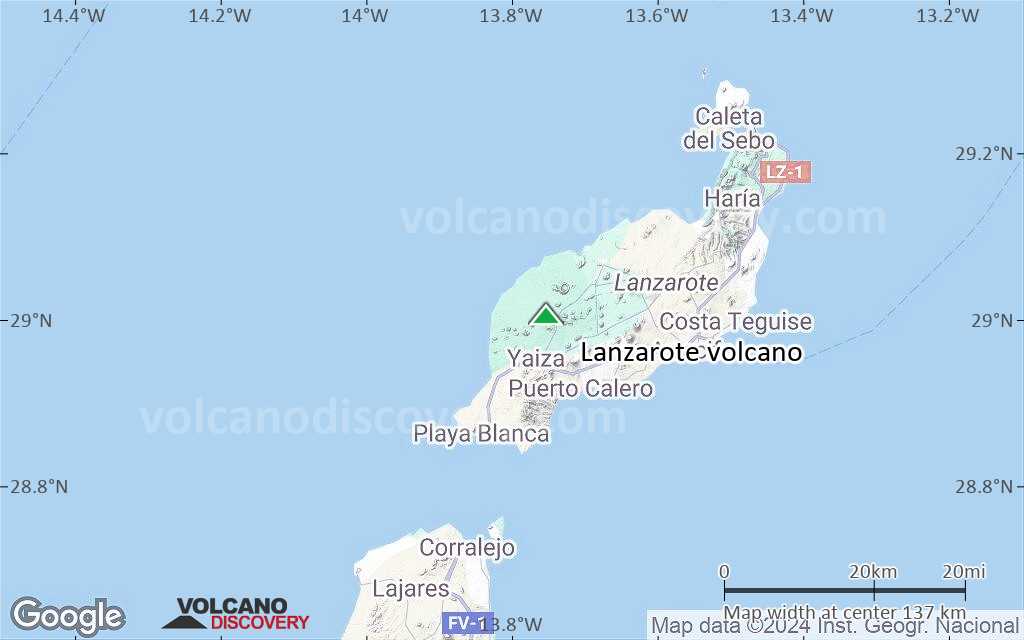
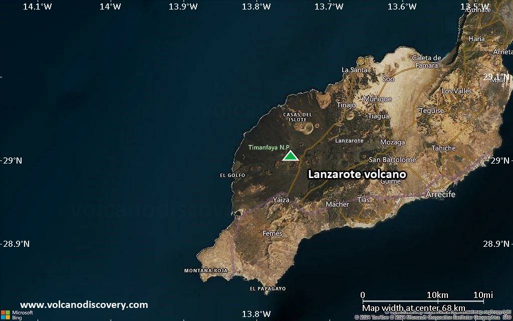
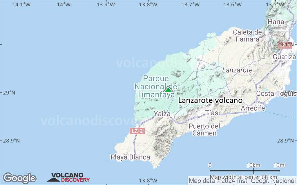
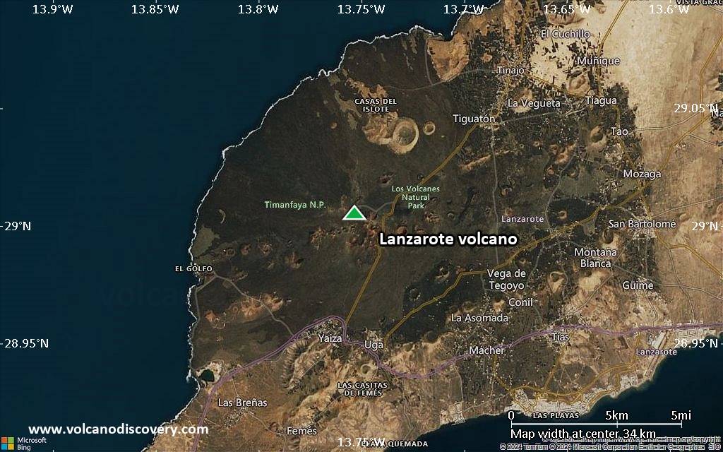
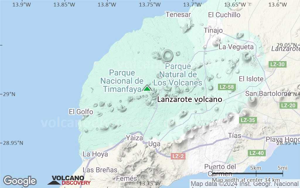
| RSS | EN | DE | EL | ES | FR | IT | RU

Lanzarote Vulkan

Updated: 27. Apr. 2025 10:35 GMT -
shield volcano
Canary Islands (Spain), 29.01°N / -13.75°W
Summit height: 670 m
Aktueller Status: normal / ruhend (1 von 5)
Last update: 11 Mär 2022

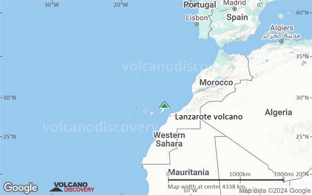
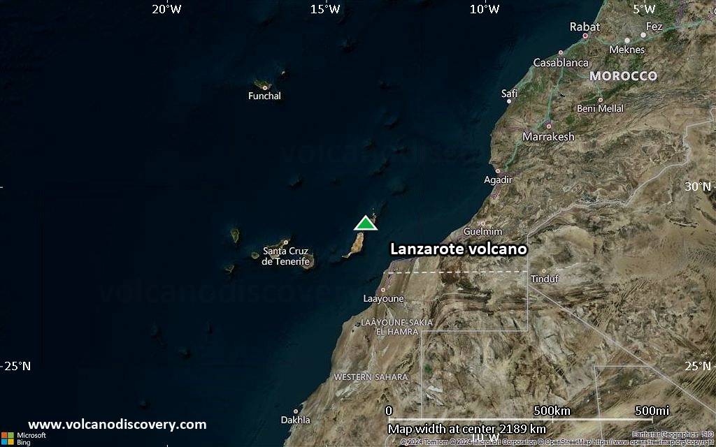
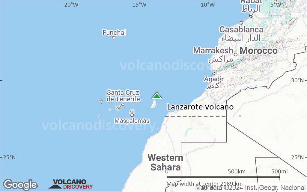
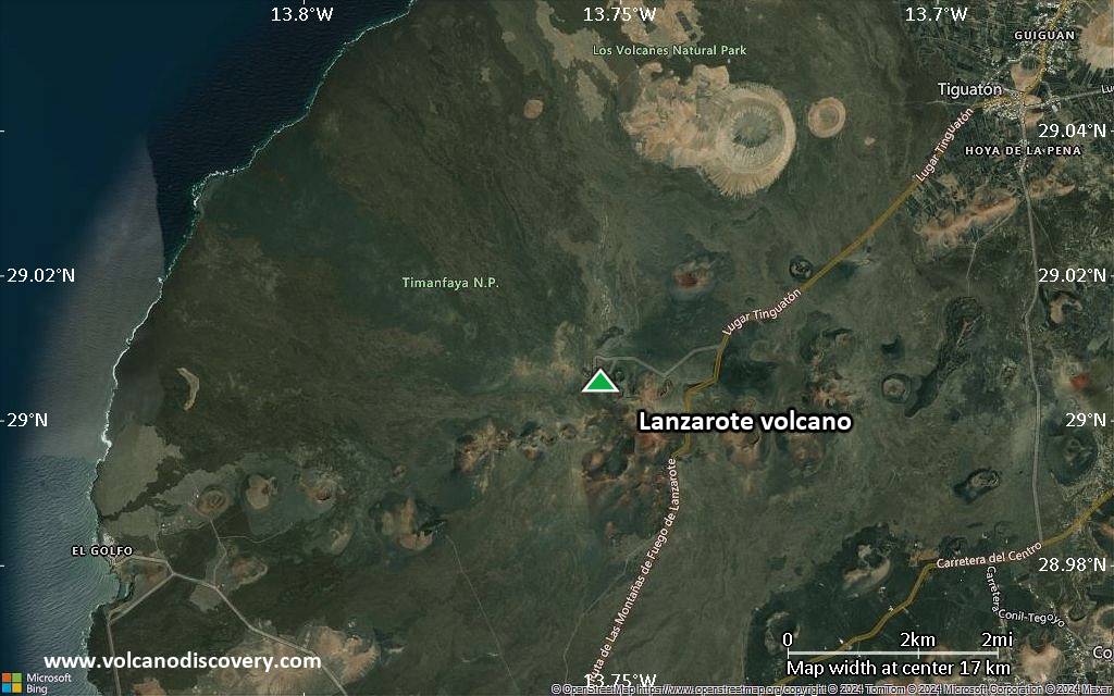
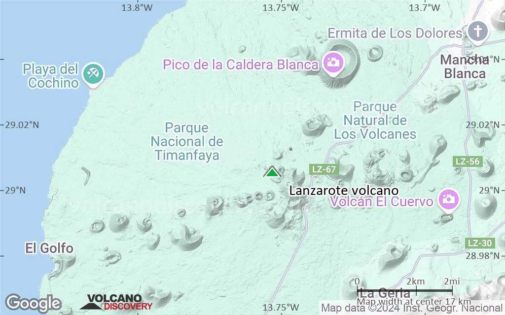
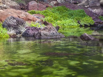
The 60-km-long island of Lanzarote at the NE end of the Canary Islands contains the largest concentration of youthful volcanism in the Canaries.

[smaller] [larger]
Typische Aktivität: Explosive
Ausbrüche des Lanzarote: 1824

Letzte Erdbeben in der Nähe

Datum und UhrzeitMag / TiefeDistanz / Ort

Beschreibung

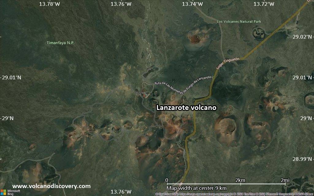
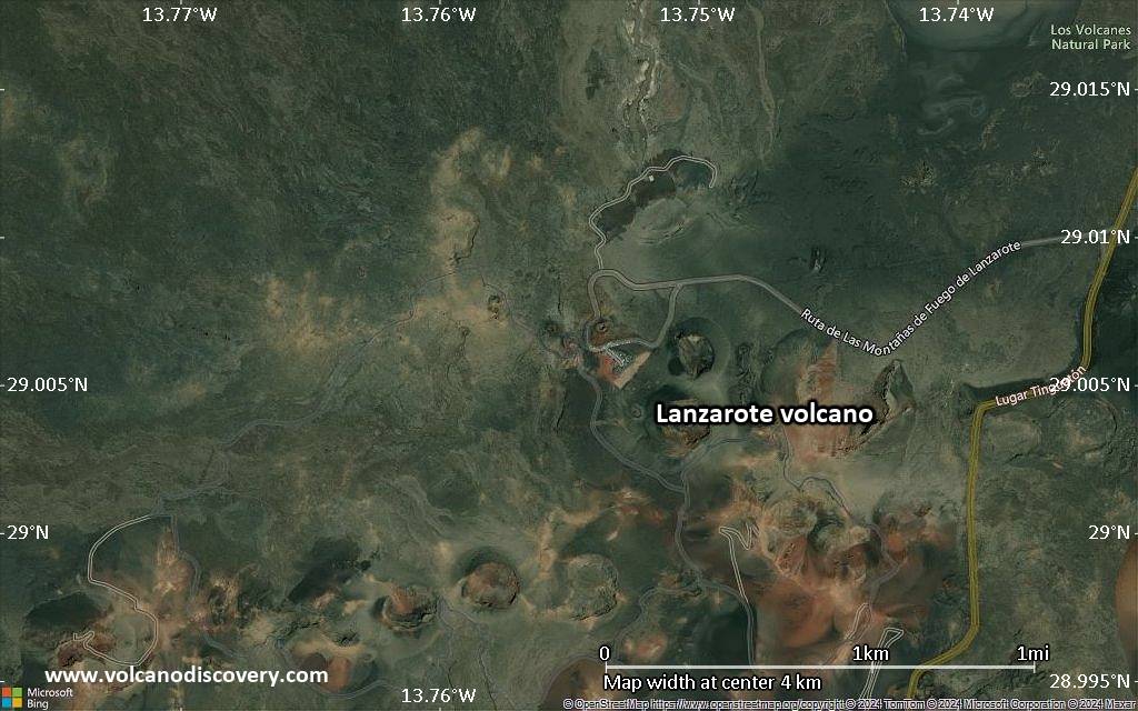
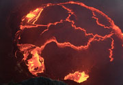
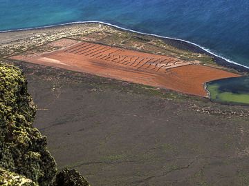
Pleistocene-and-Holocene cinder cones and lava flows erupted along NE-SW-trending fissures are found throughout the low-altitude arid island and on smaller islands to the north. The largest historical eruption of the Canary Islands took place during 1730-36, when long-term eruptions from a NE-SW-trending fissure formed the Montañas del Fuego and produced voluminous lava flows that covered about 200 sq km. The lava flows reached the western coast along a broad, 20-km-wide front. The villages of Maretas and Santa Catalina were destroyed, along with the most fertile valleys and estates of the arid island. An eruption during 1824 produced a much smaller lava flow that reached the SW coast. Source: Smithsonian GVP

Lanzarote Volcano Photos

Bedeutende Vulkanausbrüche: Lanzarote volcano

In the past 10,000 years, Lanzarote has had at least 4 confirmed volcanic eruptions, out of which 2 are documented by historical records, while the others can be inferred from geological evidence.

The table below lists all known eruptions (date in bold face) of Lanzarote volcano in historic times and during the past 10,000 years. Updates on the most recent volcanic activity of Lanzarote can be found on the news page of Lanzarote volcano.
DatumHinweisVEITodesopferSchaden
1824 Jul 31 - Okt 24Tao, Nuevo del Fuego, Tinguatón
Hist. dokumentiert
2
unbekannt
1730 Sep 1 - 1736 Apr 16Montañas del Fuego
Hist. dokumentiert
3
unbekannt
1730 Sep 1
(Ausbruch 1730 Sep 1 - 1736 Apr 16)
Hist. dokumentiert
21-50 (*)
unbekannt
Info
700 ±50 y. ADMazo, Santa Catalina, Corazoncillo?
unbekannt
500 ±50 y. ADMontaña de Juan Perdomo?
unbekannt
(*) Geschätzte Zahlen
Anmerkung:
Unsere Liste von Vulkanausbrüchen orientiert sich eng an der Datenbank des Global Volcanism Project (GVP) des Smithsonian Instituts, der international anerkanntesten globalen Datenquelle für Vulkanausbrüche. Sie schließt aber auch bedeutende Eruptionsepisoden oder damit zusammenhängende Vulkanereignisse ein. Unter "Vulkanausbrüchen" versteht man in der Regel meist Serien einzelner Eruptionsepisoden, die zeitlich aufeinander folgen oder sich (bei mehreren beteiligten Ausbruchspunkten an einem Vulkan) auch überlappen können und unter Umständen viele Jahre, Jahrzehnte oder noch länger andauern können. So ist z.B. die aktuelle Tätigkeit des Stromboli als ein einziger Ausbruch verstanden, der seit 1934 anhält.
Quellen: NOAA National Centers for Environmental Information (NCEI), Global Significant Volcanic Eruptions Database. doi:10.7289/V5TD9V7K | Global Volcanism Project / Smithsonian Institution

Lanzarote Volcano FAQ

+When was the last eruption of Lanzarote volcano?

+How often does Lanzarote volcano erupt?

+When was the largest eruption of Lanzarote volcano?

Neueste Satellitenbilder

Lanzarote Satellitenbild sat1Lanzarote Satellitenbild sat2

Lanzarote Vulkan Karten

Below is a selection of maps showing the location and surroundings of the volcano at various resolutions based on aerial-imagery / terrain maps. Feel free to use them for non-commercial purposes on your blog or website as long as you credit them with a link back to this page (click to copy it).
Satellite/aerial-type map of Lanzarote volcano (world scale)
Terrain-type map of Lanzarote volcano (world scale)
Satellite/aerial-type map of Lanzarote volcano (region scale large)
Terrain-type map of Lanzarote volcano (region scale large)
Satellite/aerial-type map of Lanzarote volcano (region scale medium)
Terrain-type map of Lanzarote volcano (region scale medium)
Satellite/aerial-type map of Lanzarote volcano (region scale small)
Terrain-type map of Lanzarote volcano (region scale small)
Satellite/aerial-type map of Lanzarote volcano (local scale large)
Terrain-type map of Lanzarote volcano (local scale large)
Satellite/aerial-type map of Lanzarote volcano (local scale medium)
Terrain-type map of Lanzarote volcano (local scale medium)
Satellite/aerial-type map of Lanzarote volcano (local scale small)
Terrain-type map of Lanzarote volcano (local scale small)
Satellite/aerial-type map of Lanzarote volcano (scale of 10s of km)
Terrain-type map of Lanzarote volcano (scale of 10s of km)
Satellite/aerial-type map of Lanzarote volcano (scale of 20-40 km)
Terrain-type map of Lanzarote volcano (scale of 20-40 km)
Satellite/aerial-type map of Lanzarote volcano (scale of approx. 10-20 km)
Terrain-type map of Lanzarote volcano (scale of approx. 10-20 km)
Satellite/aerial-type map of Lanzarote volcano (scale of 5-10 km)
Satellite/aerial-type map of Lanzarote volcano (scale of few kilometers)
Volcanoes & Earthquakes - new app for Android
Garantierte Reisen
9.-25. Jun 2025: Volcanoes and Spices - N-Sulawesi + Halmahera (Indonesien)
7.-22. Jul 2025: Von Krakatau bis Bali - Java (Indonesien)
7.-23. Jul 2025: Volcanoes and Spices - N-Sulawesi + Halmahera (Indonesien)
1.-17. Aug 2025: Volcanoes and Spices - N-Sulawesi + Halmahera (Indonesien)
1.-14. Okt 2025: Wüste, Salz und Vulkane - Danakilwüste (Äthiopien)
4.-12. Okt 2025: Feuerberge Siziliens - vom Stromboli zum Ätna - Äolische Inseln + Ätna
6.-21. Okt 2025: Von Krakatau bis Bali - Java (Indonesien)
3.-19. Nov 2025: Volcanoes and Spices - N-Sulawesi + Halmahera (Indonesien)
= Plätze frei   = garantiert   = Wenig freie Plätze   = Ausgebucht
Fr, 17. Jan 2014, 00:02

Lanzarote Dec 2013: photos by Tobias Schorr

Tobias visited the Canary Islands on a reconnaissance trip in December 2013 as a preparation for a new tour for VolcanoDiscovery Tours. We present some of his pictures from Lanzarote Island. ... Alles lesen

Auf dieser Seite:

Try our free app!
Volcanoes & Earthquakes - new app for Android
Android | iOS version

More on VolcanoDiscovery

Warum gibt es Werbung auf dieser Seite?

Unterstützen Sie unsere Arbeit!

Diese Webseite und die dazugehörigen Apps und Tools instandzuhalten und kostenlos Nachrichten zu Vulkanen, Erdbeben und anderen Themen bereitzustellen, verschlingt enorm viel Zeit und auch Geld.
Wenn Sie die Infos mögen und uns in der Arbeit dazu unterstützen wollen, würden wir uns über eine Spende (über PayPal) sehr freuen.
Online Zahlung (Kreditkarte)
Damit können wir Ihnen auch in Zukunft neue Features entwickeln und Bestehende laufend verbessern.Vielen Dank!
Sources: VolcanoDiscovery / VolcanoAdventures and other sources as noted.
Use of material: Most text and images on our websites are owned by us. Re-use is generally not permitted without authorization. Contact us for licensing rights.
Volcanoes & Earthquakes
VolcanoDiscovery Home
Vulkane | Erdbeben | Fotos | News | | Shop | App
Adventure & Study Travel
Reisen zu Vulkanen und Vulkangebieten: Wanderreisen, Studienreisen, Fotoreisen
Tours & Dates | FAQ | About us
Get our newsletter!
Company info
Kontakt | Impressum | AGB
Follow us
Follow us on facebook Follow us on Instagram Follow us on Bluesky Follow us on Twitter Visit our Youtube channel
EN | DE | EL | ES | FR | IT | RU
VolcanoDiscovery GmbH, Germany, Reg. nr.: HRB 103744, EU Tax Id: DE 297 465 123 owned and created by
Dr. Tom Pfeiffer, volcanologist, volcano photographer, tour organizer member of
IAVCEI
IAVCEI
Vulkanologische Gesellschaft
Volcanological Society
Ecotourism Greece
Ecotourism Greece
RUV insurance
Insured by R+V
VolcanoDiscovery © 2004- All Rights Reserved | Datenschutz - Cookie Einstellungen