Cook Volcano
Updated: Mar 26, 2025 08:33 GMT -
submarine volcano
Western Province, Solomon Islands, -8.25°S / 157.06°E 
Summit height: unknown depth
Current status: normal or dormant (1 out of 5)
Cook volcano is an alleged active submarine volcano in the Western Solomons, whose existence is questionable and not accepted by Smithsonian's Global Volcanism database, although it is listed as one of the 4 active volcanoes (Savo, Kavachi, Cook and Tinakula) of the Solomon Islands in the 1957 "Catalogue
of the Active Volcanoes of the World" by Fischer. These
are Savo, Kavachi, Cook and Tinakula. . Possible eruptions of the Cook volcano occurred in 1964 and 1991, and were reported by Australian navy.
[smaller] [larger]
Cook volcano eruptions: 1991 (?), 1964 (?)
Latest nearby earthquakes
| Date and Time | Mag / Depth | Distance / Location | |||
|---|---|---|---|---|---|
Background
The Australian research vessel HMAS Cook reported the discovery of a previously unknown submarine volcano in the region in December 1963.According to commander Hunt, there was an eruption half a year later on 25 May 1964. 2 locals in a boat were said to have observed a "mountain of black water", smoke that rose above the sea, and a large stained area of the sea. Large pumice clasts were washed ashore on nearby Munda Island.
A second eruption was reported by pilots of an Australian High Commissioner helicopter on 4 May 1991. According to volcanolive.com who probably quotes from an unknown Australian source, they saw "lava and ash erupting to form black material above the surface. ... An island formed 300 m x 150 m, 30 m high. It contained a 50 m diameter lava pond. Activity at Cook continued until 13 May."
Sources:
- volcanolive.com/cook.html (VolcanoLive: Cook Volcano)
- Fisher, N.H. (1957) "Catalogue of the Active Volcanoes and Solfatara
fields of Melanesia." "Catalogue of the active Volcanoes of the
World, Part IV Melanesia.", Naples, Italy
- Exon N F, Johnson R W (1986) "The elusive Cook volcano and other submarine forearc volcanoes in the Solomon Islands." Aust Bur Min Resour Geol Geophys J, v. 10, pp. 77-83
- Exon N F, Johnson R W (1989) "Reply: The elusive Cook volcano and other submarine forearc volcanoes in the Solomon Islands." Aust Bur Min Resour Geol Geophys J, v 11, pp. 121
Cook Volcano Photos
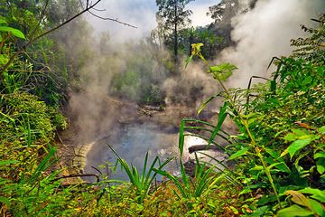
Cooking mud pool at Cipanas (Photo: Tobias Schorr)

The cooking area of the expedition camp on Ambrym. (Photo: Tom Pfeiffer)
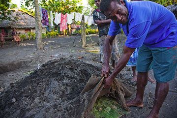
An "oven" where lap-lap, the traditional meal of Ambrym, is being cooked slowly. (Photo: Tom Pfeiffer)
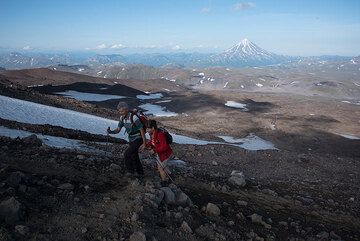
Sascha and Alina, our lovely driver/cook couple who care about our well-being during the expedition, take the opportunity for a leisurely quick stroll up to the crater. ...
Latest satellite images


Cook Volcano Maps
Below is a selection of maps showing the location and surroundings of the volcano at various resolutions based on aerial-imagery / terrain maps. Feel free to use them for non-commercial purposes on your blog or website as long as you credit them with a link back to this page (click to copy it).

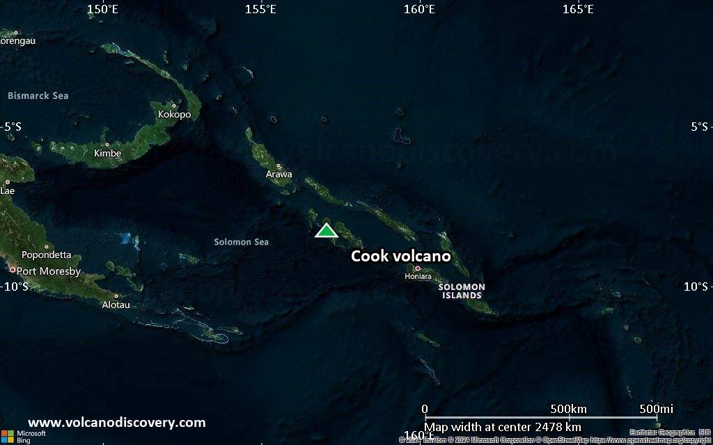
Satellite/aerial-type map of Cook volcano (world scale)

Terrain-type map of Cook volcano (world scale)

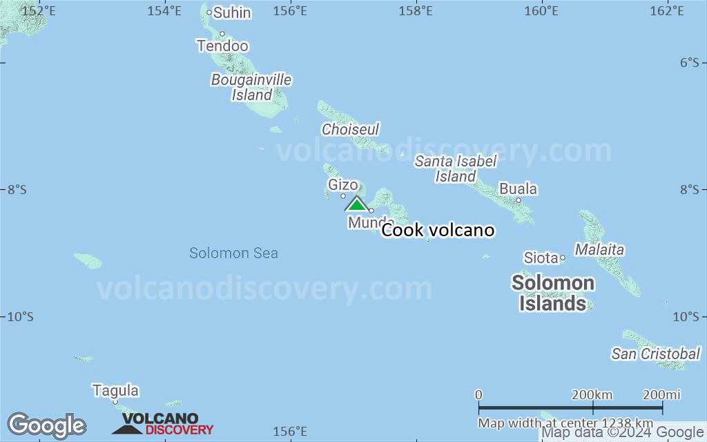
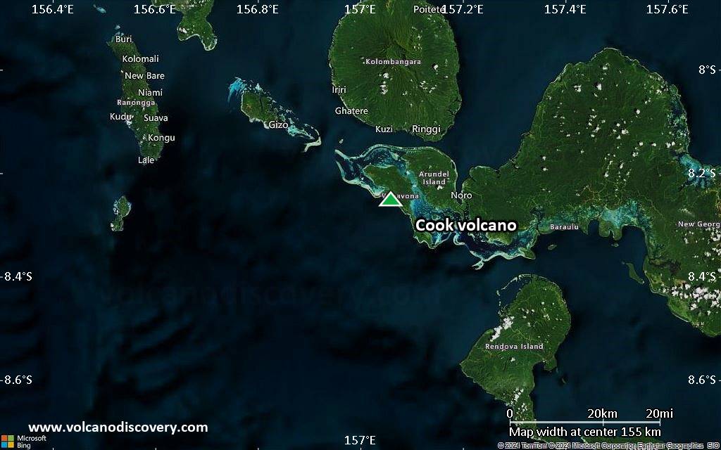
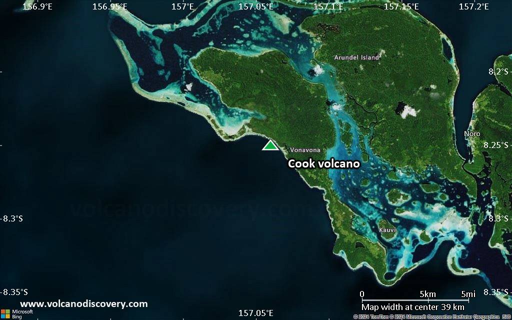
Satellite/aerial-type map of Cook volcano (region scale large)

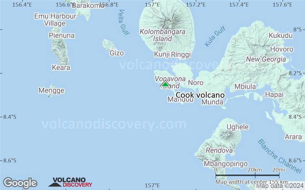
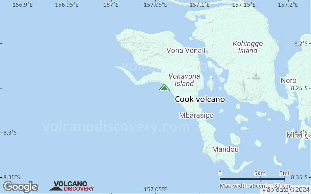
Terrain-type map of Cook volcano (region scale large)
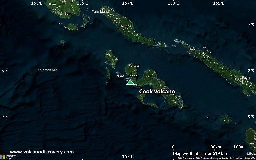
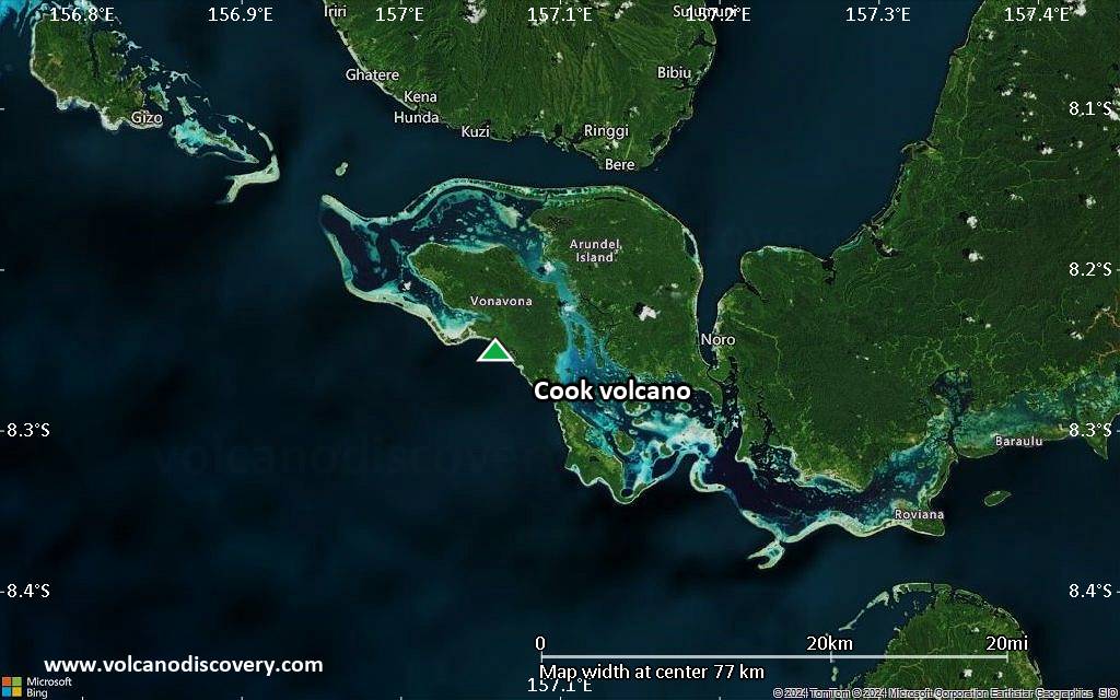
Satellite/aerial-type map of Cook volcano (region scale medium)

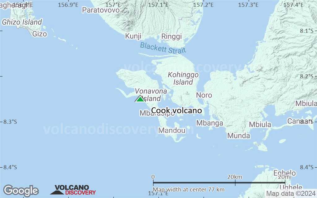
Terrain-type map of Cook volcano (region scale medium)

Satellite/aerial-type map of Cook volcano (region scale small)
Terrain-type map of Cook volcano (region scale small)
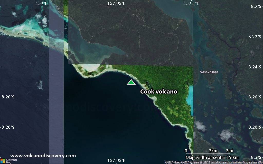
Satellite/aerial-type map of Cook volcano (local scale large)

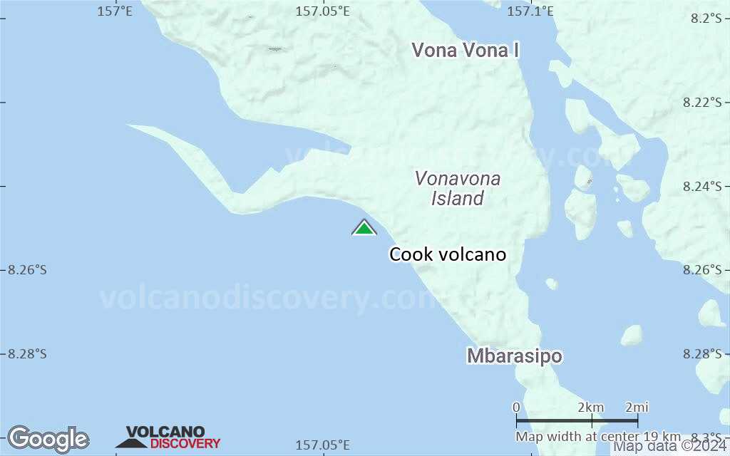
Terrain-type map of Cook volcano (local scale large)
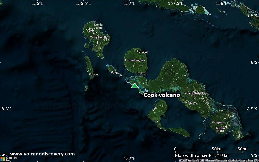
Satellite/aerial-type map of Cook volcano (local scale medium)

Terrain-type map of Cook volcano (local scale medium)
Satellite/aerial-type map of Cook volcano (local scale small)
Terrain-type map of Cook volcano (local scale small)
Satellite/aerial-type map of Cook volcano (scale of 10s of km)
Terrain-type map of Cook volcano (scale of 10s of km)
Satellite/aerial-type map of Cook volcano (scale of 20-40 km)
Terrain-type map of Cook volcano (scale of 20-40 km)
Satellite/aerial-type map of Cook volcano (scale of approx. 10-20 km)
Terrain-type map of Cook volcano (scale of approx. 10-20 km)

Satellite/aerial-type map of Cook volcano (scale of 5-10 km)

Satellite/aerial-type map of Cook volcano (scale of few kilometers)