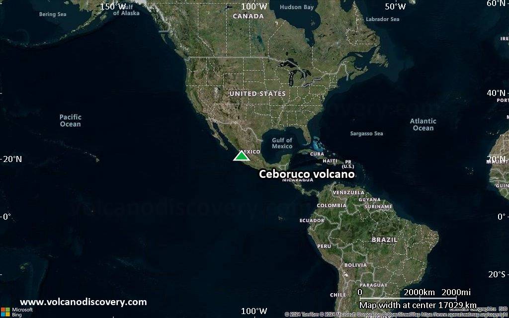
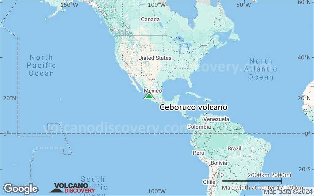
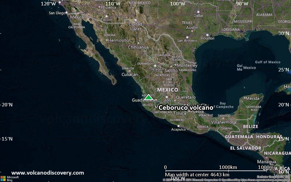
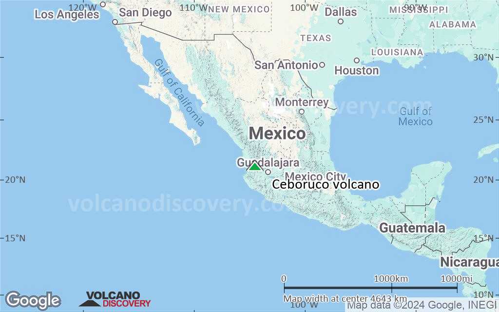
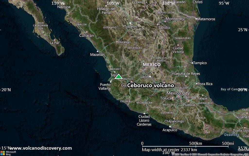
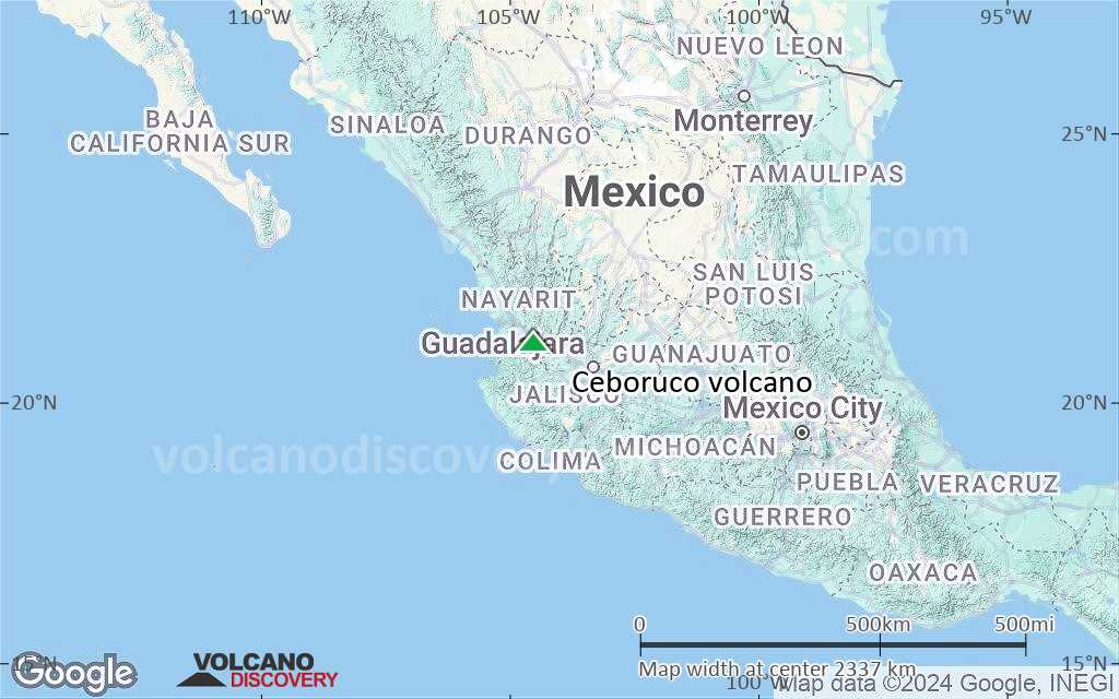
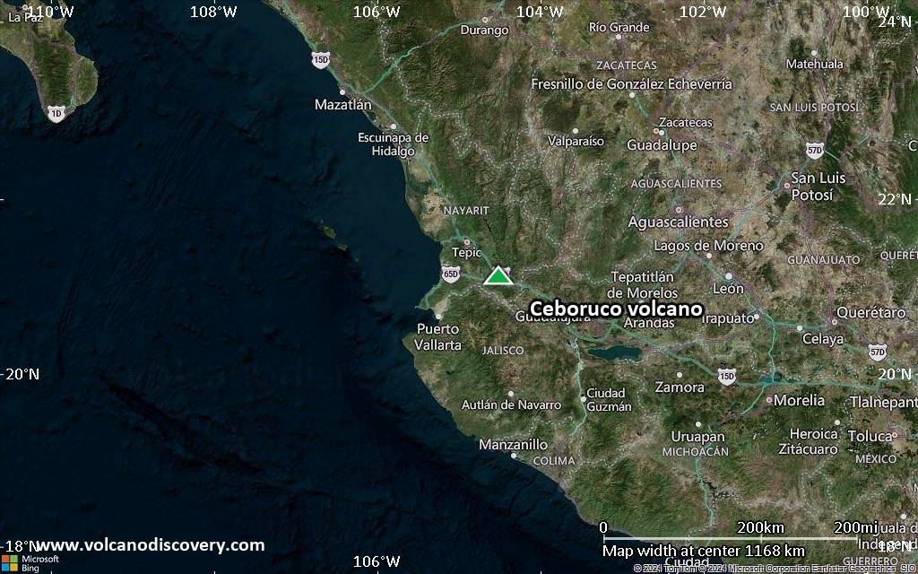
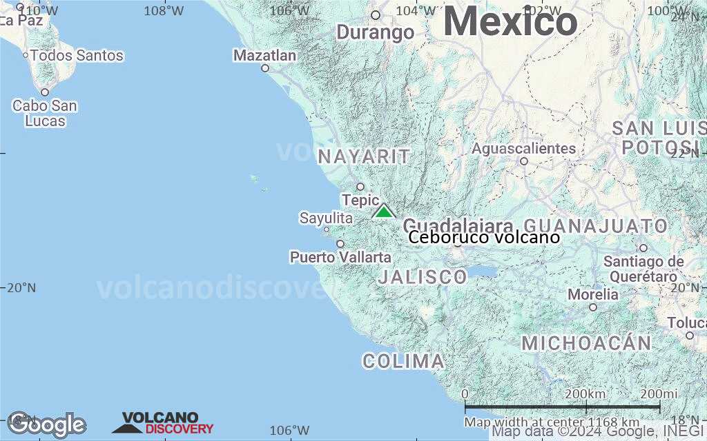
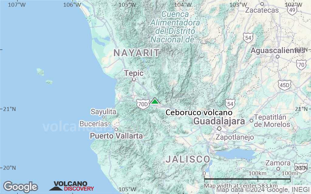
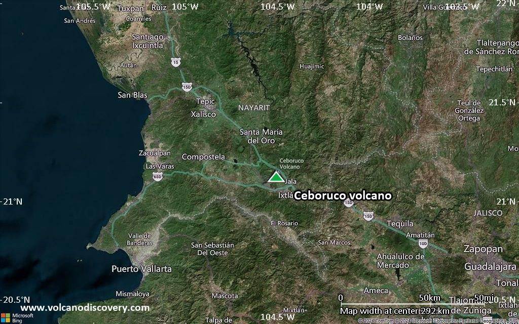
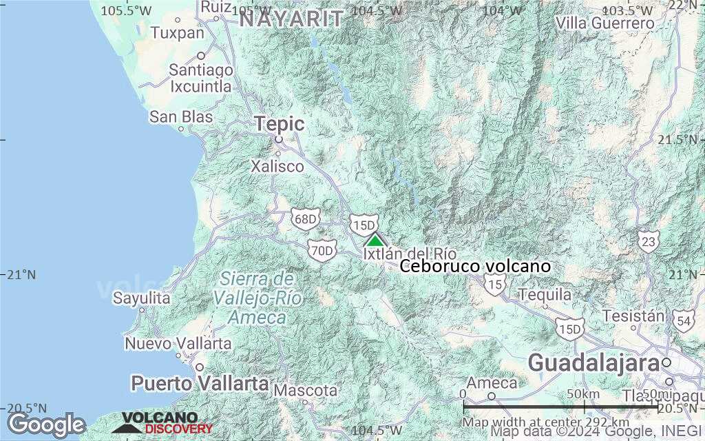
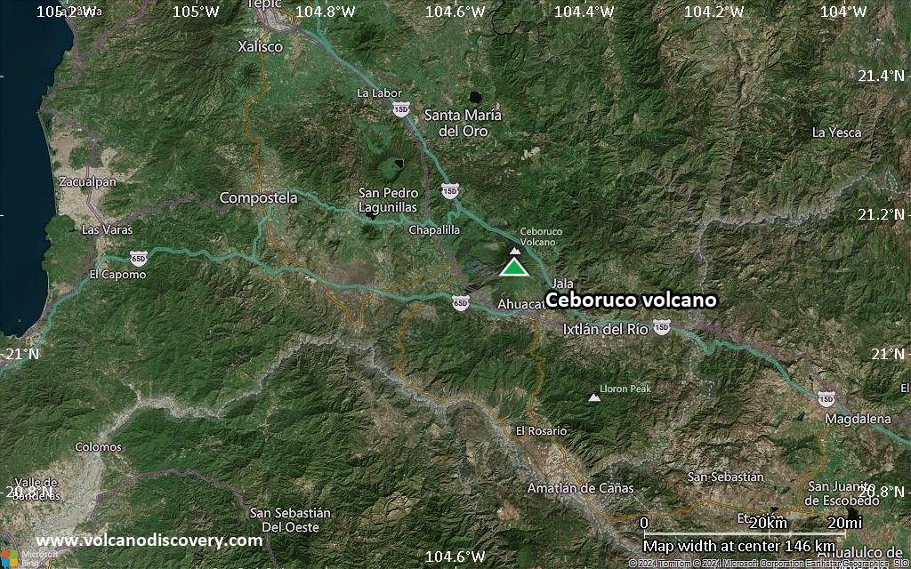
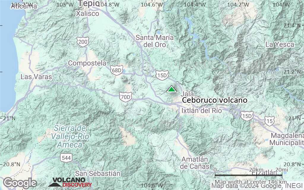
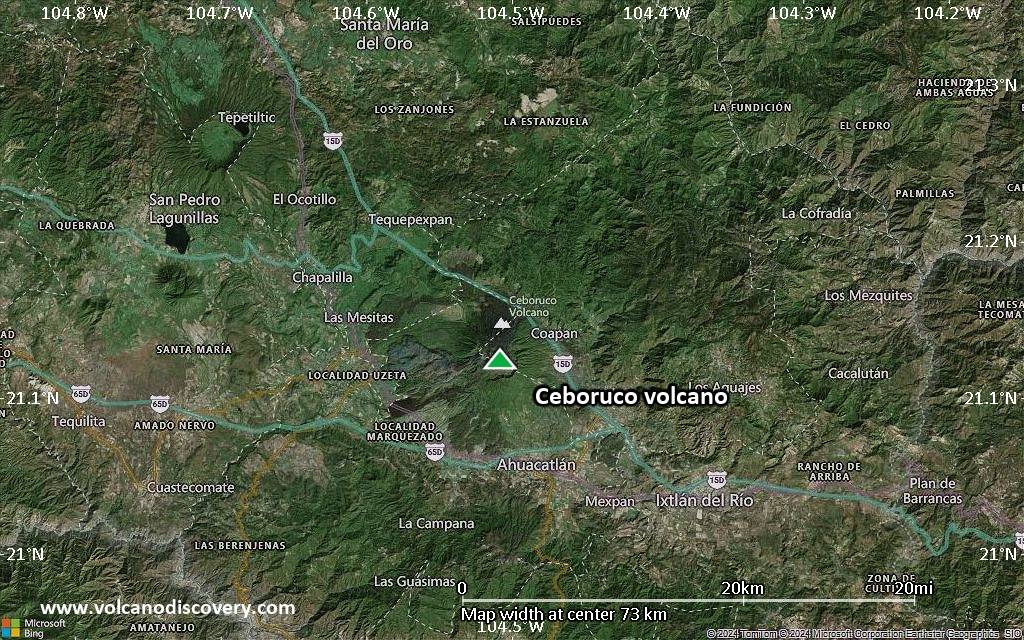
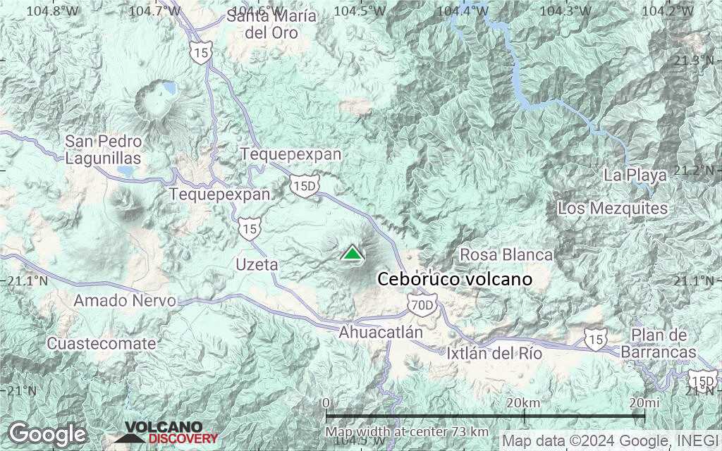
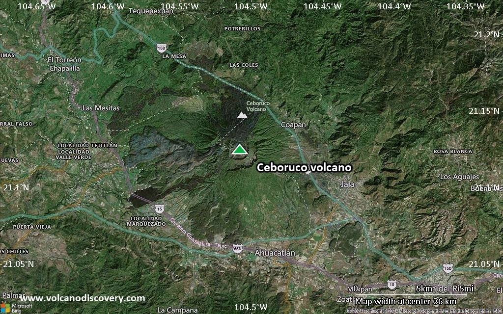
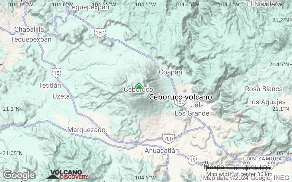
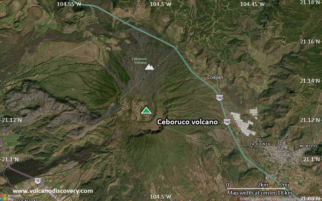
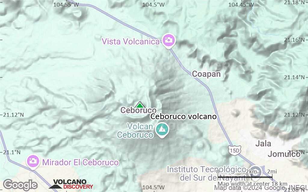
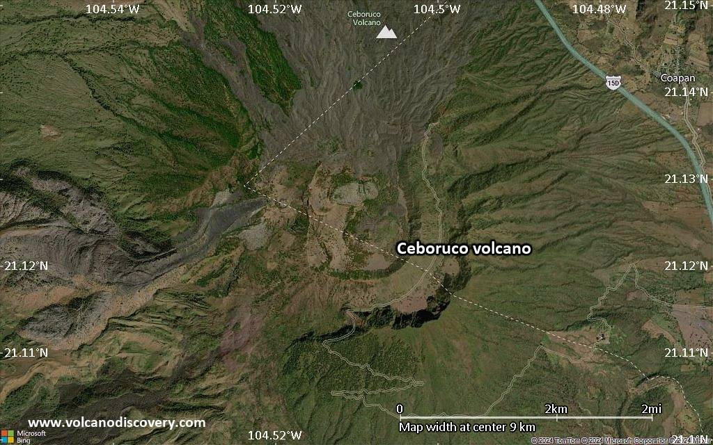
| RSS | EN | DE | EL | ES | FR | IT | RU

Ceboruco Volcano

Updated: Apr 26, 2025 07:36 GMT -
stratovolcano
Western Mexico, 21.13°N / -104.51°W
Summit height: 2280 m / 7,480 ft
Current status: normal or dormant (1 out of 5)

Volcán Ceboruco is the only historically active volcano in the NW part of the Mexican Volcanic Belt. It is located near the triple junction between the North American, Cocos and Pacific tectonic plates.
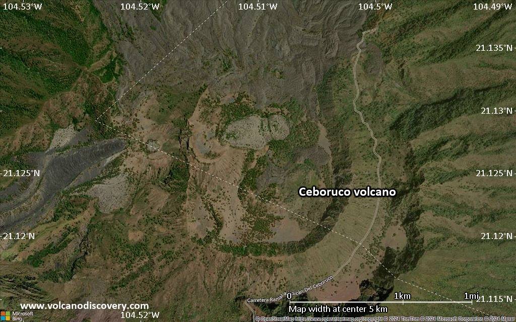
Ceboruco is a complex stratovolcano that rises 1100 m above the flat floor of the NW-SE trending Tepic graben. It is composed primarily of trachydacite to trachyandesite lava flows alternating with tephra deposits, reflecting a complex history of constructive (effusive) and destructive (explosive) phases. It contains about 15 basaltic and andesitic cinder cones and lava flows that erupted along a NW-SE-trending line.
Ceboruco has 2 concentric summit calderas, the outer of which is 4 km in diameter and formed during the major rhyodacitic Jala Pumice eruption about 1000 years ago, which was the largest explosive eruption in Mexico during the past 10,000 years.
The last eruption of Ceboruco took place during 1870-75. Explosive eruptions occurred from a vent on the upper west flank and were followed by the extrusion of a 1.1 cu km dacitic lava flow that covers a large area on the lower western flank.

[smaller] [larger]
Typical eruption style: Effusive and explosive
Ceboruco volcano eruptions: 1870-1875, 1567, 1542

Latest nearby earthquakes

Date and TimeMag / DepthDistance / Location

Background

Geologic history
The evolution of Ceboruco volcano can roughly be divided into 3 phases:
1) Formation of the old stratovolcano (prior to 930 AD ±200 y.ago)
A conical andesitic stratovolcano was built over time and had reached about 2700 m height, about 500 m higher than at present. The prominent Destiladero flow belongs to this period.
This phase ends with the major Jala eruption about 1000 years ago. It destroyed the central and upper part of the volcano and left a 4 km wide Jala caldera.

2) Formation of an intra-caldera dacitic lava dome (around 930 - 1100 AD)
The volcano remained in a state of heightened activity after the plinian Jala eruption. A large dacitic lava dome (called the Dos Equis dome) grew inside the caldera, reaching about 1.7 km diameter and 280 m height, and a volume of approx. 1.3 km3. The lava dome collapsed during the so-called Coapales eruption around 1100 AD, and left a second 1.5 km wide caldera.

3) Andesitic lava domes and lava flows from flank eruptions (1100 AD- present)
After the collapse of the Dos Equis lava dome, eruptions were predominantly from fissure vents on the flanks and the volcano produced again andesitic lava flows. This phase includes the historic activity of Ceboruco. It includes the massive El Norte lava flow, a sparsely vegetated flow that blankets the entire northern flank of the volcano.

Sources:
- Smithsonian / GVP volcano information
- Nelson SA (1980) "Geology and petrology of Volcán Ceboruco, Nayarit, Mexico" Bull Geol Soc Am, v. 91, pp. 2290-2431
- Sieron, K.; Siebe, C. (2008) "Revised stratigraphy and eruption rates of Ceboruco stratovolcano and surrounding monogenetic vents (Nayarit, Mexico) from historical documents and new radiocarbon dates", Journal of Volcanology and Geothermal Research, v176, pp. 241-264

Significant volcanic eruptions: Ceboruco volcano

In the past 10,000 years, Ceboruco has had at least 4 confirmed volcanic eruptions, out of which 3 are documented by historical records, while the others can be inferred from geological evidence.
The table below lists all known eruptions (date in bold face) of Ceboruco volcano in historic times and during the past 10,000 years. Updates on the most recent volcanic activity of Ceboruco can be found on the news page of Ceboruco volcano.
DateNoteVEIDeathsDamage
1870 Feb 21 - 1875Upper west flank
Historical obs./docs.
3
1567 AD
Historical obs./docs.
?
1542 AD
Historical obs./docs.
?
930 AD
(eruption 930 ±200 y. AD)
Historical obs./docs.
6
Info
930 ±200 y. AD6
Remark:
Our list of volcanic eruptions closely follows the database of eruptions of the Smithsonian's Global Volcanism Project (GVP), the internationally most recognized data source for volcanic eruptions, but also includes significant eruptive episodes or related volcano events. "Volcanic eruptions" are usually to be understood as sequences of individual eruptive episodes that can follow each other, or even overlap (if several vents are involved), and can last many years, decades or even longer. For example, the current activity of Stromboli volcano is understood as a single eruption that has been ongoing since 1934.
Sources: NOAA National Centers for Environmental Information (NCEI), Global Significant Volcanic Eruptions Database. doi:10.7289/V5TD9V7K | Global Volcanism Project / Smithsonian Institution

Eruptions of Ceboruco volcano


1870-1875 eruption
The last historic eruption of Ceboruco volcano began on 23 February 1870 from a vent on the upper SW flank. The eruption was fairly large (VEI3) and both explosive and effusive, producing a major lava flow reaching 7.7 km length. ...more info

Ceboruco Volcano FAQ

+When was the last eruption of Ceboruco volcano?

+How often does Ceboruco volcano erupt?

+When was the largest eruption of Ceboruco volcano?

Latest satellite images

Ceboruco satellite image sat1Ceboruco satellite image sat2

Ceboruco Volcano Maps

Below is a selection of maps showing the location and surroundings of the volcano at various resolutions based on aerial-imagery / terrain maps. Feel free to use them for non-commercial purposes on your blog or website as long as you credit them with a link back to this page (click to copy it).
Satellite/aerial-type map of Ceboruco volcano (world scale)
Terrain-type map of Ceboruco volcano (world scale)
Satellite/aerial-type map of Ceboruco volcano (region scale large)
Terrain-type map of Ceboruco volcano (region scale large)
Satellite/aerial-type map of Ceboruco volcano (region scale medium)
Terrain-type map of Ceboruco volcano (region scale medium)
Satellite/aerial-type map of Ceboruco volcano (region scale small)
Terrain-type map of Ceboruco volcano (region scale small)
Satellite/aerial-type map of Ceboruco volcano (local scale large)
Terrain-type map of Ceboruco volcano (local scale large)
Satellite/aerial-type map of Ceboruco volcano (local scale medium)
Terrain-type map of Ceboruco volcano (local scale medium)
Satellite/aerial-type map of Ceboruco volcano (local scale small)
Terrain-type map of Ceboruco volcano (local scale small)
Satellite/aerial-type map of Ceboruco volcano (scale of 10s of km)
Terrain-type map of Ceboruco volcano (scale of 10s of km)
Satellite/aerial-type map of Ceboruco volcano (scale of 20-40 km)
Terrain-type map of Ceboruco volcano (scale of 20-40 km)
Satellite/aerial-type map of Ceboruco volcano (scale of approx. 10-20 km)
Terrain-type map of Ceboruco volcano (scale of approx. 10-20 km)
Satellite/aerial-type map of Ceboruco volcano (scale of 5-10 km)
Satellite/aerial-type map of Ceboruco volcano (scale of few kilometers)
Volcanoes & Earthquakes - new app for Android
Guaranteed tours
9-25 Jun 2025: Volcanoes and Spices - Sulawesi/Halmahera (Indonesia)
27 Jun - 6 Jul 2025: Iceland Volcano Special - Iceland
7-22 Jul 2025: From Krakatau to Bali - Java (Indonesia)
7-23 Jul 2025: Volcanoes and Spices - Sulawesi/Halmahera (Indonesia)
1-17 Aug 2025: Volcanoes and Spices - Sulawesi/Halmahera (Indonesia)
1-14 Oct 2025: Desert, salt and volcanoes - Danakil desert (Ethiopia)
4-12 Oct 2025: From Stromboli to Etna - Sicily and Eolian Islands (Italy)
6-21 Oct 2025: From Krakatau to Bali - Java (Indonesia)
3-19 Nov 2025: Volcanoes and Spices - Sulawesi/Halmahera (Indonesia)
= spaces available   = guaranteed   = few spaces left   = booked out

No news in this list.

On this page:

Try our free app!
Volcanoes & Earthquakes - new app for Android
Android | iOS version

More on VolcanoDiscovery

Why is there advertising on this site?

Support us - Help us upgrade our services!

We truly love working to bring you the latest volcano and earthquake data from around the world. Maintaining our website and our free apps does require, however, considerable time and resources.
We need financing to increase hard- and software capacity as well as support our editor team. We're aiming to achieve uninterrupted service wherever an earthquake or volcano eruption unfolds, and your donations can make it happen! Every donation will be highly appreciated. If you find the information useful and would like to support our team in integrating further features, write great content, and in upgrading our soft- and hardware, please make a donation (PayPal).

Planned features:Thanks to your past donations, these features have been added recently:
Download and Upgrade the Volcanoes & Earthquakes app to get one of the fastest seismic and volcano alerts online:
Android | IOS
Thank you!
Sources: VolcanoDiscovery / VolcanoAdventures and other sources as noted.
Use of material: Most text and images on our websites are owned by us. Re-use is generally not permitted without authorization. Contact us for licensing rights.
Volcanoes & Earthquakes
VolcanoDiscovery Home
Volcanoes | Earthquakes | Photos | Volcano News | | Shop | App
Adventure & Study Travel
Tours to Volcanoes and Volcanic Areas: walking tours, photo tours, study tours
Tours & Dates | FAQ | About us
Get our newsletter!
Company info
Contact | Legal info | Terms & conditions
Follow us
Follow us on facebook Follow us on Instagram Follow us on Bluesky Follow us on Twitter Visit our Youtube channel
EN | DE | EL | ES | FR | IT | RU
VolcanoDiscovery GmbH, Germany, Reg. nr.: HRB 103744, EU Tax Id: DE 297 465 123 owned and created by
Dr. Tom Pfeiffer, volcanologist, volcano photographer, tour organizer member of
IAVCEI
IAVCEI
Vulkanologische Gesellschaft
Volcanological Society
Ecotourism Greece
Ecotourism Greece
RUV insurance
Insured by R+V
VolcanoDiscovery © 2004- All Rights Reserved | Privacy - Cookie Settings