| RSS | EN | DE | EL | ES | FR | IT | RU

Buldir Volcano

Updated: Apr 22, 2025 05:18 GMT -
Stratovolcano
United States, Aleutian Islands, 52.35°N / 175.91°E
Summit height: 656 m / 2,152 ft
Current status: normal or dormant (1 out of 5)

[smaller] [larger]
Typical eruption style: unspecified
Buldir volcano eruptions: unknown, no recent eruptions

Latest nearby earthquakes

Date and TimeMag / DepthDistance / Location

Background

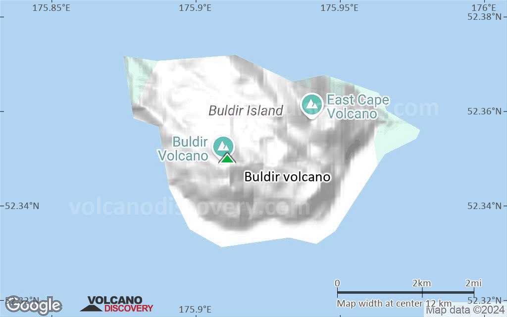
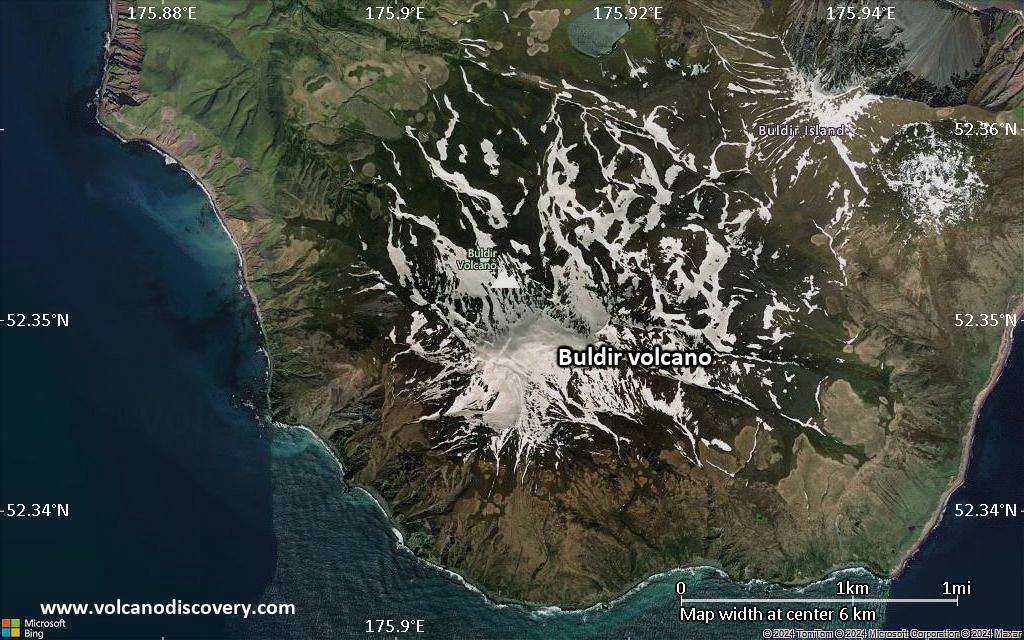
The westernmost volcanic center of the 2500-km-long Aleutian arc, Buldir consists of the older Buldir volcano at the center of the island and the younger East Cape volcano forming the NE portion of the island. The 656 m high point of the island is a tuff cone that tops the older center. A plug dome forms the 610-m-high summit of East Cape volcano, which has two principal peaks. The youngest volcanic feature on the isolated, 4.2 x 7.2 km island is a lava dome on the SE flank of East Cape volcano. The dome was considered by Coats (1951) to be of Pleistocene age based on morphologic considerations. Smith and Shaw (1975) suggested that the volcano may have been active within the last two thousand years, however, Holocene activity is uncertain, and the volcano may have ceased activity during the Pleistocene (Motyka et al. 1993, Nye et al. 1998). The flora on Buldir is less varied than on neighboring islands, suggesting that Buldir is relatively young.
---
Smithsonian / GVP volcano information

Latest satellite images

buldir satellite image sat1buldir satellite image sat2

Buldir Volcano Maps

Below is a selection of maps showing the location and surroundings of the volcano at various resolutions based on aerial-imagery / terrain maps. Feel free to use them for non-commercial purposes on your blog or website as long as you credit them with a link back to this page (click to copy it).
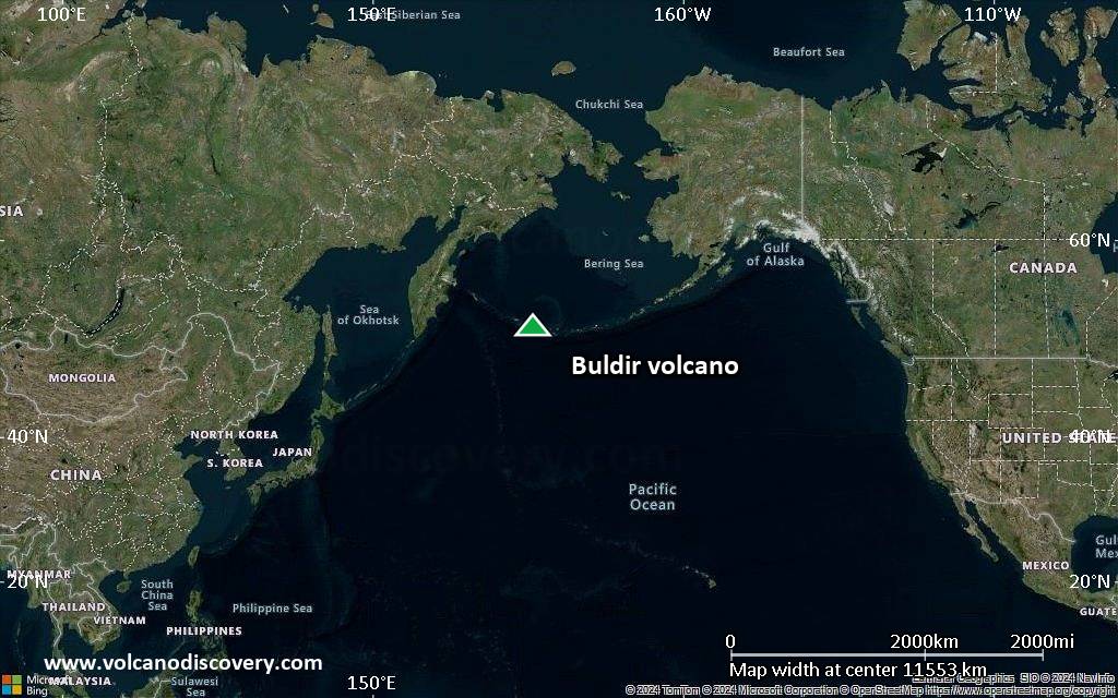
Satellite/aerial-type map of Buldir volcano (world scale)
Terrain-type map of Buldir volcano (world scale)
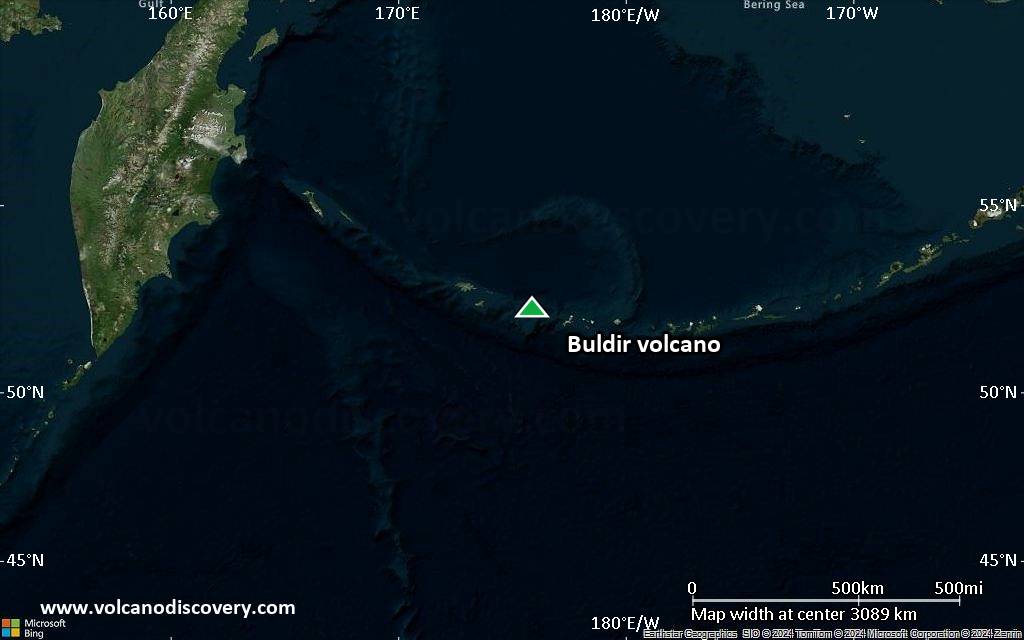
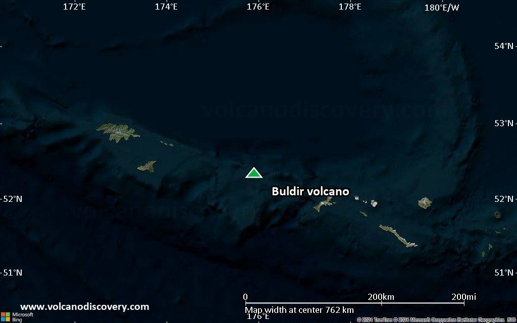
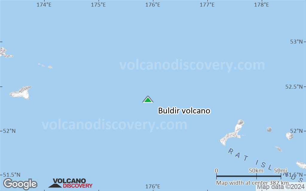
Satellite/aerial-type map of Buldir volcano (region scale large)
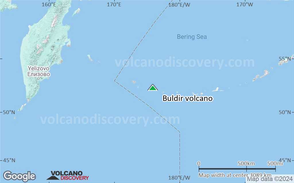
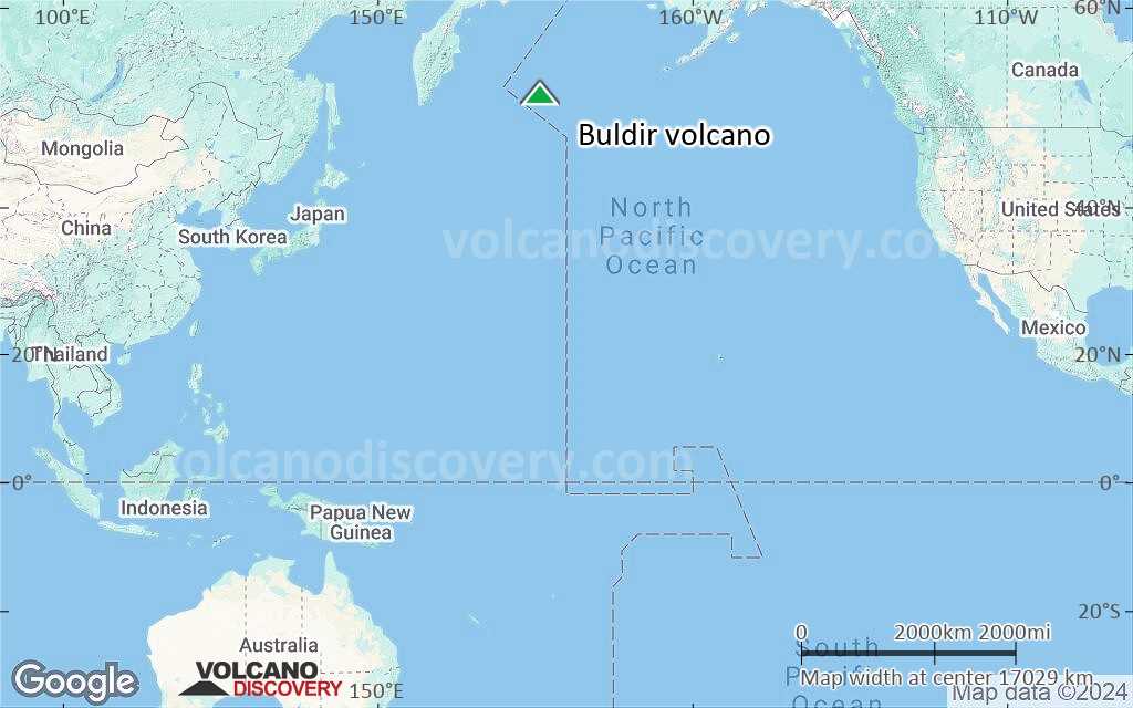
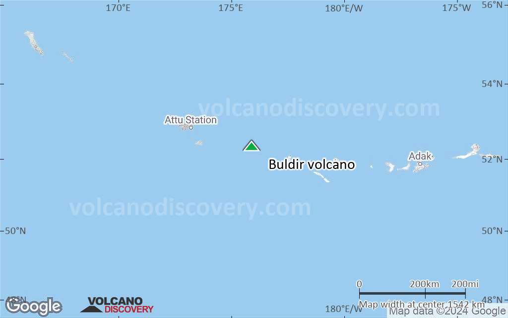
Terrain-type map of Buldir volcano (region scale large)
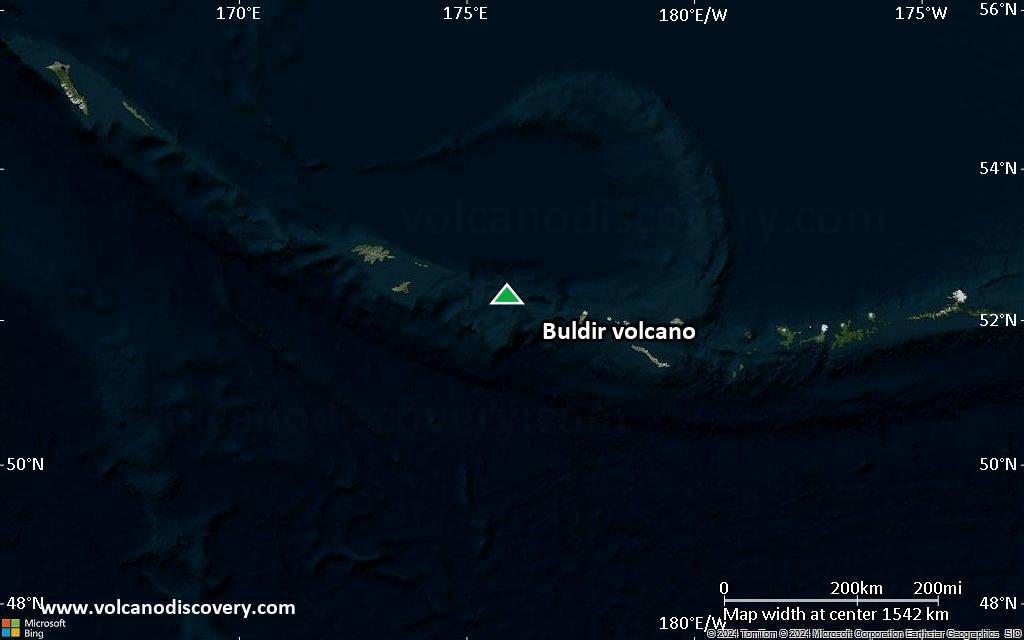
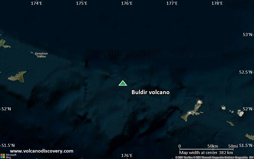
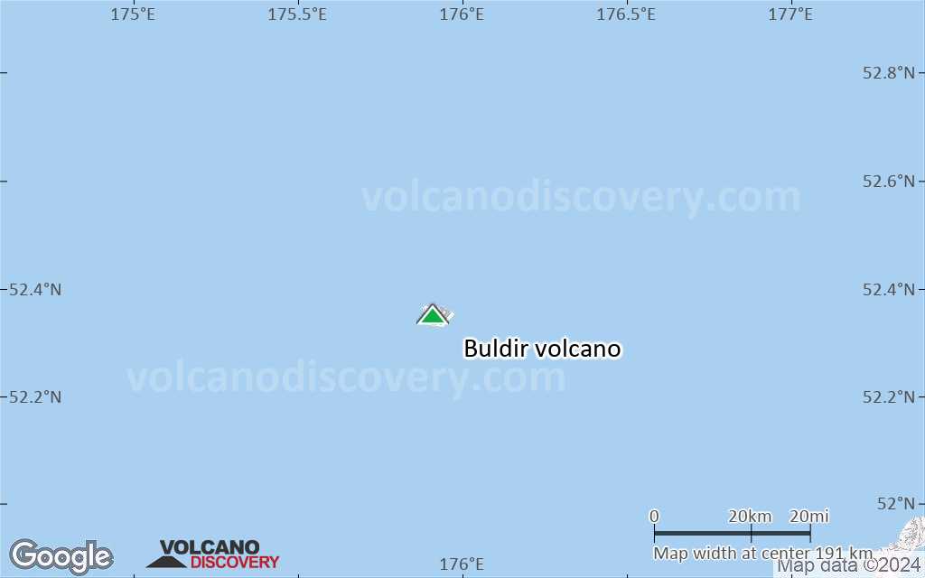
Satellite/aerial-type map of Buldir volcano (region scale medium)
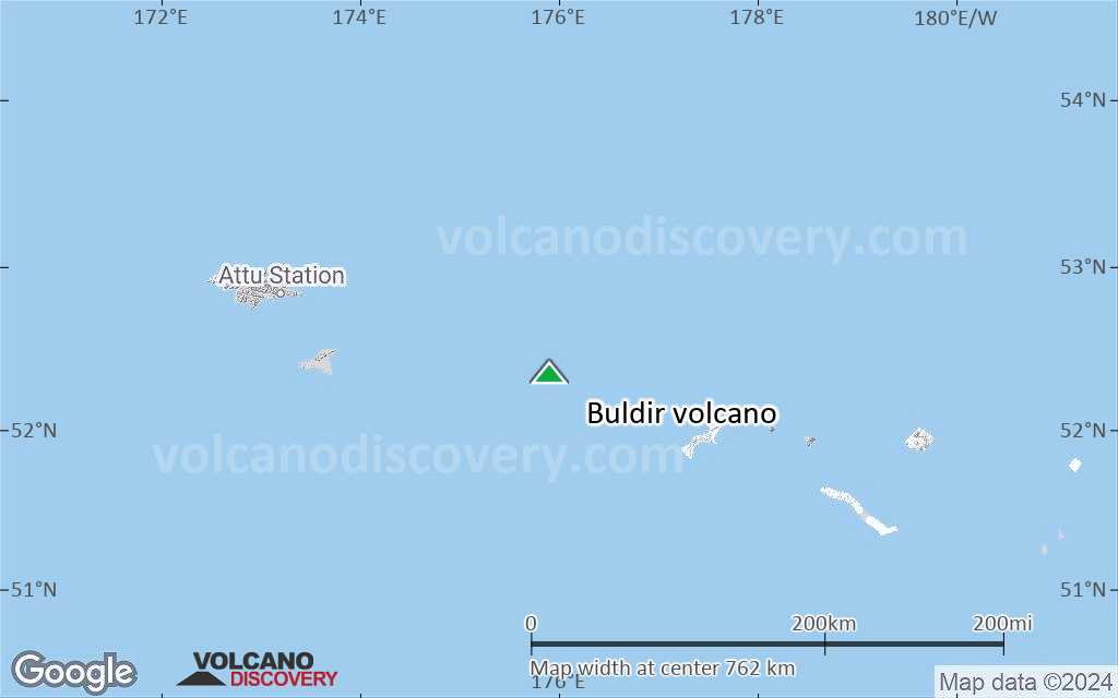
Terrain-type map of Buldir volcano (region scale medium)
Satellite/aerial-type map of Buldir volcano (region scale small)
Terrain-type map of Buldir volcano (region scale small)
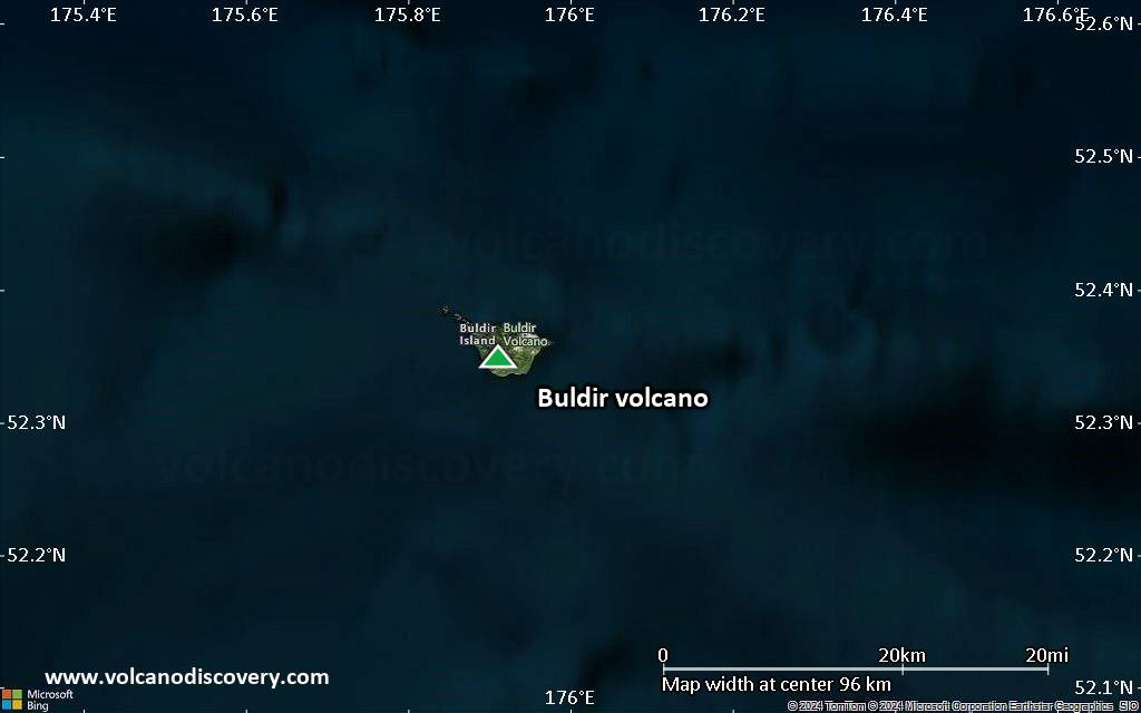
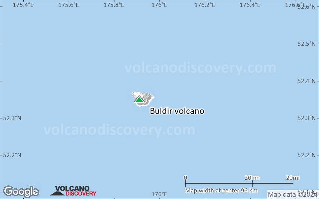
Satellite/aerial-type map of Buldir volcano (local scale large)
Terrain-type map of Buldir volcano (local scale large)
Satellite/aerial-type map of Buldir volcano (local scale medium)
Terrain-type map of Buldir volcano (local scale medium)
Satellite/aerial-type map of Buldir volcano (local scale small)
Terrain-type map of Buldir volcano (local scale small)
Satellite/aerial-type map of Buldir volcano (scale of 10s of km)
Terrain-type map of Buldir volcano (scale of 10s of km)
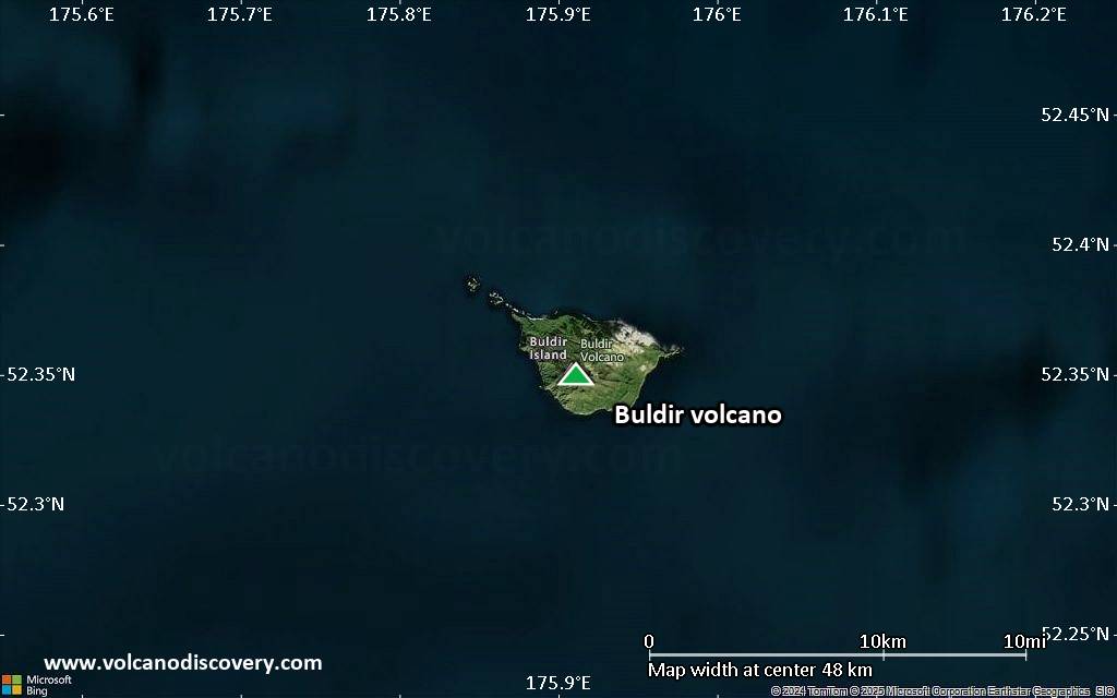
Satellite/aerial-type map of Buldir volcano (scale of 20-40 km)
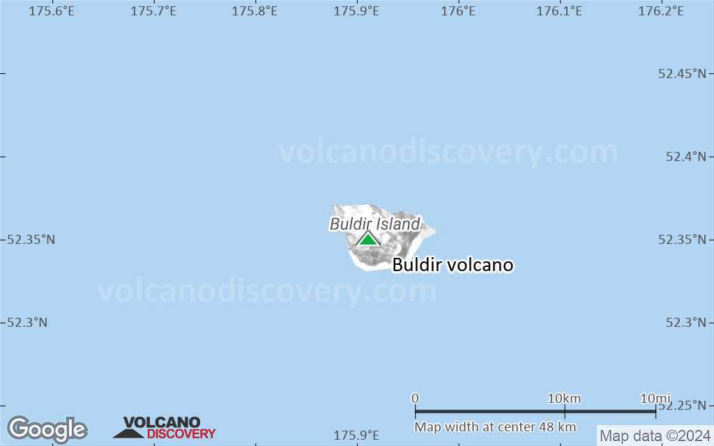
Terrain-type map of Buldir volcano (scale of 20-40 km)
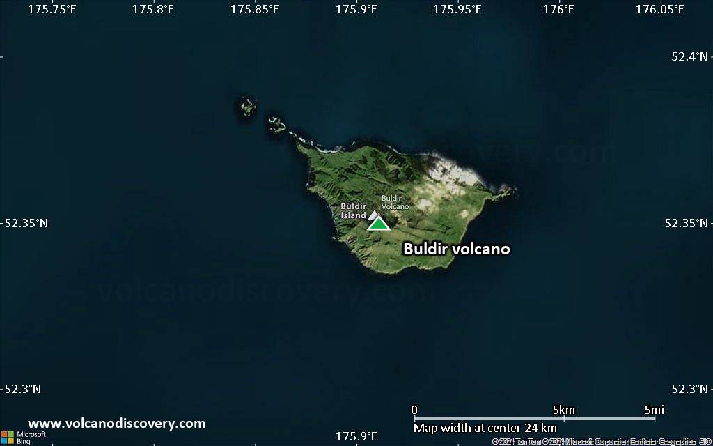
Satellite/aerial-type map of Buldir volcano (scale of approx. 10-20 km)
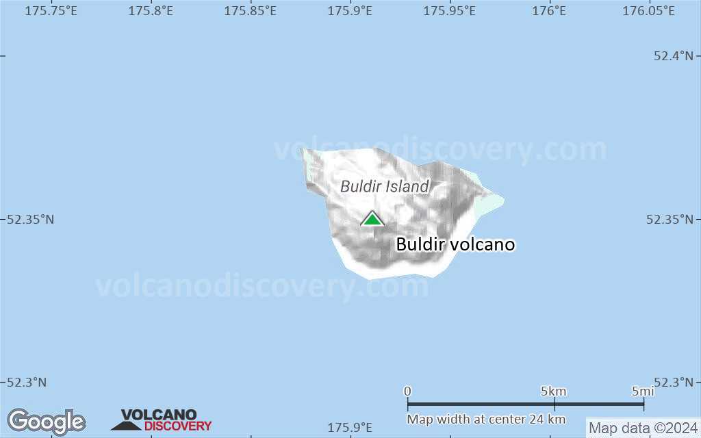
Terrain-type map of Buldir volcano (scale of approx. 10-20 km)
Satellite/aerial-type map of Buldir volcano (scale of 5-10 km)
Satellite/aerial-type map of Buldir volcano (scale of few kilometers)
Volcanoes & Earthquakes - new app for Android
Guaranteed tours
9-25 Jun 2025: Volcanoes and Spices - Sulawesi/Halmahera (Indonesia)
27 Jun - 6 Jul 2025: Iceland Volcano Special - Iceland
7-23 Jul 2025: Volcanoes and Spices - Sulawesi/Halmahera (Indonesia)
1-17 Aug 2025: Volcanoes and Spices - Sulawesi/Halmahera (Indonesia)
1-14 Oct 2025: Desert, salt and volcanoes - Danakil desert (Ethiopia)
4-12 Oct 2025: From Stromboli to Etna - Sicily and Eolian Islands (Italy)
3-19 Nov 2025: Volcanoes and Spices - Sulawesi/Halmahera (Indonesia)
= spaces available   = guaranteed   = few spaces left   = booked out

No news in this list.

On this page:

Try our free app!
Volcanoes & Earthquakes - new app for Android
Android | iOS version

More on VolcanoDiscovery

Why is there advertising on this site?

Support us - Help us upgrade our services!

We truly love working to bring you the latest volcano and earthquake data from around the world. Maintaining our website and our free apps does require, however, considerable time and resources.
We need financing to increase hard- and software capacity as well as support our editor team. We're aiming to achieve uninterrupted service wherever an earthquake or volcano eruption unfolds, and your donations can make it happen! Every donation will be highly appreciated. If you find the information useful and would like to support our team in integrating further features, write great content, and in upgrading our soft- and hardware, please make a donation (PayPal).

Planned features:Thanks to your past donations, these features have been added recently:
Download and Upgrade the Volcanoes & Earthquakes app to get one of the fastest seismic and volcano alerts online:
Android | IOS
Thank you!
Sources: VolcanoDiscovery / VolcanoAdventures and other sources as noted.
Use of material: Most text and images on our websites are owned by us. Re-use is generally not permitted without authorization. Contact us for licensing rights.
Volcanoes & Earthquakes
VolcanoDiscovery Home
Volcanoes | Earthquakes | Photos | Volcano News | | Shop | App
Adventure & Study Travel
Tours to Volcanoes and Volcanic Areas: walking tours, photo tours, study tours
Tours & Dates | FAQ | About us
Get our newsletter!
Company info
Contact | Legal info | Terms & conditions
Follow us
Follow us on facebook Follow us on Instagram Follow us on Bluesky Follow us on Twitter Visit our Youtube channel
EN | DE | EL | ES | FR | IT | RU
VolcanoDiscovery GmbH, Germany, Reg. nr.: HRB 103744, EU Tax Id: DE 297 465 123 owned and created by
Dr. Tom Pfeiffer, volcanologist, volcano photographer, tour organizer member of
IAVCEI
IAVCEI
Vulkanologische Gesellschaft
Volcanological Society
Ecotourism Greece
Ecotourism Greece
RUV insurance
Insured by R+V
VolcanoDiscovery © 2004- All Rights Reserved | Privacy - Cookie Settings