| RSS | EN | DE | EL | ES | FR | IT | RU

Bosavi Volcano

Updated: Apr 30, 2025 03:46 GMT -
stratovolcano
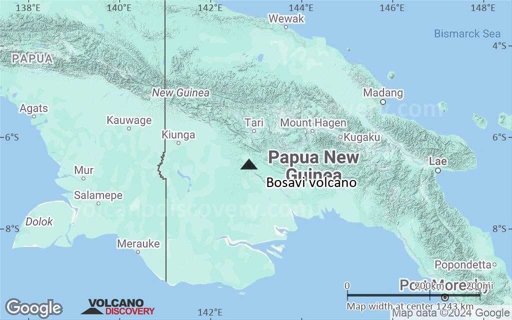
New Guinea (Papua New Guinea), -6.6°S / 142.85°E
Summit height: 2507 m / 8,225 ft
Current status: (probably) extinct (0 out of 5)

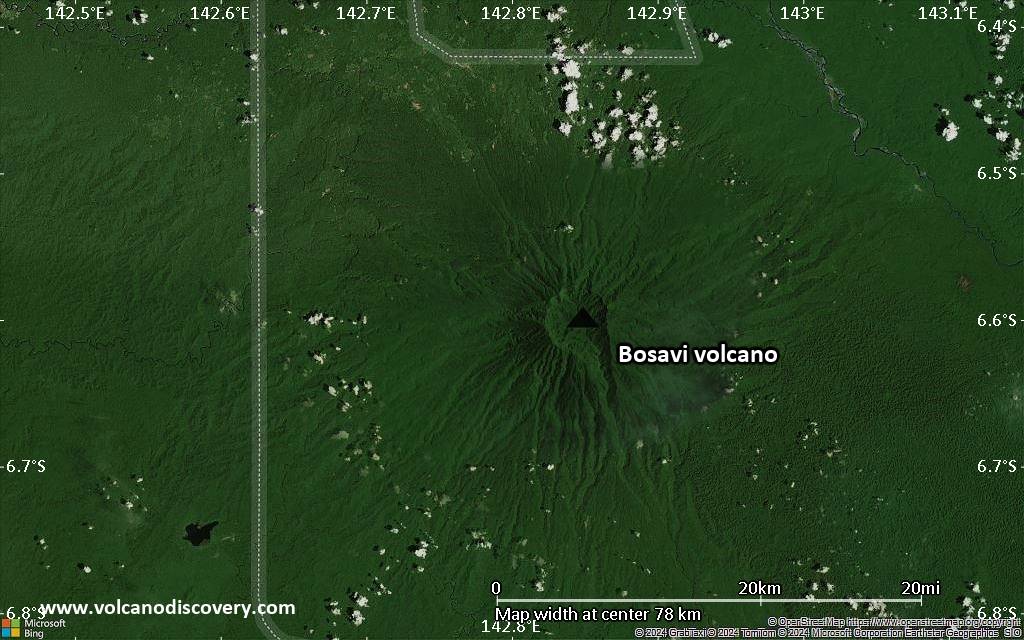
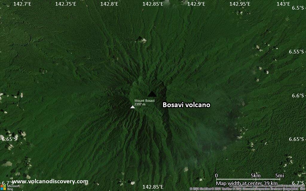
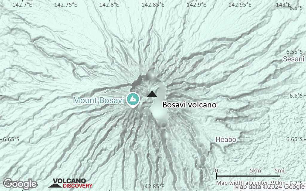
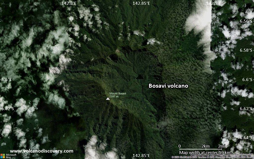
Mount Bosavi is an extinct volcano in a remote part of the Highlands of Papua New Guinea. Mount Bosavi is actually the collapsed cone of an extinct volcano on the Great Papuan Plateau, part of the Kikori River basin. Its caldera is approximately 4 km wide and 1 km deep. Bosavi is home to a number of unique species.
The volcano is partly located in the Sulamesi Wildlife Management Area, which was declared in 2006. The mountain with its deep crater are so inaccessible that even the few local people in the Kasua tribe who live in nearby villages rarely visit the area.

[smaller] [larger]
Typical eruption style: unknown
Bosavi volcano eruptions: ca. 500,000 years ago

Latest nearby earthquakes

Date and TimeMag / DepthDistance / Location

Background

The people living just north of the mountain refer to themselves as Bosavi kalu (people of Bosavi) and divide into four culturally identical but linguistically marked groups, the Kaluli, Ologo, Walulu, and Wisesi. Collectively they are often referred to as Bosavi kalu.
The Kauli people have custom stories which remember the ash fall from the great 1660 AD eruption of Long Island volcano 500 km to the NE. The Bosavi people also report that the explosion of Long Island could be heard.
---
Sources: Wikipedia, "The Lost Land of the Volcano" (BBC documentary)

Latest satellite images

Bosavi satellite image sat1Bosavi satellite image sat2

Bosavi Volcano Maps

Below is a selection of maps showing the location and surroundings of the volcano at various resolutions based on aerial-imagery / terrain maps. Feel free to use them for non-commercial purposes on your blog or website as long as you credit them with a link back to this page (click to copy it).
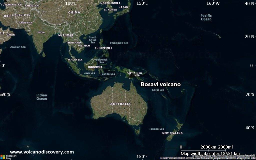
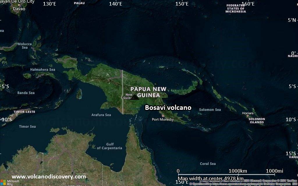
Satellite/aerial-type map of Bosavi volcano (world scale)
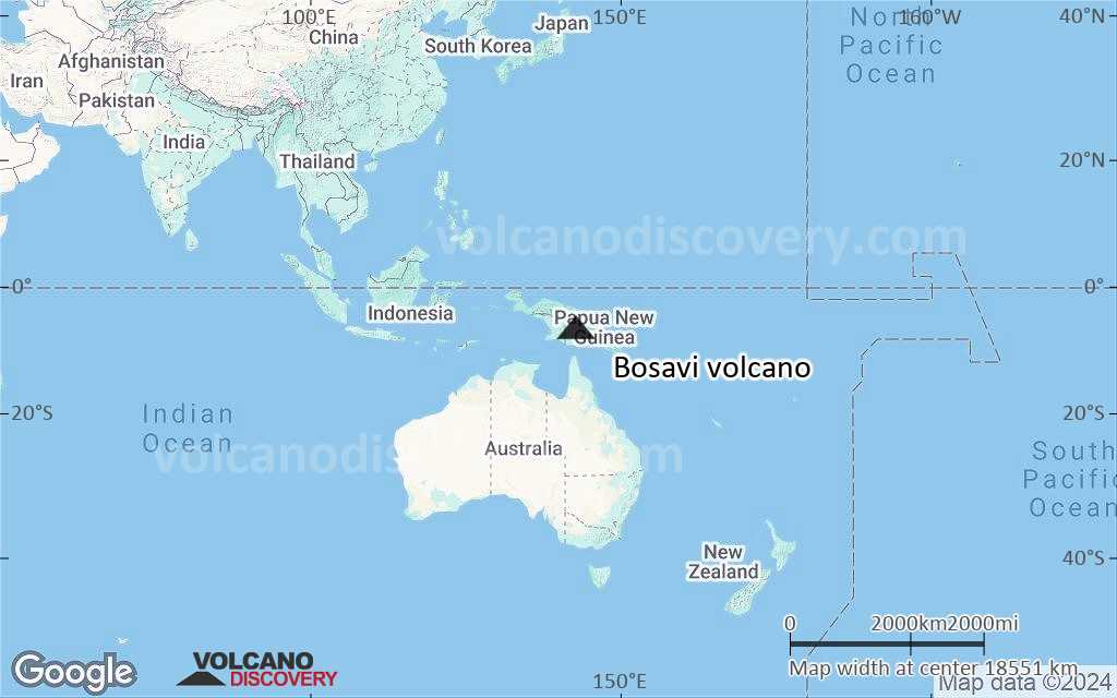
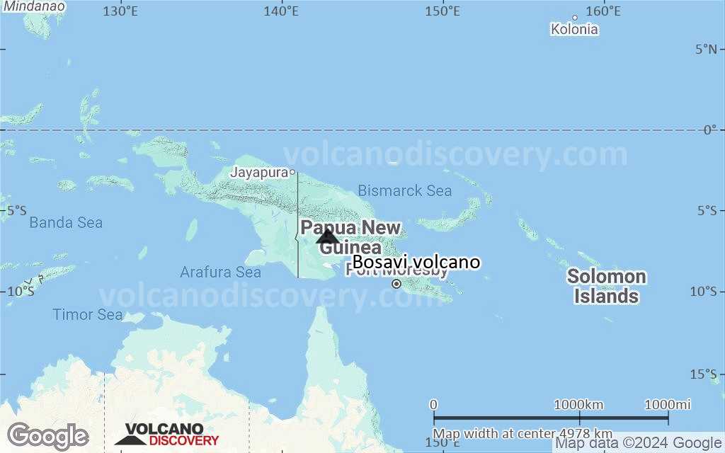
Terrain-type map of Bosavi volcano (world scale)
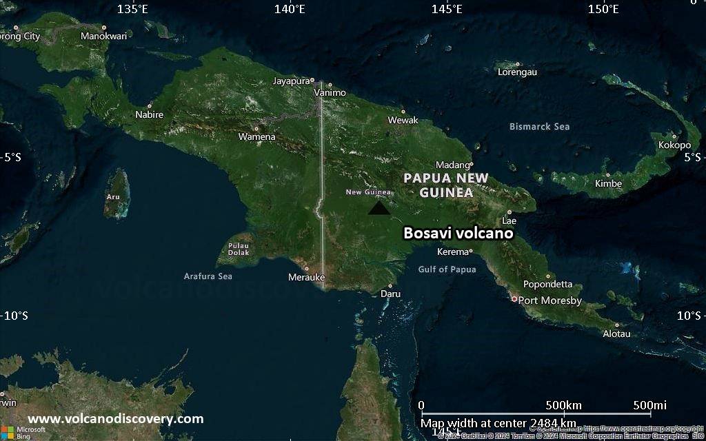
Satellite/aerial-type map of Bosavi volcano (region scale large)
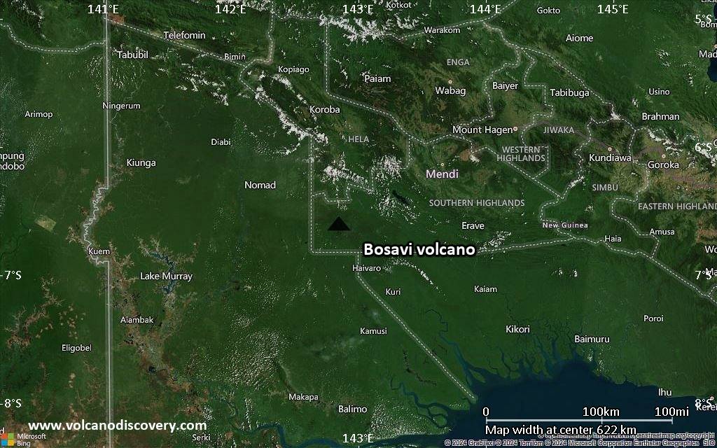
Terrain-type map of Bosavi volcano (region scale large)
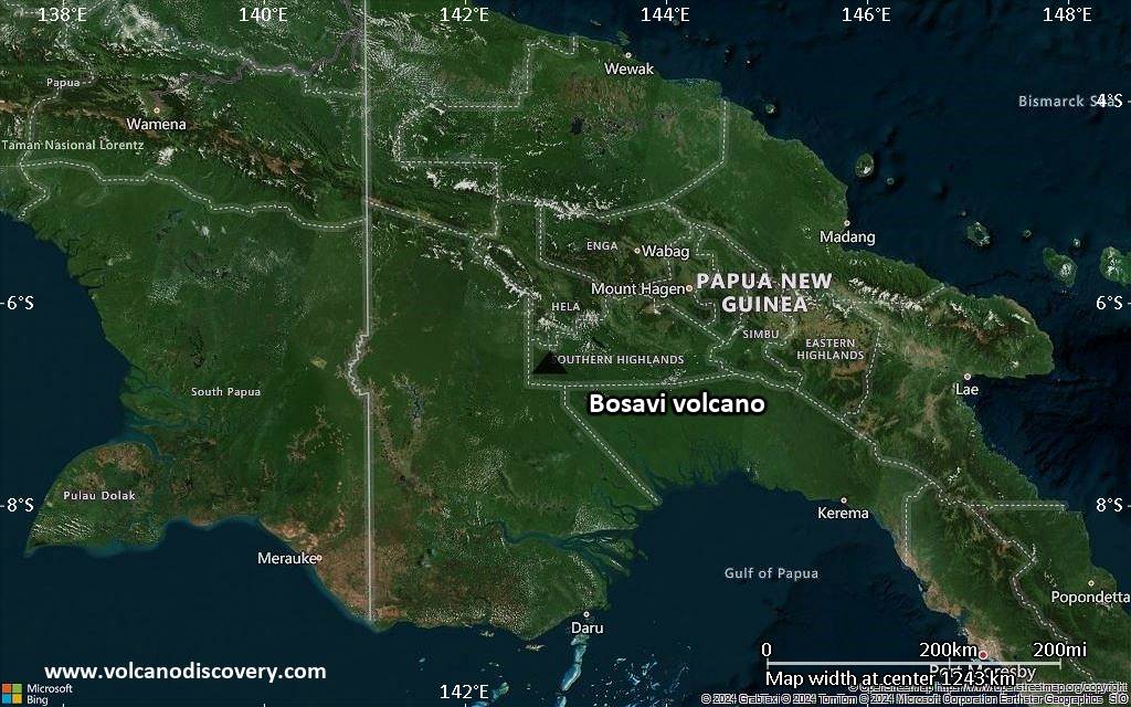
Satellite/aerial-type map of Bosavi volcano (region scale medium)
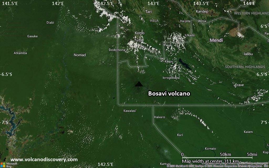
Terrain-type map of Bosavi volcano (region scale medium)
Satellite/aerial-type map of Bosavi volcano (region scale small)
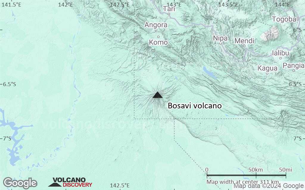
Terrain-type map of Bosavi volcano (region scale small)
Satellite/aerial-type map of Bosavi volcano (local scale large)
Terrain-type map of Bosavi volcano (local scale large)
Satellite/aerial-type map of Bosavi volcano (local scale medium)
Terrain-type map of Bosavi volcano (local scale medium)
Satellite/aerial-type map of Bosavi volcano (local scale small)
Terrain-type map of Bosavi volcano (local scale small)
Satellite/aerial-type map of Bosavi volcano (scale of 10s of km)
Terrain-type map of Bosavi volcano (scale of 10s of km)
Satellite/aerial-type map of Bosavi volcano (scale of 20-40 km)
Terrain-type map of Bosavi volcano (scale of 20-40 km)
Satellite/aerial-type map of Bosavi volcano (scale of approx. 10-20 km)
Terrain-type map of Bosavi volcano (scale of approx. 10-20 km)
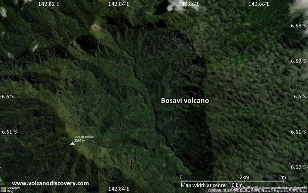
Satellite/aerial-type map of Bosavi volcano (scale of 5-10 km)
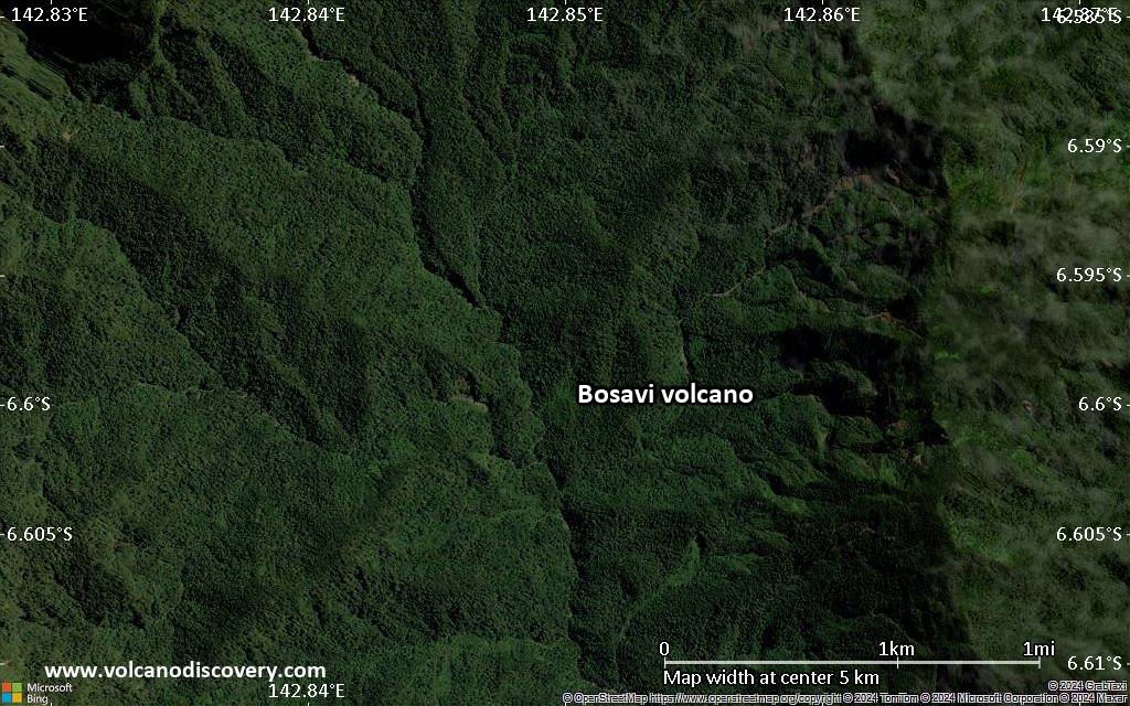
Satellite/aerial-type map of Bosavi volcano (scale of few kilometers)
Volcanoes & Earthquakes - new app for Android
Guaranteed tours
9-25 Jun 2025: Volcanoes and Spices - Sulawesi/Halmahera (Indonesia)
7-22 Jul 2025: From Krakatau to Bali - Java (Indonesia)
7-23 Jul 2025: Volcanoes and Spices - Sulawesi/Halmahera (Indonesia)
1-17 Aug 2025: Volcanoes and Spices - Sulawesi/Halmahera (Indonesia)
1-14 Oct 2025: Desert, salt and volcanoes - Danakil desert (Ethiopia)
4-12 Oct 2025: From Stromboli to Etna - Sicily and Eolian Islands (Italy)
6-21 Oct 2025: From Krakatau to Bali - Java (Indonesia)
3-19 Nov 2025: Volcanoes and Spices - Sulawesi/Halmahera (Indonesia)
= spaces available   = guaranteed   = few spaces left   = booked out

No news in this list.

On this page:

Try our free app!
Volcanoes & Earthquakes - new app for Android
Android | iOS version

More on VolcanoDiscovery

Why is there advertising on this site?

Support us - Help us upgrade our services!

We truly love working to bring you the latest volcano and earthquake data from around the world. Maintaining our website and our free apps does require, however, considerable time and resources.
We need financing to increase hard- and software capacity as well as support our editor team. We're aiming to achieve uninterrupted service wherever an earthquake or volcano eruption unfolds, and your donations can make it happen! Every donation will be highly appreciated. If you find the information useful and would like to support our team in integrating further features, write great content, and in upgrading our soft- and hardware, please make a donation (PayPal).

Planned features:Thanks to your past donations, these features have been added recently:
Download and Upgrade the Volcanoes & Earthquakes app to get one of the fastest seismic and volcano alerts online:
Android | IOS
Thank you!
Sources: VolcanoDiscovery / VolcanoAdventures and other sources as noted.
Use of material: Most text and images on our websites are owned by us. Re-use is generally not permitted without authorization. Contact us for licensing rights.
Volcanoes & Earthquakes
VolcanoDiscovery Home
Volcanoes | Earthquakes | Photos | Volcano News | | Shop | App
Adventure & Study Travel
Tours to Volcanoes and Volcanic Areas: walking tours, photo tours, study tours
Tours & Dates | FAQ | About us
Get our newsletter!
Company info
Contact | Legal info | Terms & conditions
Follow us
Follow us on facebook Follow us on Instagram Follow us on Bluesky Follow us on Twitter Visit our Youtube channel
EN | DE | EL | ES | FR | IT | RU
VolcanoDiscovery GmbH, Germany, Reg. nr.: HRB 103744, EU Tax Id: DE 297 465 123 owned and created by
Dr. Tom Pfeiffer, volcanologist, volcano photographer, tour organizer member of
IAVCEI
IAVCEI
Vulkanologische Gesellschaft
Volcanological Society
Ecotourism Greece
Ecotourism Greece
RUV insurance
Insured by R+V
VolcanoDiscovery © 2004- All Rights Reserved | Privacy - Cookie Settings