Amasing Volcano
Updated: Apr 6, 2025 05:19 GMT - 1 hour 16 minutes ago refresh
stratovolcano
Halmahera (Indonesia), -0.53°S / 127.48°E 
Summit height: 1030 m / 3,379 ft
Current status: (probably) extinct (0 out of 5)
Amasing volcano lies off the southern coast of Halmahera Island, Indonesia, on the small island of Bacan (Palau Batjan). Bukit Amasing (Amasing Hill) is the largest and NW most of 3 small andesitic volcanoes, the other two being Cakasuanggi and Dua Saundara. No recent activity is know from Amasing, and the volcanic edifice is strongly eroded, suggesting it might be extinct.
[smaller] [larger]
Amasing volcano eruptions: none in historic time
Latest nearby earthquakes
| Date and Time | Mag / Depth | Distance / Location | |||
|---|---|---|---|---|---|
| Mar 27, 01:15 pm (Jayapura) 10 days ago | 4.1 65 km | 17 km (10.7 mi) to the SW | Info | ||
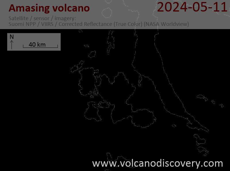
Latest satellite images

Amasing Volcano Maps
Below is a selection of maps showing the location and surroundings of the volcano at various resolutions based on aerial-imagery / terrain maps. Feel free to use them for non-commercial purposes on your blog or website as long as you credit them with a link back to this page (click to copy it).

Satellite/aerial-type map of Amasing volcano (world scale)

Terrain-type map of Amasing volcano (world scale)

Satellite/aerial-type map of Amasing volcano (region scale large)

Terrain-type map of Amasing volcano (region scale large)

Satellite/aerial-type map of Amasing volcano (region scale medium)

Terrain-type map of Amasing volcano (region scale medium)

Satellite/aerial-type map of Amasing volcano (region scale small)

Terrain-type map of Amasing volcano (region scale small)

Satellite/aerial-type map of Amasing volcano (local scale large)

Terrain-type map of Amasing volcano (local scale large)

Satellite/aerial-type map of Amasing volcano (local scale medium)

Terrain-type map of Amasing volcano (local scale medium)

Satellite/aerial-type map of Amasing volcano (local scale small)

Terrain-type map of Amasing volcano (local scale small)

Satellite/aerial-type map of Amasing volcano (scale of 10s of km)

Terrain-type map of Amasing volcano (scale of 10s of km)

Satellite/aerial-type map of Amasing volcano (scale of 20-40 km)

Terrain-type map of Amasing volcano (scale of 20-40 km)

Satellite/aerial-type map of Amasing volcano (scale of approx. 10-20 km)

Terrain-type map of Amasing volcano (scale of approx. 10-20 km)

Satellite/aerial-type map of Amasing volcano (scale of 5-10 km)

Satellite/aerial-type map of Amasing volcano (scale of few kilometers)