


Tobaru Vulkan
Updated: 22. Apr. 2025 14:11 GMT -
stratovolcano
Halmahera (Indonesien), 1.63°N / 127.67°E 
Summit height: 1035 m / 3,396 ft
Aktueller Status: normal / ruhend (1 von 5)
Gunung Tobaru (also known as Gunung Lolodai) is a small and little known andesitic volcano in northern Halmahera WSW of Dukono volcano and NNE of Ibu volcano. It is believed it is still active, although no recent eruptions are known.
[smaller] [larger]
Ausbrüche des Tobaru: non in historic times
Letzte Erdbeben in der Nähe
| Datum und Uhrzeit | Mag / Tiefe | Distanz / Ort | |||
|---|---|---|---|---|---|
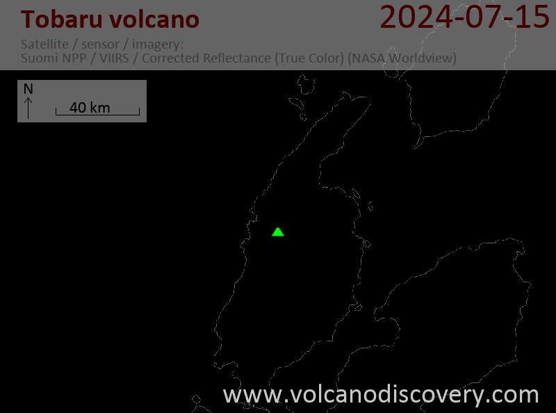
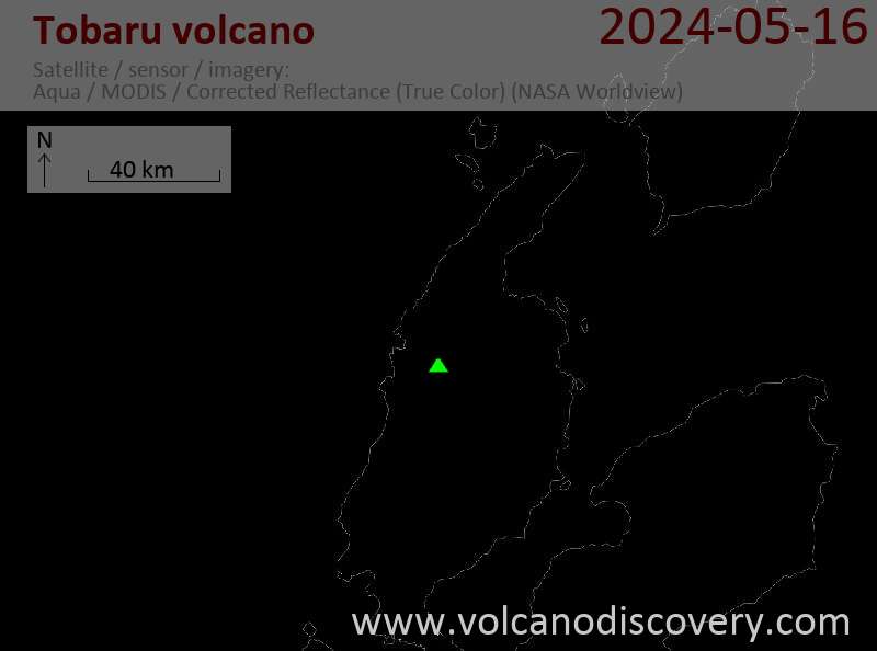
Neueste Satellitenbilder
Tobaru Vulkan Karten
Below is a selection of maps showing the location and surroundings of the volcano at various resolutions based on aerial-imagery / terrain maps. Feel free to use them for non-commercial purposes on your blog or website as long as you credit them with a link back to this page (click to copy it).
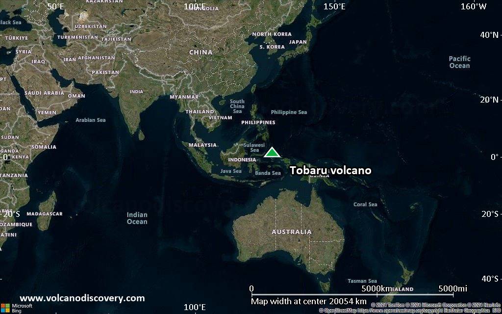
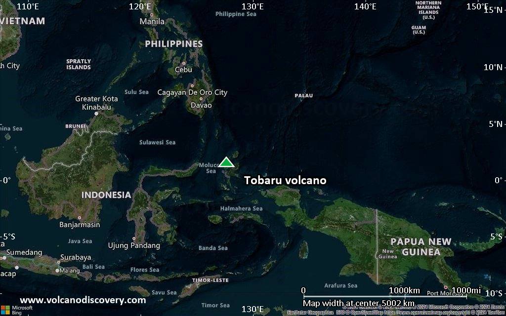
Satellite/aerial-type map of Tobaru volcano (world scale)
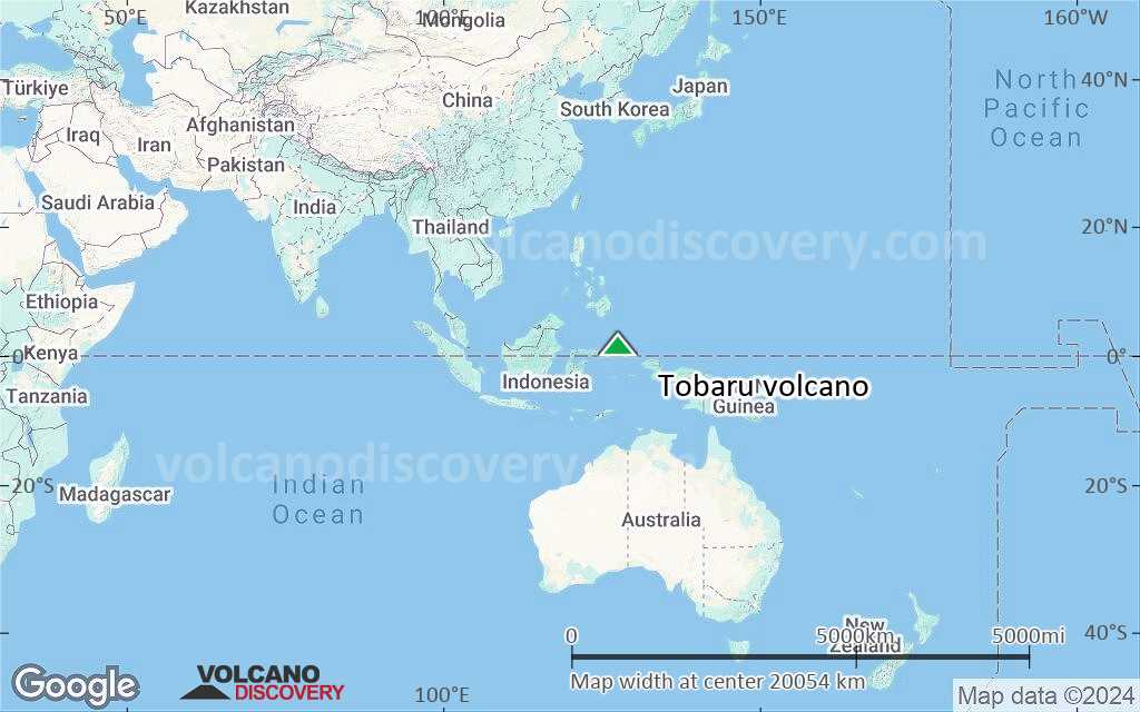
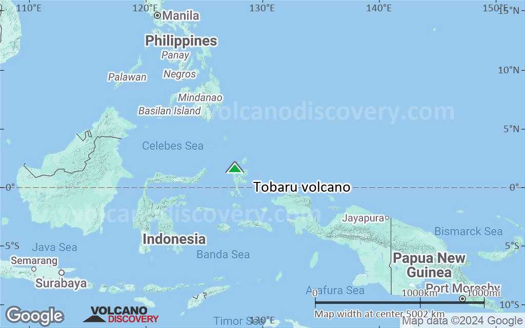
Terrain-type map of Tobaru volcano (world scale)
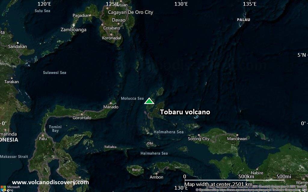
Satellite/aerial-type map of Tobaru volcano (region scale large)
Terrain-type map of Tobaru volcano (region scale large)
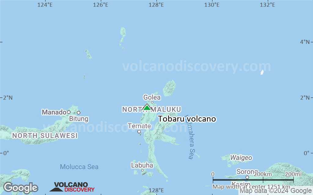
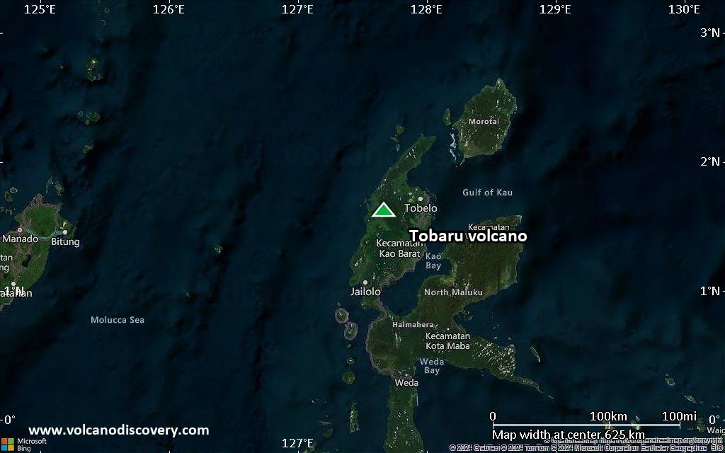
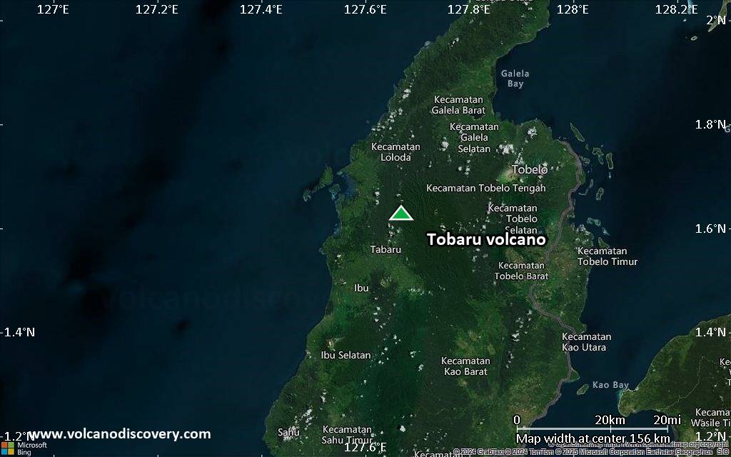
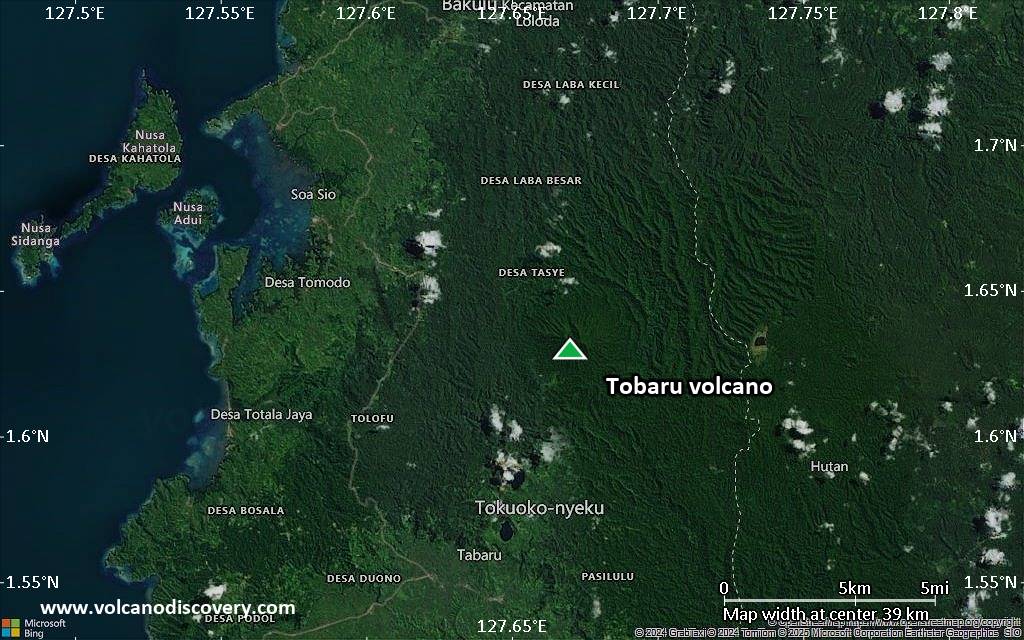
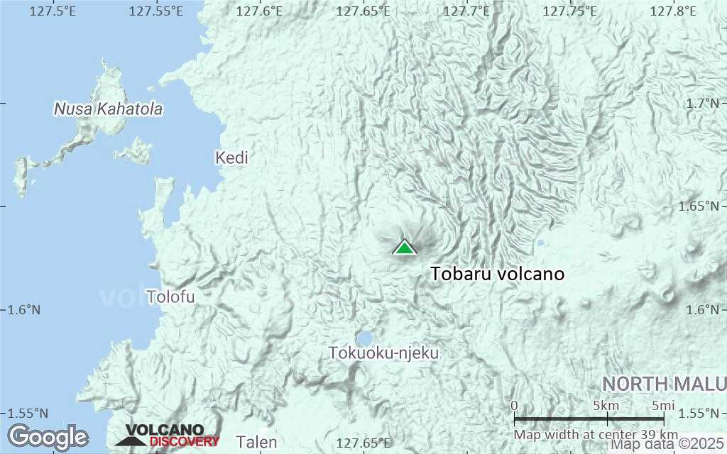
Satellite/aerial-type map of Tobaru volcano (region scale medium)

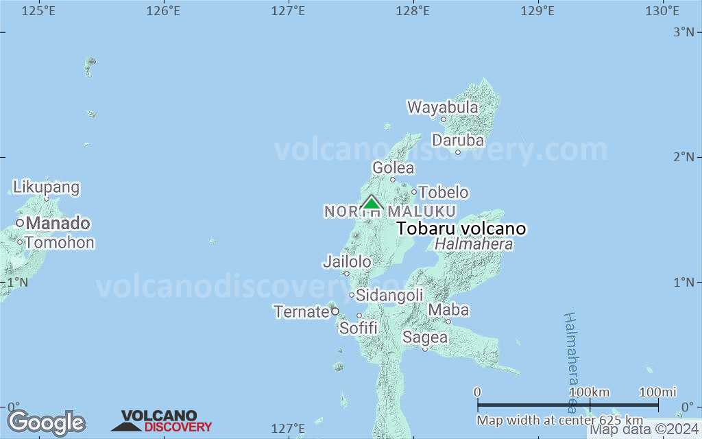
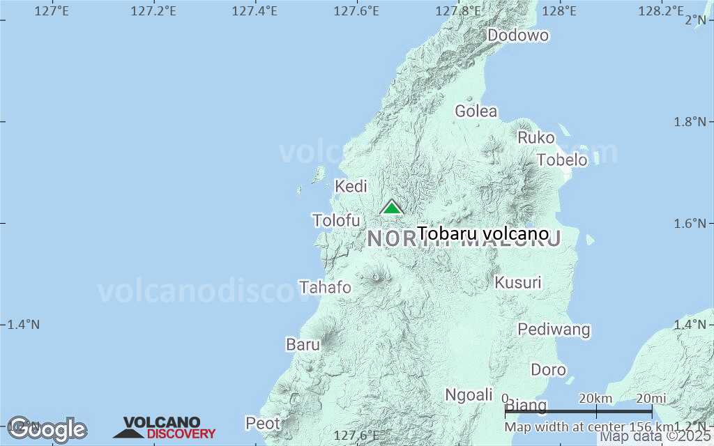
Terrain-type map of Tobaru volcano (region scale medium)

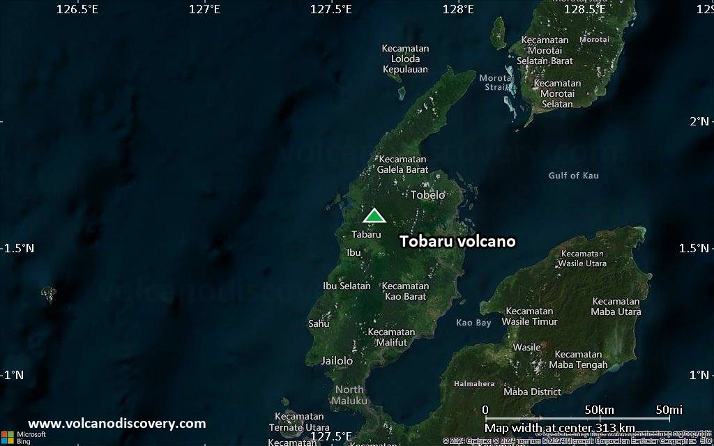
Satellite/aerial-type map of Tobaru volcano (region scale small)
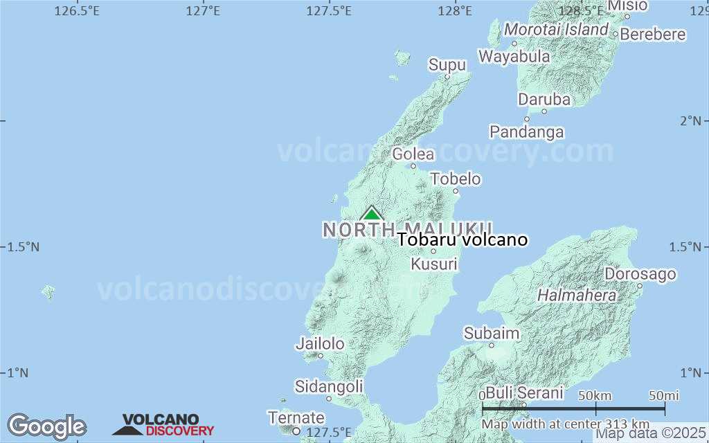
Terrain-type map of Tobaru volcano (region scale small)
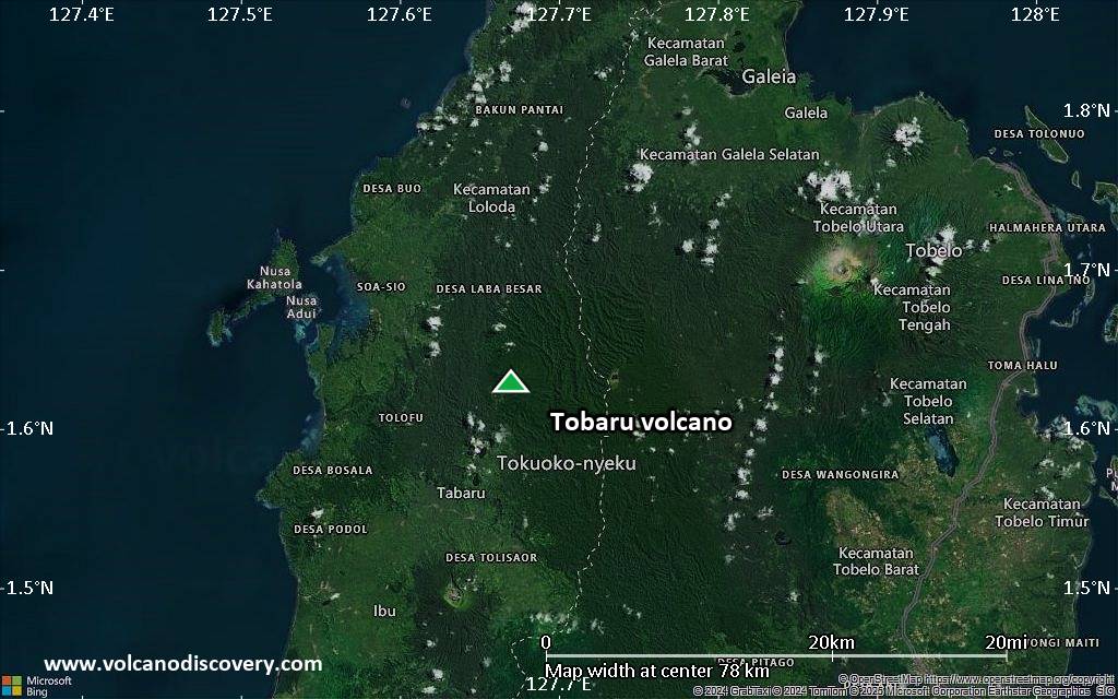
Satellite/aerial-type map of Tobaru volcano (local scale large)
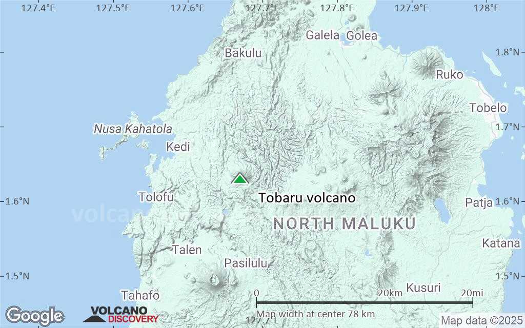
Terrain-type map of Tobaru volcano (local scale large)
Satellite/aerial-type map of Tobaru volcano (local scale medium)
Terrain-type map of Tobaru volcano (local scale medium)
Satellite/aerial-type map of Tobaru volcano (local scale small)
Terrain-type map of Tobaru volcano (local scale small)
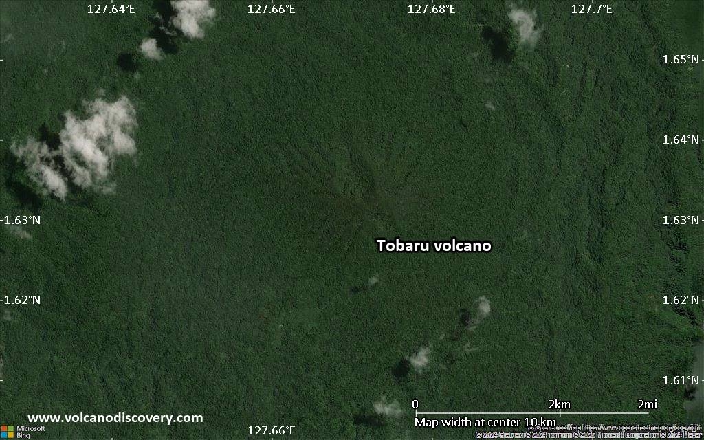
Satellite/aerial-type map of Tobaru volcano (scale of 10s of km)
Terrain-type map of Tobaru volcano (scale of 10s of km)
Satellite/aerial-type map of Tobaru volcano (scale of 20-40 km)
Terrain-type map of Tobaru volcano (scale of 20-40 km)
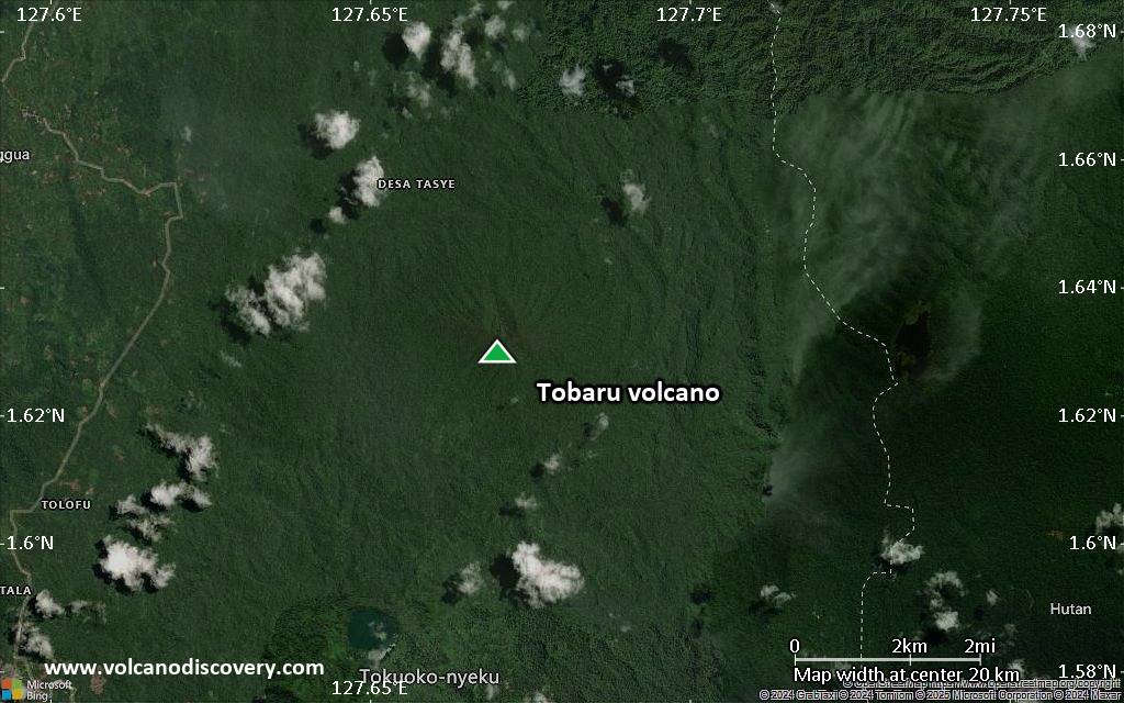
Satellite/aerial-type map of Tobaru volcano (scale of approx. 10-20 km)
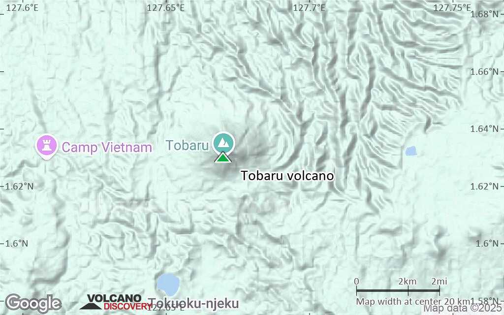
Terrain-type map of Tobaru volcano (scale of approx. 10-20 km)
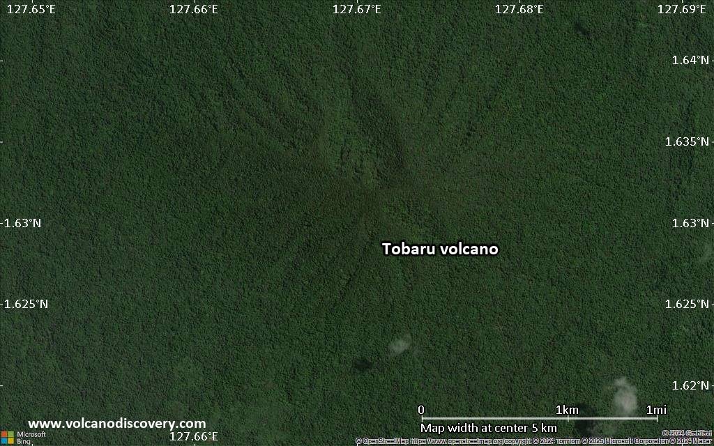
Satellite/aerial-type map of Tobaru volcano (scale of 5-10 km)
Satellite/aerial-type map of Tobaru volcano (scale of few kilometers)


