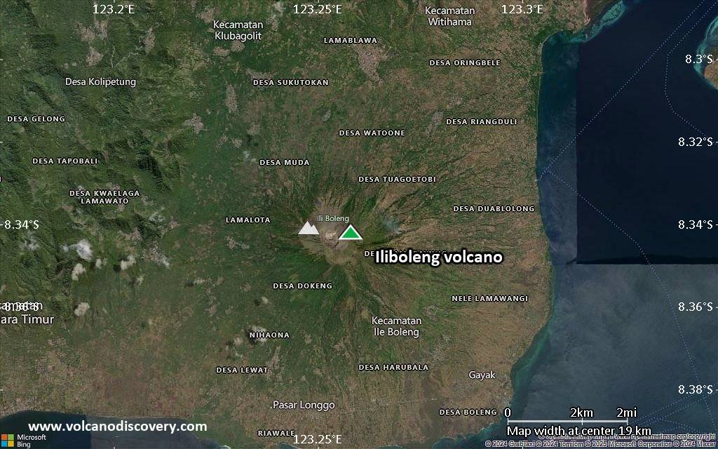
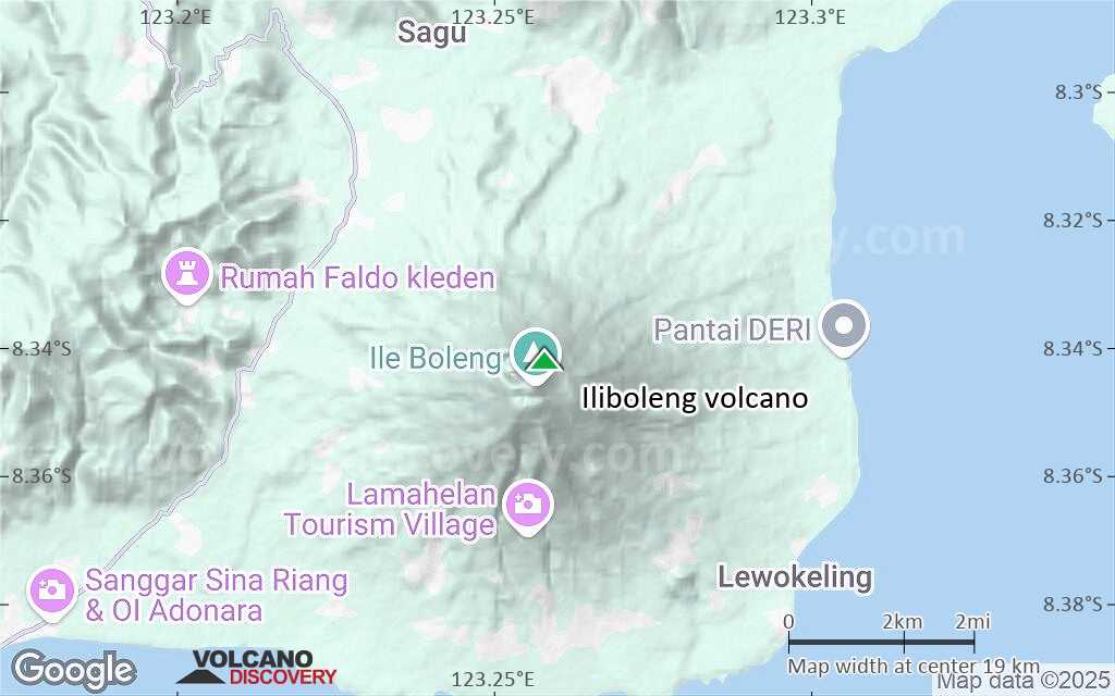
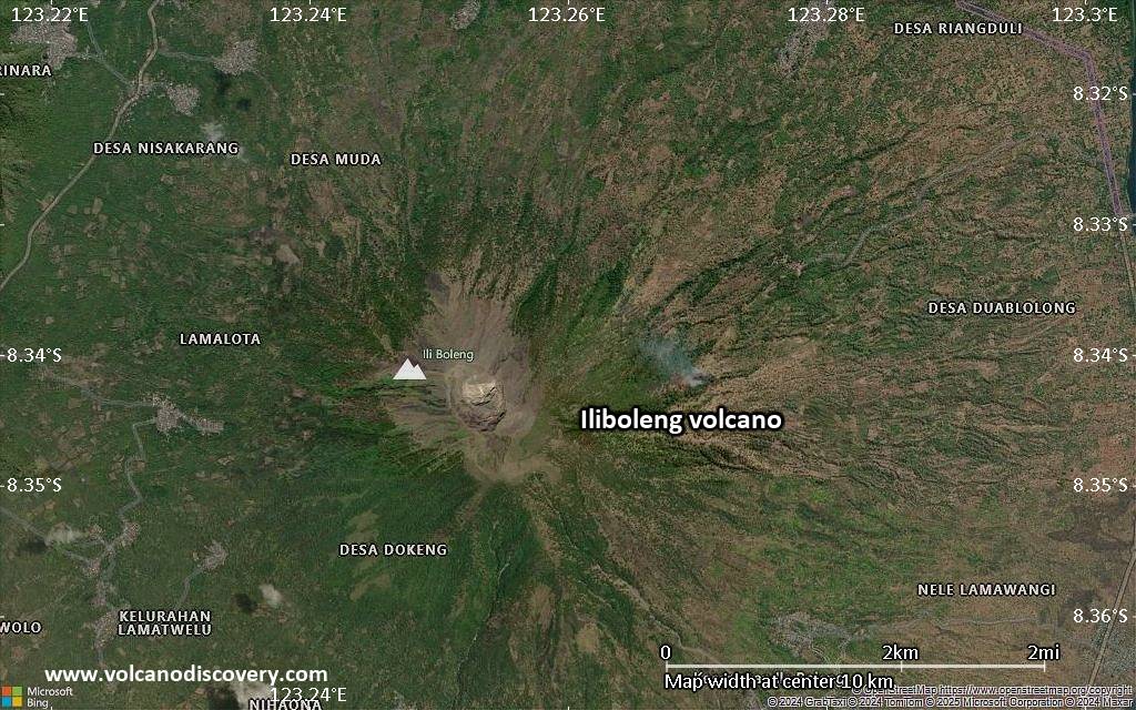
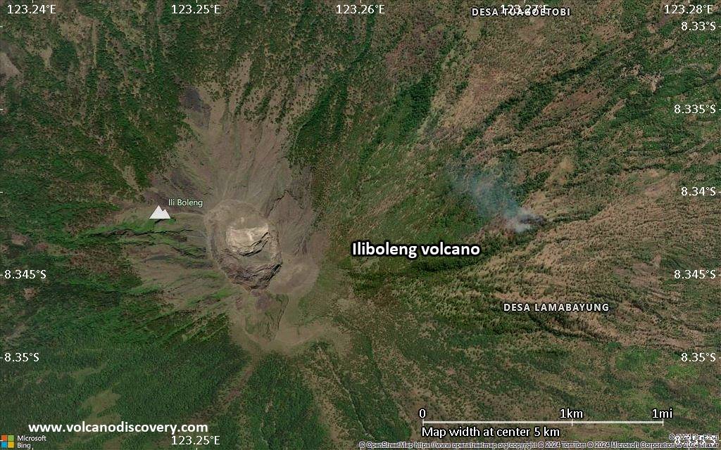
| RSS | EN | DE | EL | ES | FR | IT | RU

Iliboleng Vulkan

Updated: 22. Apr. 2025 06:09 GMT -
stratovolcano
Kleine Sunda-Inseln (Indonesien), -8.34°S / 123.26°E
Summit height: 1659 m / 5,443 ft
Aktueller Status: normal / ruhend (1 von 5)

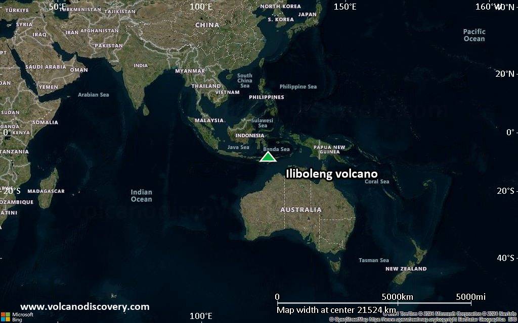
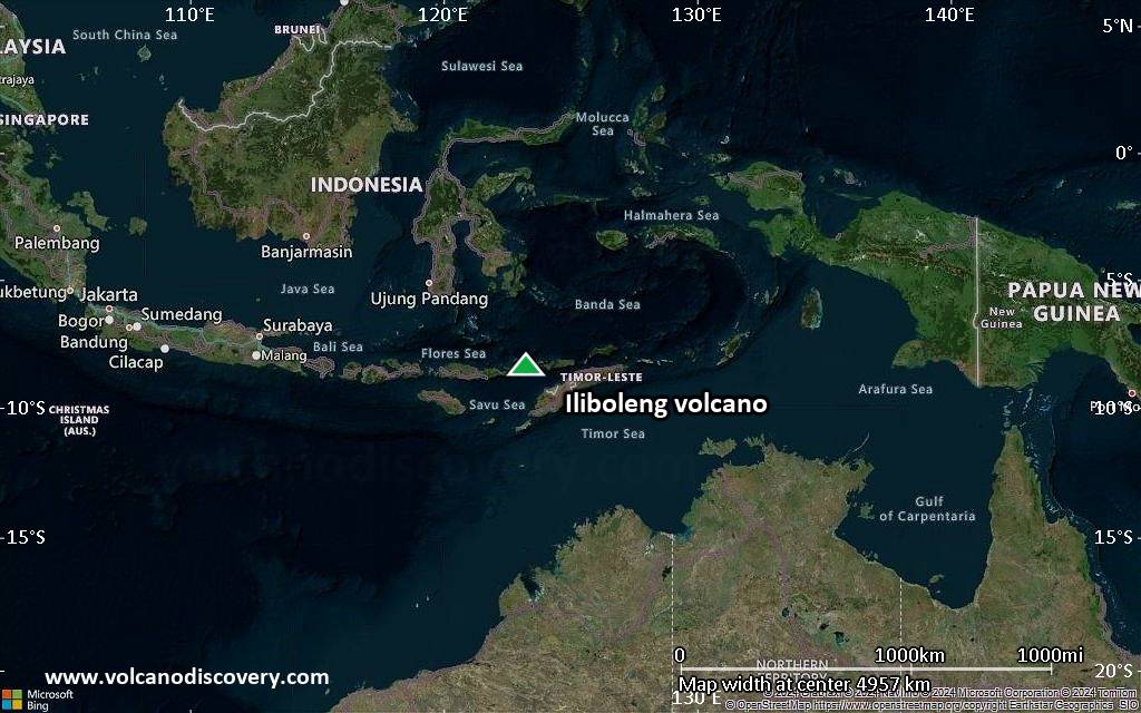
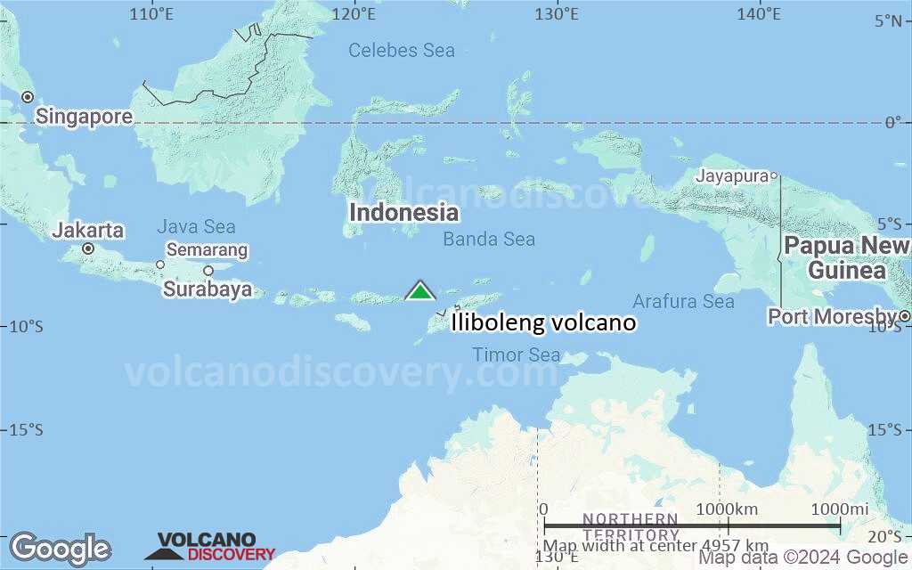
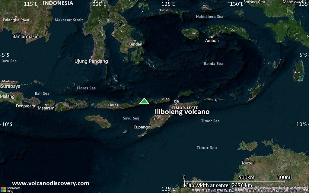
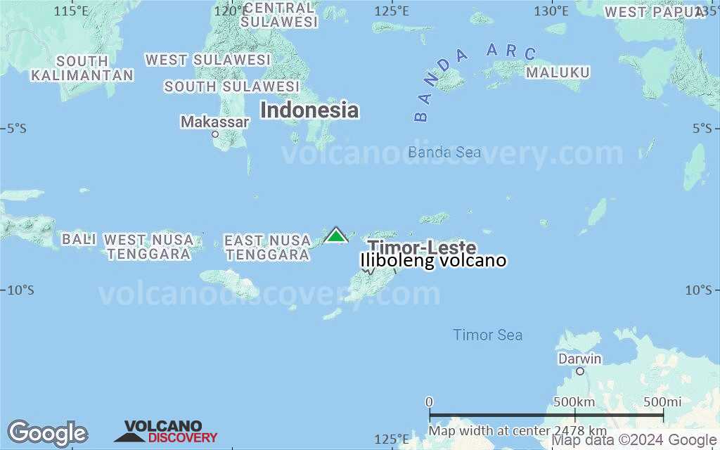
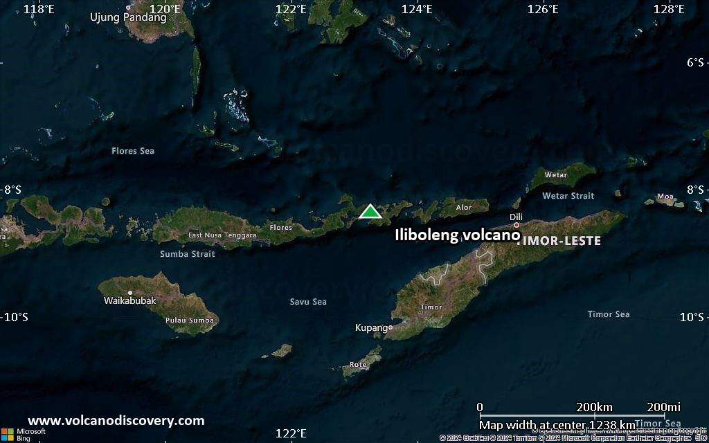
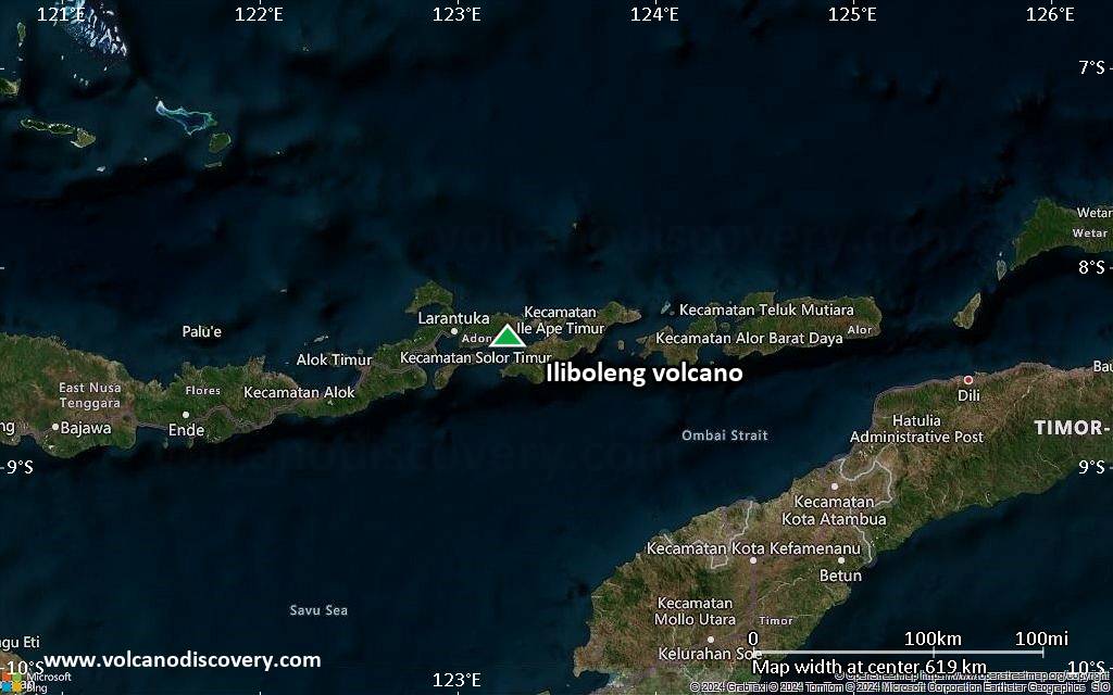
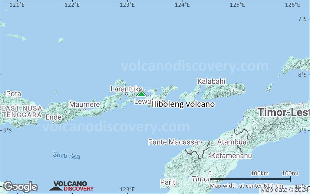
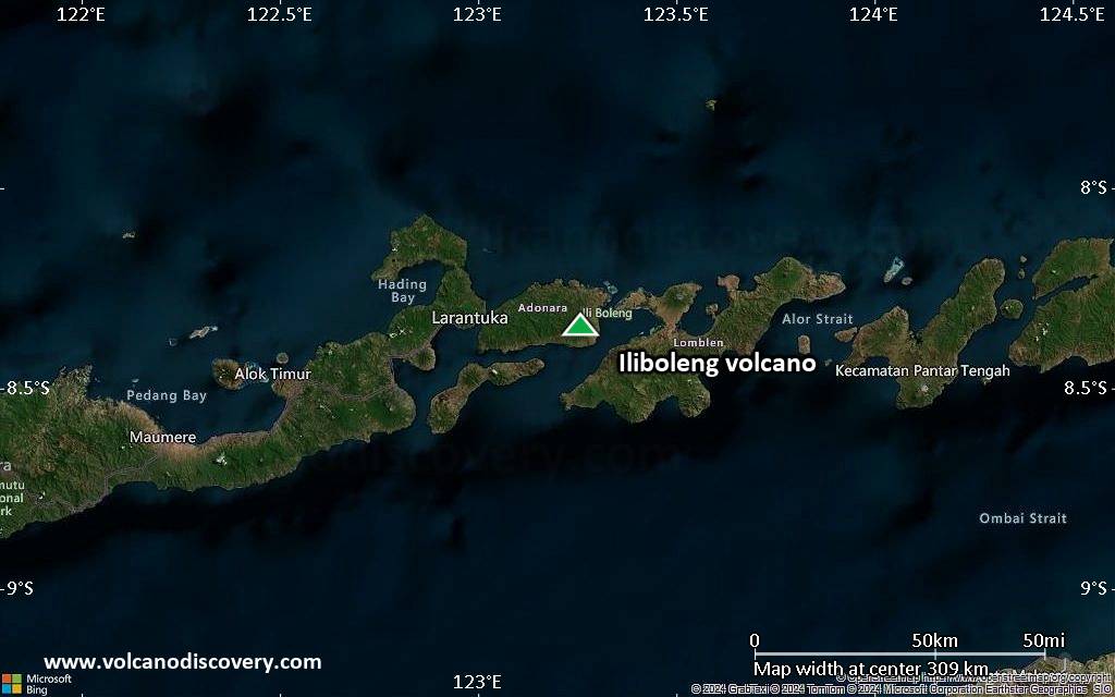
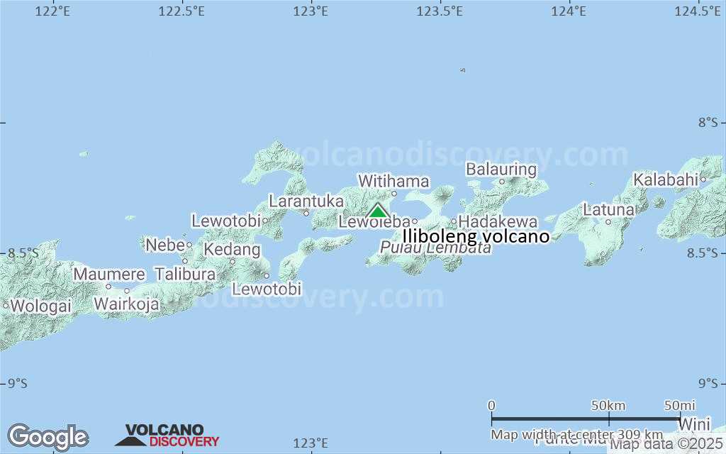
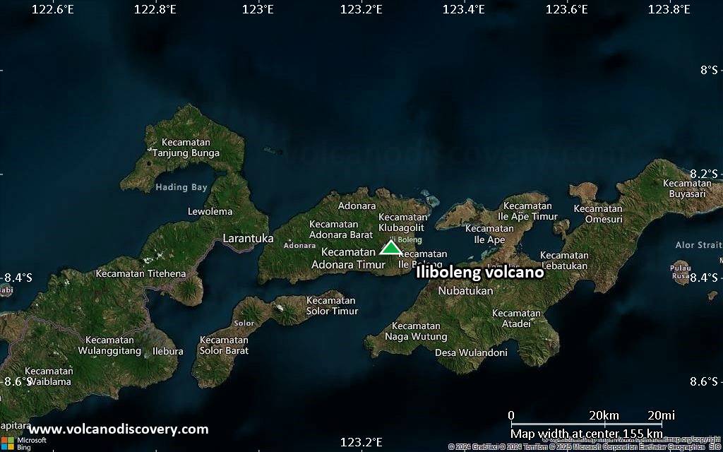
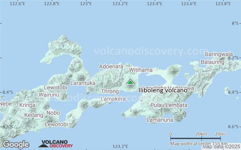
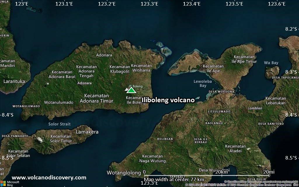
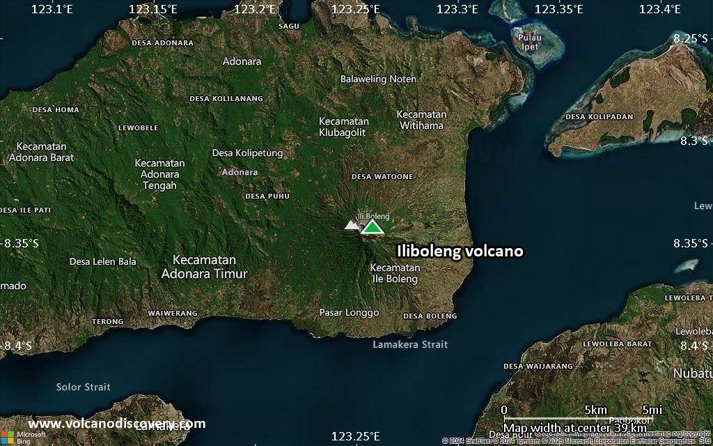
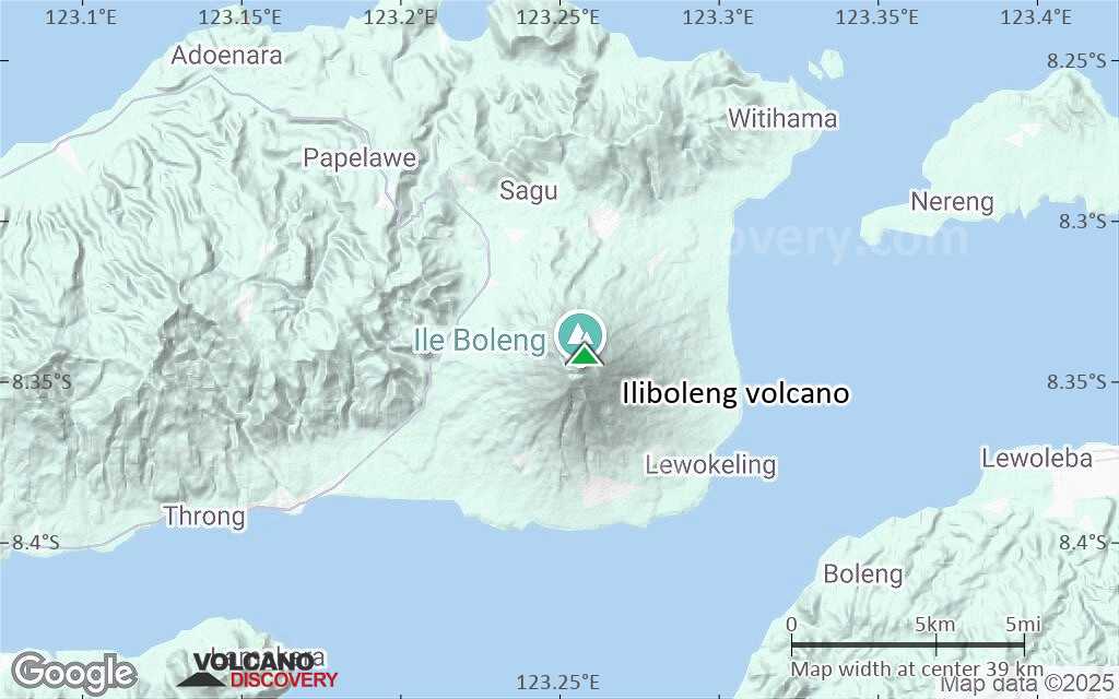
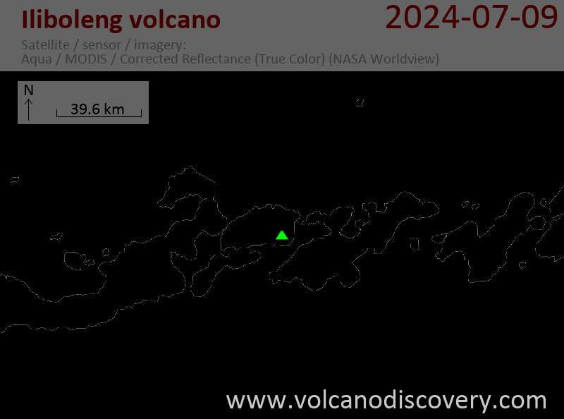
Frequently active Iliboleng volcano (or Ili Boleng) is located in the SE corner of Adonara Island, across a narrow strait from Lomblen Island and 25 km east of Flores. Iliboleng has 5 partly overlapping summit craters and an irregular profile caused by lava flows.
A cone low on the SE flank, Balile, has also erupted lava flows. Historical eruptions were first recorded in 1885. Frequent eruptions since then consisted of moderate explosive activity. Lava flows were only observed in the eruption of 1888.

[smaller] [larger]
Typische Aktivität: Explosive
Ausbrüche des Iliboleng: 1991, 1987, 1986, 1983-84, 1982, 1973-74, 1951, 1950, 1949, 1948, 1944, 1927, 1925, 1909, 1904, 1888, 1885

Letzte Erdbeben in der Nähe

Datum und UhrzeitMag / TiefeDistanz / Ort

Bedeutende Vulkanausbrüche: Iliboleng volcano

In the past 10,000 years, Iliboleng has had at least 20 confirmed eruptions, all documented by historical records or observations.
The table below lists all known eruptions (date in bold face) of Iliboleng volcano in historic times and during the past 10,000 years. Updates on the most recent volcanic activity of Iliboleng can be found on the news page of Iliboleng volcano.
DatumHinweisVEITodesopferSchaden
1993 Jun 16 ±15 d. - Jul 16 ±15 d.
Hist. dokumentiert
1?
unbekannt
1991 Nov 3 - Nov 15
Hist. dokumentiert
1
unbekannt
1991 Mai 8 - Jun 30 oder danach
Hist. dokumentiert
1
unbekannt
1987 Okt 2
Hist. dokumentiert
2
unbekannt
1986 Mai 28 - Nov 24
Hist. dokumentiert
1
unbekannt
1983 Mai 11 - 1984 Apr 13
Hist. dokumentiert
2
unbekannt
1982 Nov 17
Hist. dokumentiert
2
unbekannt
1973 Apr 16 ±15 d. - 1974 Apr 16 ±15 d.
Hist. dokumentiert
2
unbekannt
1951 Jul 2 ±182 d.
Hist. dokumentiert
2?
unbekannt
1950 Mär 16 ±15 d. - Aug 16 ±15 d.
Hist. dokumentiert
2
unbekannt
1949 Jun 12
Hist. dokumentiert
2
unbekannt
1949 Feb 4
Hist. dokumentiert
2
unbekannt
1948 Apr 29
Hist. dokumentiert
2
unbekannt
1944 Aug - Okt
Hist. dokumentiert
2
unbekannt
1927
Hist. dokumentiert
2
unbekannt
1925
Hist. dokumentiert
2
unbekannt
1909 Nov 9
Hist. dokumentiert
2
unbekannt
1904
Hist. dokumentiert
2
unbekannt
1888
Hist. dokumentiert
2
unbekannt
1885 Sep - Okt
Hist. dokumentiert
2
unbekannt
Anmerkung:
Unsere Liste von Vulkanausbrüchen orientiert sich eng an der Datenbank des Global Volcanism Project (GVP) des Smithsonian Instituts, der international anerkanntesten globalen Datenquelle für Vulkanausbrüche. Sie schließt aber auch bedeutende Eruptionsepisoden oder damit zusammenhängende Vulkanereignisse ein. Unter "Vulkanausbrüchen" versteht man in der Regel meist Serien einzelner Eruptionsepisoden, die zeitlich aufeinander folgen oder sich (bei mehreren beteiligten Ausbruchspunkten an einem Vulkan) auch überlappen können und unter Umständen viele Jahre, Jahrzehnte oder noch länger andauern können. So ist z.B. die aktuelle Tätigkeit des Stromboli als ein einziger Ausbruch verstanden, der seit 1934 anhält.
Quellen: NOAA National Centers for Environmental Information (NCEI), Global Significant Volcanic Eruptions Database. doi:10.7289/V5TD9V7K | Global Volcanism Project / Smithsonian Institution

Ausbrüche des Vulkans Iliboleng


1991 eruptions
Ash eruptions occurred on 3 and 15 November 1991, ejecting columns to a maximum of ~150 m above the crater rim.

1987 eruption
A large explosion on 2 October at 22h52 local time, causing light ash fall in about a 15 km2 area around the volcano.

1986 eruption
On 28 May 1986, a single explosion ejected incandescent material and caused grass fires and ashfall on lantations and on Lamalota, Dua Muda, Tuawolo, and Kiwangona villages. 570 villagers were evacuated.
Ash eruptions were reported on 18 July and 10, 15, and 24 November. The ash plume on 24 November reached 1,000 m height and was blown NNW, covering 18.7 km2 with ca. 1 mm of ash. There were no casualties.
---
Source: GVP monthly reports

1984 eruptions
Ash eruptions were reported from Iliboleng volcano on 3 January and 13 April 1984, producing dark ash plumes reaching 1 km height.

1983 eruption
Ash eruptions were reported on 11 May, 22 September, and 24 November 1983. Black ash plumes rose 500 m above the crater.

1982 eruption
An ash eruption occurred on 17 November and produced an ash plume plume 1 km high. Ash fell on nearby villages.

1948 eruption
Iliboleng volcano erupted on 27 April 1948, ejecting an estimated of 500 m3 of volcanic material.

Iliboleng Volcano FAQ

+When was the last eruption of Iliboleng volcano?

+How often does Iliboleng volcano erupt?

+How active is Iliboleng volcano at present?

+When was the largest eruption of Iliboleng volcano?

Neueste Satellitenbilder

Iliboleng Satellitenbild sat1Iliboleng Satellitenbild sat2

Iliboleng Vulkan Karten

Below is a selection of maps showing the location and surroundings of the volcano at various resolutions based on aerial-imagery / terrain maps. Feel free to use them for non-commercial purposes on your blog or website as long as you credit them with a link back to this page (click to copy it).
Satellite/aerial-type map of Iliboleng volcano (world scale)
Terrain-type map of Iliboleng volcano (world scale)
Satellite/aerial-type map of Iliboleng volcano (region scale large)
Terrain-type map of Iliboleng volcano (region scale large)
Satellite/aerial-type map of Iliboleng volcano (region scale medium)
Terrain-type map of Iliboleng volcano (region scale medium)
Satellite/aerial-type map of Iliboleng volcano (region scale small)
Terrain-type map of Iliboleng volcano (region scale small)
Satellite/aerial-type map of Iliboleng volcano (local scale large)
Terrain-type map of Iliboleng volcano (local scale large)
Satellite/aerial-type map of Iliboleng volcano (local scale medium)
Terrain-type map of Iliboleng volcano (local scale medium)
Satellite/aerial-type map of Iliboleng volcano (local scale small)
Terrain-type map of Iliboleng volcano (local scale small)
Satellite/aerial-type map of Iliboleng volcano (scale of 10s of km)
Terrain-type map of Iliboleng volcano (scale of 10s of km)
Satellite/aerial-type map of Iliboleng volcano (scale of 20-40 km)
Terrain-type map of Iliboleng volcano (scale of 20-40 km)
Satellite/aerial-type map of Iliboleng volcano (scale of approx. 10-20 km)
Terrain-type map of Iliboleng volcano (scale of approx. 10-20 km)
Satellite/aerial-type map of Iliboleng volcano (scale of 5-10 km)
Satellite/aerial-type map of Iliboleng volcano (scale of few kilometers)
Volcanoes & Earthquakes - new app for Android
Garantierte Reisen
9.-25. Jun 2025: Volcanoes and Spices - N-Sulawesi + Halmahera (Indonesien)
7.-23. Jul 2025: Volcanoes and Spices - N-Sulawesi + Halmahera (Indonesien)
1.-17. Aug 2025: Volcanoes and Spices - N-Sulawesi + Halmahera (Indonesien)
1.-14. Okt 2025: Wüste, Salz und Vulkane - Danakilwüste (Äthiopien)
4.-12. Okt 2025: Feuerberge Siziliens - vom Stromboli zum Ätna - Äolische Inseln + Ätna
3.-19. Nov 2025: Volcanoes and Spices - N-Sulawesi + Halmahera (Indonesien)
= Plätze frei   = garantiert   = Wenig freie Plätze   = Ausgebucht

No news in this list.

Auf dieser Seite:

Try our free app!
Volcanoes & Earthquakes - new app for Android
Android | iOS version

More on VolcanoDiscovery

Warum gibt es Werbung auf dieser Seite?

Unterstützen Sie unsere Arbeit!

Diese Webseite und die dazugehörigen Apps und Tools instandzuhalten und kostenlos Nachrichten zu Vulkanen, Erdbeben und anderen Themen bereitzustellen, verschlingt enorm viel Zeit und auch Geld.
Wenn Sie die Infos mögen und uns in der Arbeit dazu unterstützen wollen, würden wir uns über eine Spende (über PayPal) sehr freuen.
Online Zahlung (Kreditkarte)
Damit können wir Ihnen auch in Zukunft neue Features entwickeln und Bestehende laufend verbessern.Vielen Dank!
Sources: VolcanoDiscovery / VolcanoAdventures and other sources as noted.
Use of material: Most text and images on our websites are owned by us. Re-use is generally not permitted without authorization. Contact us for licensing rights.
Volcanoes & Earthquakes
VolcanoDiscovery Home
Vulkane | Erdbeben | Fotos | News | | Shop | App
Adventure & Study Travel
Reisen zu Vulkanen und Vulkangebieten: Wanderreisen, Studienreisen, Fotoreisen
Tours & Dates | FAQ | About us
Get our newsletter!
Company info
Kontakt | Impressum | AGB
Follow us
Follow us on facebook Follow us on Instagram Follow us on Bluesky Follow us on Twitter Visit our Youtube channel
EN | DE | EL | ES | FR | IT | RU
VolcanoDiscovery GmbH, Germany, Reg. nr.: HRB 103744, EU Tax Id: DE 297 465 123 owned and created by
Dr. Tom Pfeiffer, volcanologist, volcano photographer, tour organizer member of
IAVCEI
IAVCEI
Vulkanologische Gesellschaft
Volcanological Society
Ecotourism Greece
Ecotourism Greece
RUV insurance
Insured by R+V
VolcanoDiscovery © 2004- All Rights Reserved | Datenschutz - Cookie Einstellungen