Ritter Island Volcano
Northeast of New Guinea (Papua New Guinea), -5.52°S / 148.12°E
Current status: normal or dormant (1 out of 5)
Ritter volcano is a very active basaltic-andesitic stratovolcano and forms the Ritter Island between Umboi and Sakar Islands in the Dampier Strait., ca. 9.5 km NE of Umboi Island and 21 km west of New Britain.
Present-day Ritter Island is the remnant of a larger island which was destroyed during a massive flank collapse in 1888, which reduced the near circular steep and 780 m high original volcanic island to to a small 140 m high and 1900 m long arcuate island with a steep west-facing cliff that continues below sea level. Devastating tsunamis were produced by the 1888 collapse and swept onto the coast of Papua New Guinea and offshore islands.
Many eruptions from Ritter Island are submarine. Along with the landslides that often accompany them, they frequently generate tsunamis.
Ritter Island volcano eruptions: 2007, 2006, 2002(?), 1974, 1972, 1888, 1887, 1793, 1770
Latest nearby earthquakes
| Time | Mag. / Depth | Distance / Location | |||
Background
Historic activityThe activity of Ritter Island volcano includes strombolian and submarine activity as well as the growth of lava domes with associated pyroclastic flows (pelean).
Several eruptions had been recorded prior to 1888. In 1700, Dampier reported violent explosive activity. Several small eruptions were recorded after the collapse in 1888, such as during 1972, 1974, 2006 and 2007. Mostoccurred offshore within the largely submarine 3.5 x 4.5 km breached depression left by the collapse.
Eruptions of Ritter Island volcano
A new small eruption started at Ritter volcano on 19 May and was accompanied by a small tsunami that destroyed a boat and 4 houses on nearby Siassi (Umboi) Island. 1500-2000 people from 2 villages on Siassi evacuated to higher ground. Villagers reported plumes from the island, rumbling noises, and earthquakes.
The eruption on 19 May was similar to the 1972 and 1974 events, in that it lasted only a few hours and was preceded by explosion sounds followed by the tsunami. The Geophysical Observatory in Port Moresby did not record any seismic activity from the eruption.
Another tsunami was produced on 30 May, reaching heights of 4-10 meters around Ritter Island, mainly on the S part. Scorched vegetation was observed in the same area and dead marine animals, mainly reef fish, around the coastline. No fresh lava could be seen, but a new landslide had occurred on the S tip of island where an portion from the uppermost part of the island (~100 m elevation) down to sea level had been removed. Several other smaller landslide scars were seen on the W wall. Rockfalls continued to produce dust clouds that could be seen from a distance.
---
Source: Smithsonian / GVP monthly reports
On 17 October 1974, a seismic crisis occurred at Ritter Island and was followed by a small eruption, landslides and a small tsunami.
A submarine eruption occurred at Ritter Island on 8 October 1972. Inhabitants of Umboi and Sakar Islands witnessed the eruption. The site of the eruption was off the west coast of Ritter Island. The frequent explosions could be heard 35 km away, and produced black jets of ash and blocks mixed with steam, producing small dark mushroom clouds. These surtseyan-type explosions occurred at a frequency of 1-2 per minute.
(GVP monthly reports)
Ritter Island collapsed on 13 March 1888 around 5:30 am local time, following a minor eruption. The collapse reduced the 780 m high, 1.5 km wide island to a thin remnant of only 100 m maximum height. It had removed much of the western submarine flank of the volcano as well.
As much as 5 km3 of material collapsed, making this the largest historical island volcano collapse in the world. (Its volume is about twice the volume of the 1980 collapse of Mount St Helens).
The westward-directed landslide launched a catastrophic tsunami that hit nearby coasts and caused several hundred fatalities. It spread further to coasts several hundred kilometers distance and caused significant damage.
---
Source:
Steven N. Ward and Simon Day (2003) "Ritter Island Volcano—lateral collapse and the tsunami of 1888", Geophys. J. Int., v 154, pp. 891–902
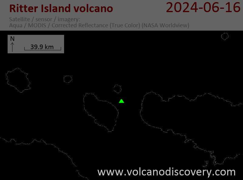
Latest satellite images