Late Volcano
Updated: May 15, 2024 19:37 GMT -
Stratovolcano 540 m / 1,772 ft
Tonga, Tonga Islands, -18.81°S / -174.65°W
Current status: normal or dormant (1 out of 5)
Tonga, Tonga Islands, -18.81°S / -174.65°W
Current status: normal or dormant (1 out of 5)
Last update: 7 Dec 2022 (Smithsonian / USGS Weekly Volcanic Activity Report)
[smaller] [larger]
Late volcano eruptions: 1854
Latest nearby earthquakes
| Time | Mag. / Depth | Distance / Location | |||
Background
The small, 6-km-wide circular island of Late, lying along the Tofua volcanic arc about 55 km WSW of the island of Vavau, contains a 400-m-wide, 150-m-deep summit crater with an ephemeral lake. The largely submerged basaltic-andesite to andesitic volcano rises 1500 m from the sea floor, with its conical summit reaching 540 m above sea level. Cinder cones are found north of the summit crater, west and north of a semicircular plateau 100-150 m below the summit, and on the NW coast. A graben-like structure on the NE flank contains two large pit craters, the lower of which is partially filled by a saltwater lake. Only two eruptions have occurred in historical time, both from NE-flank craters, which produced explosive activity and possible lava flows in 1790 and 1854.---
Smithsonian / GVP volcano information
Late Volcano Photos
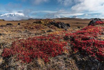
Panorama of 4 volcanoes (l-r): Ushkovsky, Klyuchevskoy, Kamen and Bezymianny seen from the plateau north of Tolbachik. (Photo: Tom Pfeiffer)
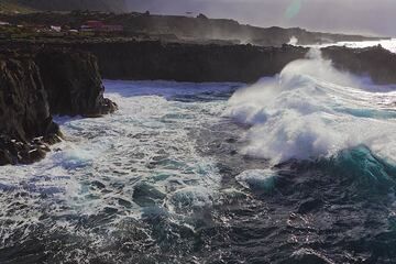
Big surf at the west coast of El Hierro Island. The coast is formed by Holocene basalt lava flows forming a plateau that is exposed to the full force of the ocean waves. ...
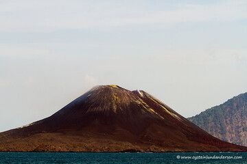
Anak-Krakatau. Seen from Verlaten Isl. (photo of 6th Oct.2012) (Photo: andersen_oystein)
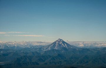
After the plane turned 180 deg into the western landing approach path, another volcano comes into the sight from the left windows: Vilyuchik stratovolcano at the edge of ...
Latest satellite images